Hello Friends,
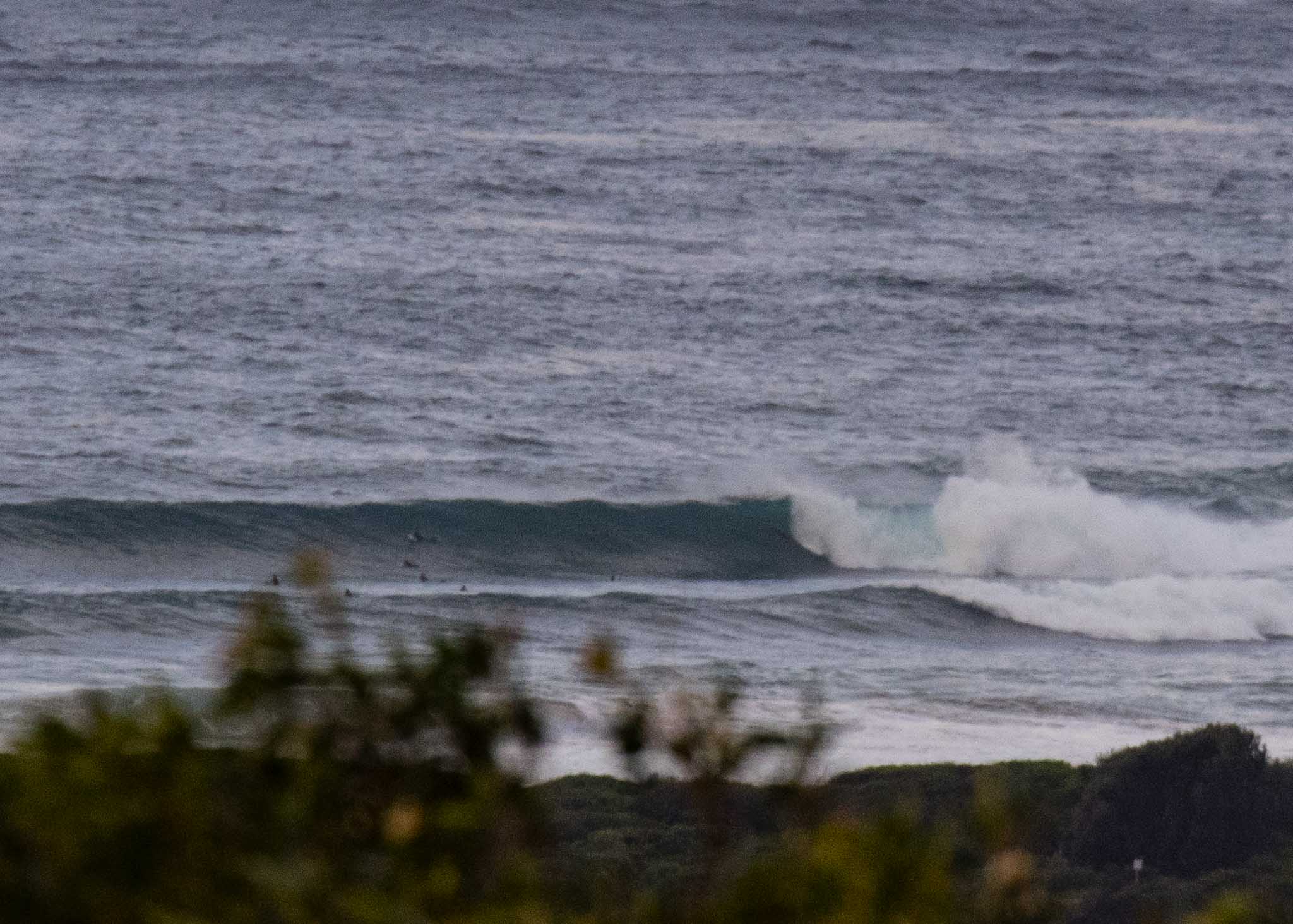
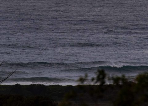
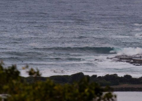
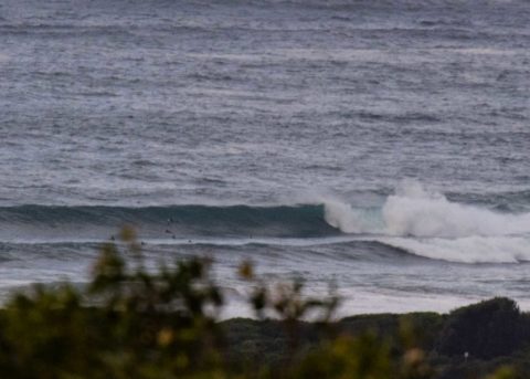
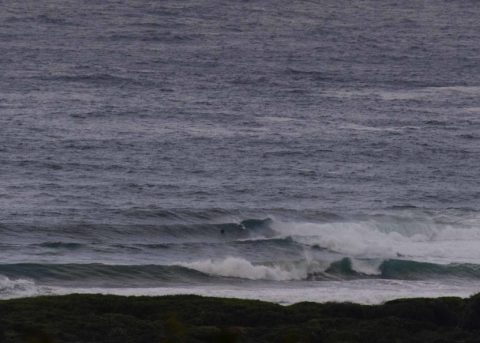
At 0700 the MHL buoy was showing 3.3 metres of SSE (142°) at 10 seconds. Wind was 15-25 kts from the SSW at 0820 which, as you can see from the pictures means relatively clean surface conditions at the Dee Why end of the beach. Waves were up to double overhead on the bomb sets when I grabbed the snaps. Looking at the MHL data, it’s obvious that we’ve passed the peak of this pulse, but it’s still pretty solid up and down the NSW coast.
You’ll want to be fit and confident to get in today at the point. More protected corners (eg Collaroy) should be more approachable for the non-hellperson.
Wind is set to swing more southerly as the day goes along. Tide was low at 0530 and is now coming into a 1.3 m high at 1130.
The wind doesn’t look like playing nice for the coming week. The modeling generally projects southerly through Tuesday then light but easterly for midweek and northerly for the back half. On the good side it shouldn’t go flat on us – although by next weekend we could be heading into an extended period of small to very small as we wait for the next pulse…
Might get out with the camera this morning, so check back later in case I have snaps to share. Have yourself a good Sunday and stay happy!
Weather Situation
A complex low pressure system in the Tasman Sea is slowly moving east, while a high pressure centre near Tasmania extends a ridge over western New South Wales. These two systems are combining to generate vigorous southerly winds and large waves. Conditions are expected to ease early in the new week as the low moves further east and a high pressure ridge strengthens in the western Tasman Sea.
Forecast for Sunday until midnight
- Winds
- Southerly 20 to 25 knots.
- Seas
- 1.5 to 2.5 metres, decreasing to 1.5 metres by early evening.
- Swell
- Southeasterly 3 metres inshore, increasing to 3 to 4 metres offshore.
- Weather
- Cloudy. 90% chance of showers.
- Caution
- Large and powerful surf conditions are expected to be hazardous for coastal activities such as crossing bars by boat and rock fishing.
Monday 4 June
- Winds
- Southerly 20 to 25 knots.
- Seas
- 1.5 to 2.5 metres.
- Swell
- Southeasterly 2 to 3 metres, decreasing to 2 metres by early evening.
- Weather
- Cloudy. 95% chance of showers.
- Caution
- Large and powerful surf conditions in the early morning are expected to be hazardous for coastal activities such as crossing bars by boat and rock fishing.
Tuesday 5 June
- Winds
- South to southeasterly 15 to 20 knots turning easterly 10 to 15 knots during the evening.
- Seas
- 1.5 to 2 metres, decreasing to 1 to 1.5 metres during the morning.
- Swell
- Southeasterly 1.5 to 2 metres.
- Weather
- Cloudy. 95% chance of showers. The chance of a thunderstorm.


