Hello Friends,
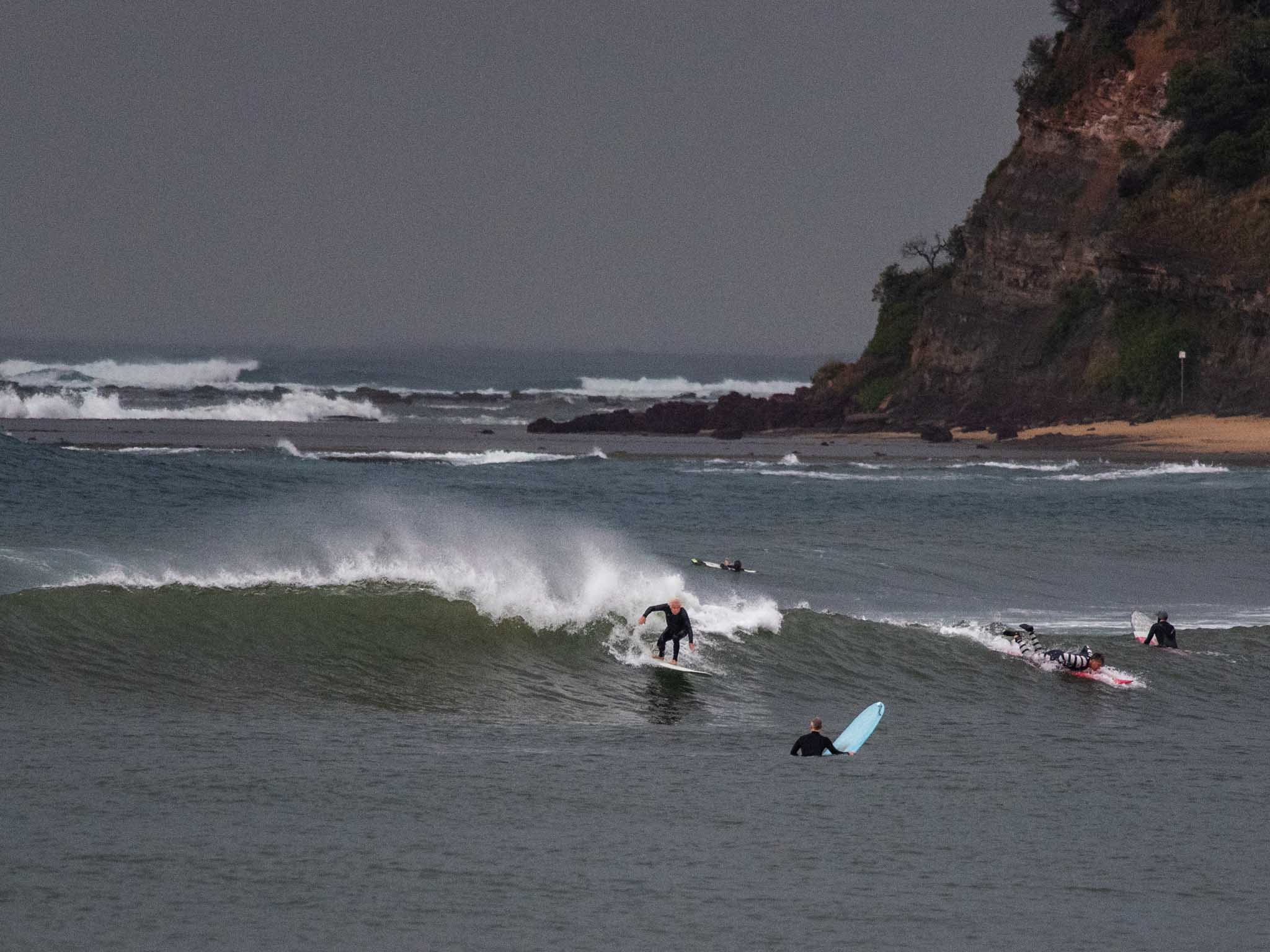
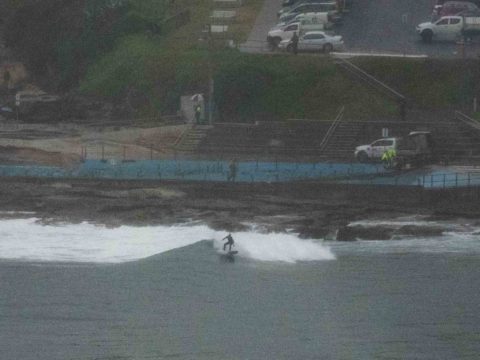
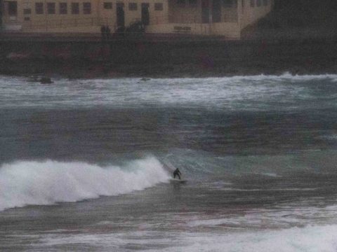
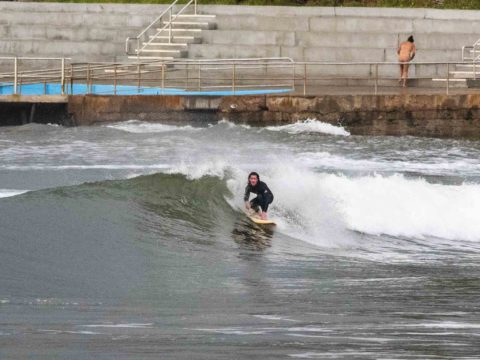
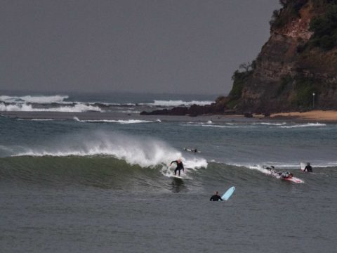
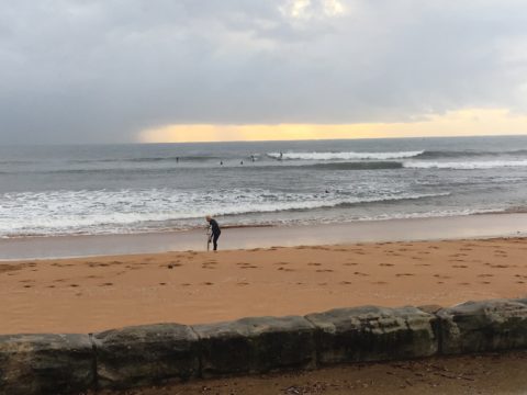
Light WNW wind as of 0700 this morning. Skies were cloudy as light showers queued up offshore arrived at regular intervals. Out at sea the swell was 3 metres from the south to SSE at about 10 seconds. Was out and about this morning so, had a look at Collaroy and then Dee Why (where visibility was affected by another rain shower). Sets at Collaroy looked to have faces into the shoulder high range, but it was quite inconsistent so I can’t be certain if there were occasional sets or not at the Kick. It was harder to make out what was happening at Dee Why, but it was definitely into the head high range on sets.
Next tide is a 1.4 m high at 1130, it touched a 0.36 m low at 0525. Ocean temp is still on 21C and apart from suss water at the lagoon entrances, Beachwatch is saying pollution is unlikely.
Surf conditions have a raw and bumpy look and the low tide didn’t seem to be helping much, with the beach mostly shutting down and lots of rogue sections making sets at the point more unmakeable than not.
Outlook is for the swell to hang in there at about the current intensity all day but wind will be out of the S-SE across the day, so surf options are going to be limited to a few corners.
As for the weekend and beyond, well, the mighty Goat has rolled out a fresh forecast for your consideration.
And from our B! correspondent who got in for a wave…
‘Languid lumps at Collaroy… but worth a paddle.’
Weather Situation
A strong high pressure system centred over Victoria is directing generally southerly winds along the New South Wales Coast. Winds tend southeasterly later today as the high drifts east and reaches the Tasman Sea. across Victoria. As the high moves further east across the Tasman on Saturday, winds will tend northerly along the south coast and easterly in the north. Meanwhile, a large southerly swell generated from a front that is near New Zealand will impact the New South Wales coast today.
Forecast for Friday until midnight
- Winds
- Southerly 10 to 15 knots, reaching up to 20 knots inshore early in the morning. Winds becoming southeasterly about 10 knots during the afternoon.
- Seas
- 1 to 1.5 metres, decreasing below 1 metre around midday.
- Swell
- Southerly 3 to 4 metres, decreasing to 2 to 3 metres in the afternoon.
- Weather
- Cloudy. 70% chance of showers.
- Caution
- Large and powerful surf conditions are expected to be hazardous for coastal activities such as crossing bars by boat and rock fishing.
Saturday 8 June
- Winds
- Variable about 10 knots becoming northwesterly 10 to 15 knots in the evening.
- Seas
- Below 1 metre.
- Swell
- Southerly 1.5 to 2 metres.
- Weather
- Partly cloudy.
Sunday 9 June
- Winds
- Variable about 10 knots.
- Seas
- Below 1 metre.
- Swell
- Southerly 1 to 1.5 metres.
- Weather
- Mostly sunny.

