Hello Friends,
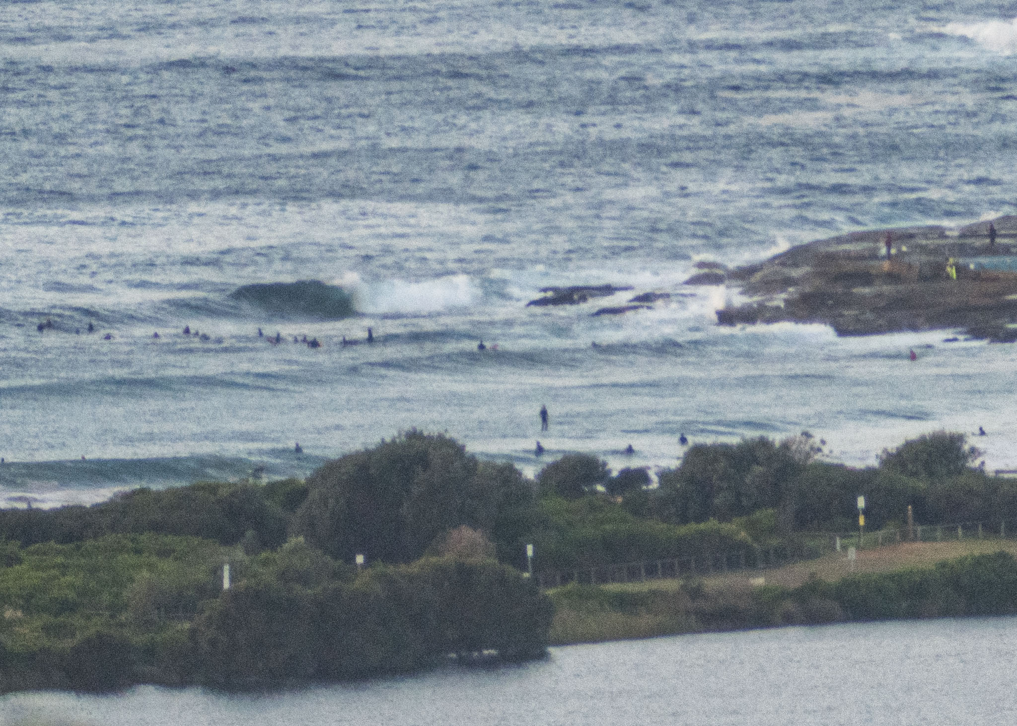
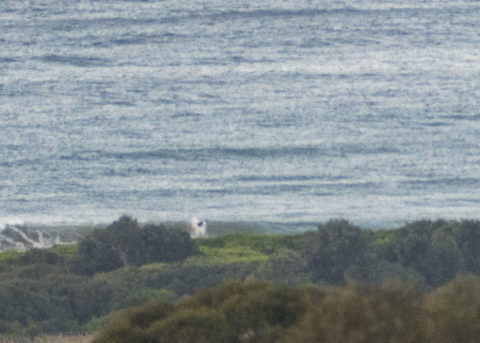
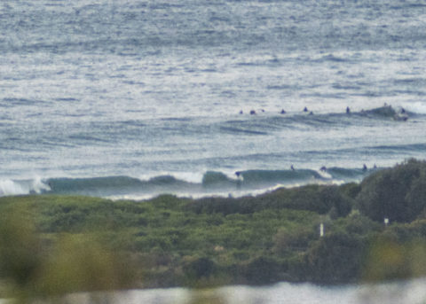
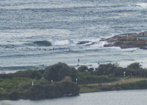
Lots of folks in the water at the point and along the beach – in spite of the chilly 9-10 kts of westerly wind. Sets looked to be into the shoulder high range, but conditions were lumpy and bumpy. Out at sea the swell at 0800 was 2 metres at 9 seconds from the SE. Yesterday’s rain has resulted in Beachwatch warning that pollution is possible at all beaches and likely at those with a lagoon outlet. Water temp is sitting on 20C and first tide of the day is a low at 0920. It’ll be back to high at 1540.
There’s a 50% chance of a shower today and the wind will come around to the south to SE during the morning.
As usual the mighty Goat has rolled out a fresh forecast for the weekend and next week. Check it out!
Have a great Friday!
By Order of the Federal Government, our beaches are open for exercise only – surfing, swimming, running and walking. Beaches will be closed due to unsafe conditions and or mass gatherings. All pools are closed at this time.
Please see some commonly asked questions about the beach closures.
If people are sunbaking or gathering on the beach, they will be asked to move along by our lifeguards, rangers or the police.
Due to the risk of Coronavirus and acting on direction of NSW and Federal Governments, Council has closed many public areas. View the latest updates on the evolving situation with Coronavirus (COVID-19).
In addition, it is against the law to gather with more than two people in public, except:
- for members of the same household
- where the gathering is essential for work or education
- If you go out, stay 1.5 metres away from other people at all times.
The rules are also now enforceable and Police are issuing fines of $1000 for individuals and $5000 for companies. These are difficult circumstances and we appreciate your patience and understanding.
Weather Situation
A high pressure system is centred over southeast Australia while a low pressure trough lingers off the northern New South Wales coast. This pattern is directing south to southeasterly winds across New South Wales waters which are expected to gradually tend more east to northeasterly into the new week as the high moves east to be centred over the Tasman Sea while cold fronts slip well to the south. The next cold front likely to affect New South Wales is expected towards the end of next week.
Forecast for Friday until midnight
Winds
Southerly 15 to 20 knots turning southeasterly in the morning.
Seas
1 to 1.5 metres.
Swell
Easterly 1.5 to 2 metres.
Weather
Partly cloudy. 50% chance of showers.
Saturday 16 May
Winds
Southeasterly 10 to 15 knots.
Seas
Around 1 metre, increasing to 1 to 1.5 metres offshore.
Swell
Easterly 1.5 metres.
Weather
Partly cloudy.
Sunday 17 May
Winds
Southeasterly about 10 knots.
Seas
Around 1 metre.
Swell
Easterly 1.5 metres.
Weather
Partly cloudy.


