Hello Friends,
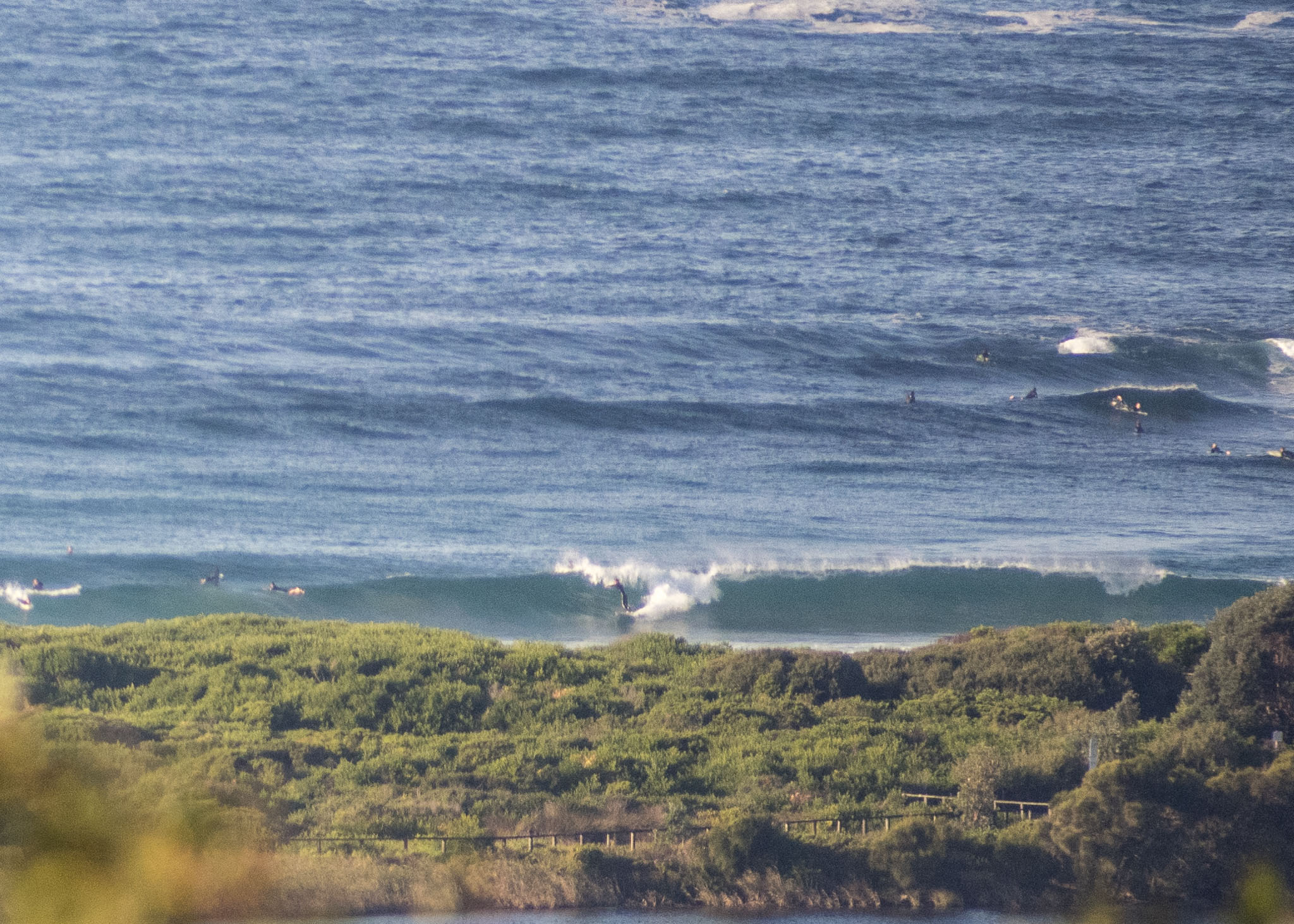
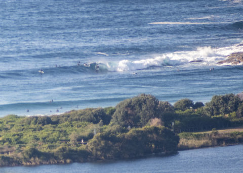
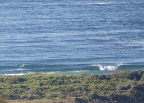
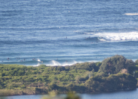
Dead south, 2.4 metres at 8-13 seconds meant some overhead sets for the numerous wavehunters in the water from the point and on up the beach. Wind was coming from the west a 9-10 kts with the odd higher gust. Wind is expected to go south soon, so earlier meant more options. It was sunny when I took the pictures around 0830 but the Bureau says there’s a 50% chance of a shower at some point. Tide was low at 0420 and will be back to high at 1020. Water is 20C which makes it noticably warmer than the predicted 17C air temp.
It looks as though the size will cog down tomorrow but stick around in the surfable range across the rest of the work week.
Go well!

Weather Situation
A high pressure system over the Bight currently extends a ridge into New South Wales, while a low pressure trough lies just off the coast. The trough is expected to decay early in the new week as the high makes its way to the Tasman Sea.
Forecast for Monday until midnight
Winds
Southerly 15 to 20 knots, reaching up to 25 knots in the late morning and early afternoon. Winds turning southeasterly 10 to 15 knots in the evening.
Seas
1 to 2 metres.
Swell
Southerly 1 to 1.5 metres.
Weather
Partly cloudy. 90% chance of showers. The chance of a thunderstorm this morning.
Tuesday 9 June
Winds
Southeasterly 10 to 15 knots becoming variable about 10 knots in the middle of the day.
Seas
Around 1 metre.
Swell
Southerly 1 to 1.5 metres.
Weather
Partly cloudy. 60% chance of showers.
Wednesday 10 June
Winds
North to northeasterly about 10 knots.
Seas
Below 1 metre.
Swell
Southerly around 1 metre.
Weather
Partly cloudy. 80% chance of showers.


