
Hello Friends,
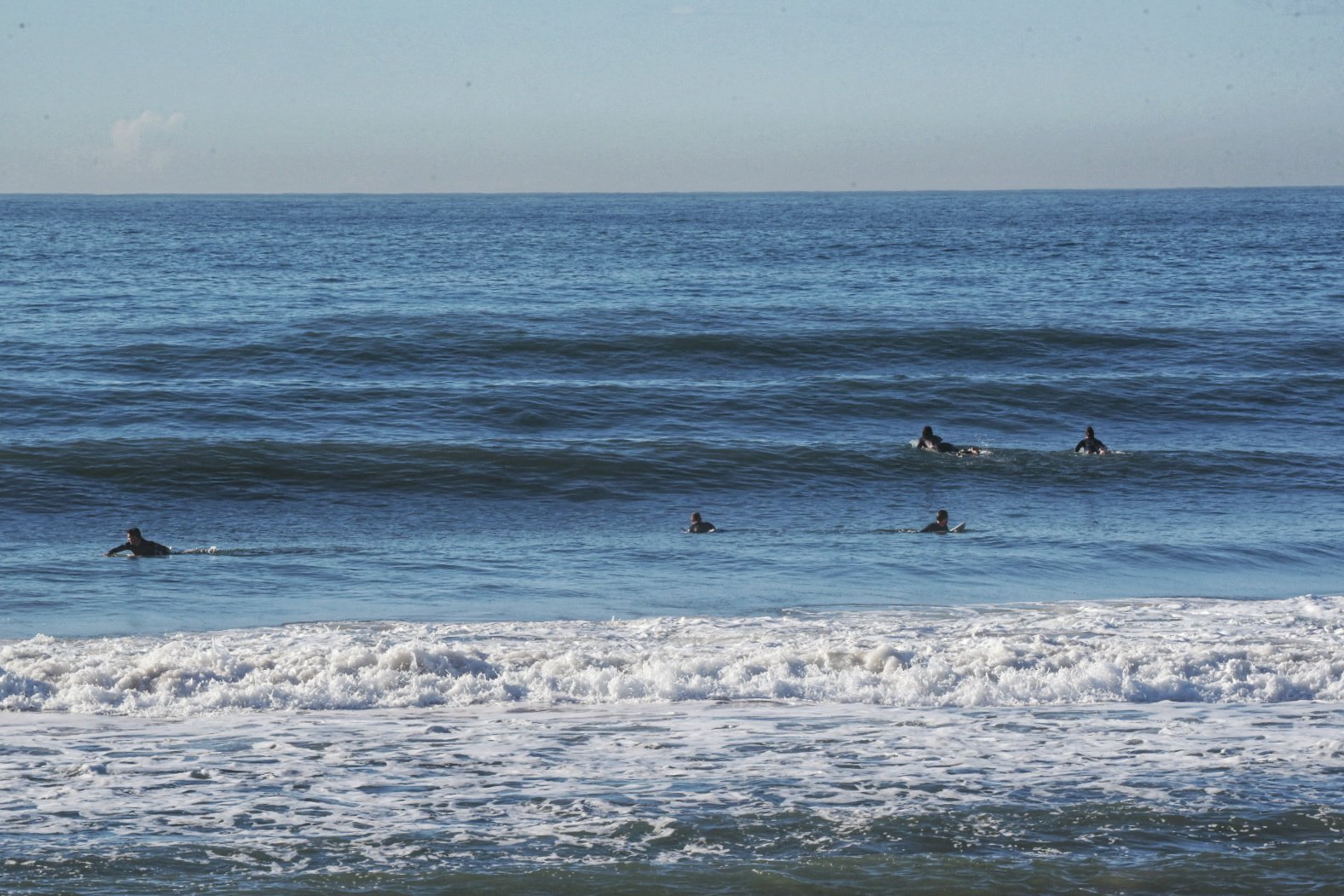
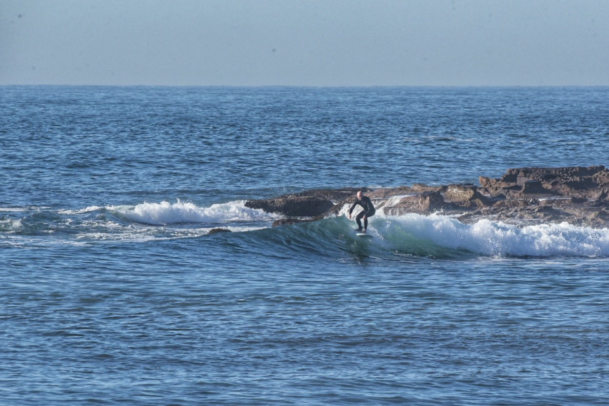
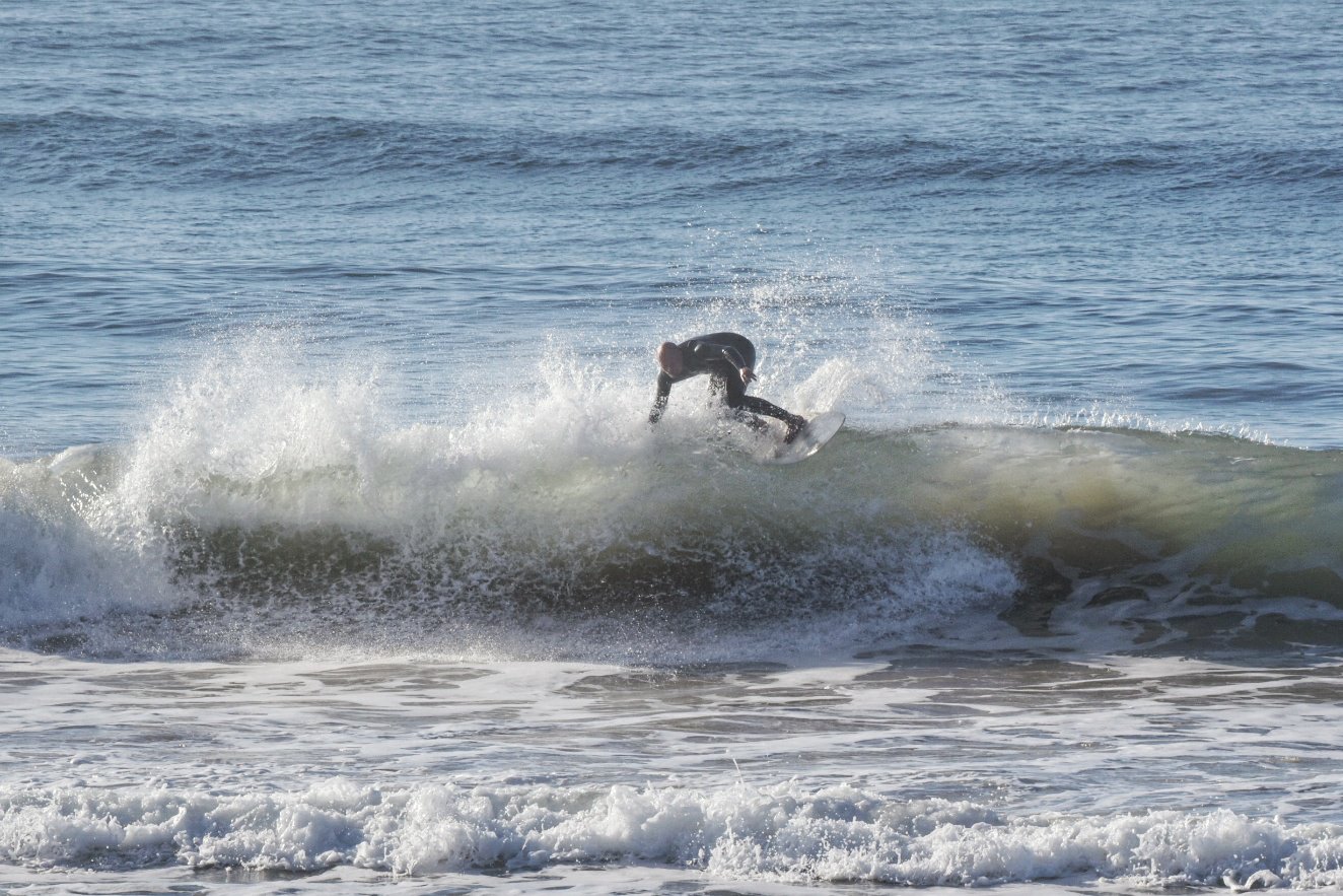
A beautiful, comparatively mild and nearly calm start to the day. Sadly the swell has run out of puff and while there are still some nice clean lines that look promising at first, they don’t really live up to the first impression. You’ll want your most bouyant surf tool for these conditions. Out at sea the swell is 1.2 metres at 10 seconds apart from the ESE. At Dee Why it was maybe waist high on the best ones. I imagine there could be the odd bomb into the chest high range, but the trend is toward flatness. Tide is low at 0850 and back to high at 1530.
Go well and do the mask thing in enclosed public spaces to help us all stay safe.
Weather Situation
Northerly winds will turn westerly and become light today as a trough crosses the coast. Winds will again turn northerly on Friday ahead of an approaching cold front. A low pressure system associated with the front will briefly situate itself off the New South Wales coast during Saturday, before quickly moving southwards on Sunday, bringing fresh to strong west to southwesterly change to most coastal parts over the weekend.
Forecast for Thursday until midnight
Winds
West to northwesterly about 10 knots becoming north to northeasterly in the early afternoon.
Seas
Below 1 metre.
Swell
Easterly around 1 metre.
Weather
Sunny.
Friday 14 August
Winds
Variable about 10 knots becoming northerly 10 to 15 knots in the late afternoon.
Seas
Below 1 metre.
Swell
Southerly below 1 metre.
Weather
Partly cloudy. 90% chance of showers. The chance of a thunderstorm offshore in the late afternoon and evening.
Saturday 15 August
Winds
Northwesterly 10 to 15 knots turning southwesterly during the morning.
Seas
Around 1 metre.
Swell
Northeasterly around 1 metre.
Weather
Partly cloudy. 70% chance of showers. The chance of a thunderstorm in the afternoon and evening.

