Hello Friends,
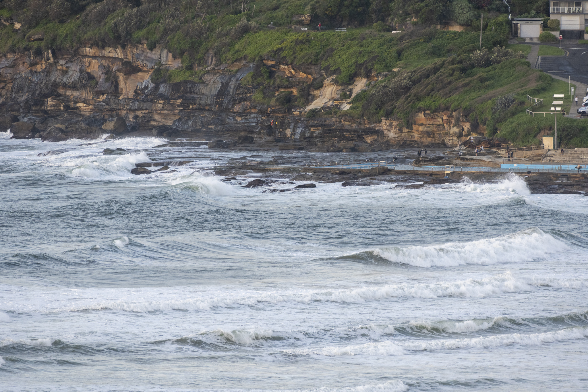
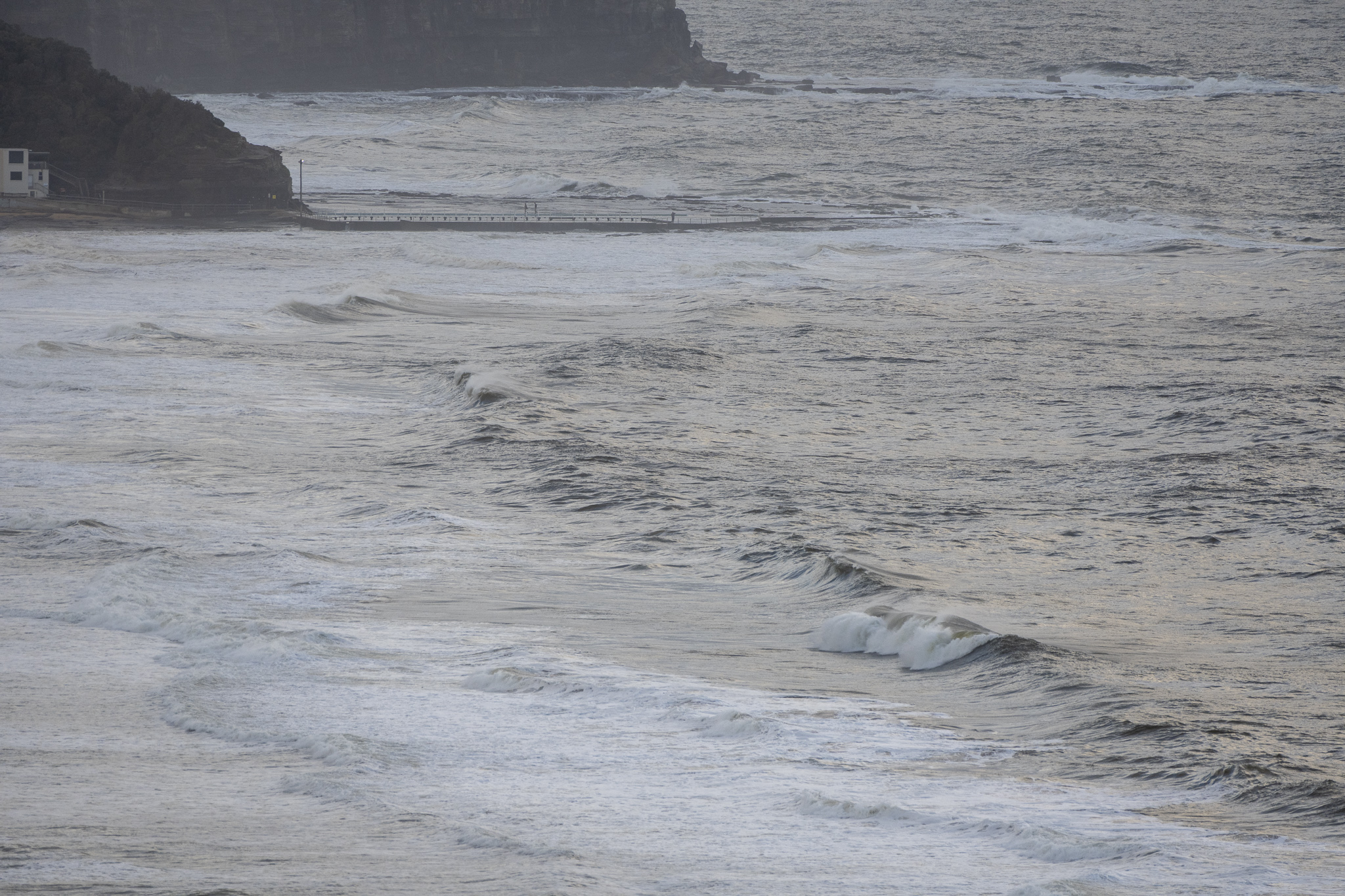
It’s a pass this morning. After days of onshores, this morning saw light ENE wind and a very junky 2.5 metre, 8-second east swell, with murky looking water. I didn’t see anyone in the water along the Collaroy-Narrabeen stretch nor at Dee Why to Longy. Yesterday Beachwatch was warning that pollution was likely along all Sydney beaches and I doubt very much that it’s changed significantly. So give it a pass I’d say.
Tomorrow’s early session might be noticably better at east swell magnets, but the water isn’t likely to have improved much.
Monday’s weather should be sunny and offshore with a couple of metres of 10 sec-ish east swell. In fact, that looks like being the day as far as weather’s concerned – and there should be some east swell in the two metre range.
Go well and stay safe!
Weather Situation
The showery, easterly flow eases as a high pressure system, centred over the southern Tasman Sea, slowly drifts eastwards to New Zealand by Monday. A weakening cold front will move northwards through southern and central coast waters on Monday before moving away east on Tuesday, with a ridge of high pressure building to the north coast in its wake.
Forecast for Saturday until midnight
- Winds
- Easterly 15 to 20 knots turning northeasterly during the afternoon and evening.
- Seas
- 1 to 1.5 metres.
- 1st Swell
- Easterly 1.5 to 2.5 metres.
- 2nd Swell
- Southerly 1 to 1.5 metres, tending southeasterly around 1 metre during the afternoon.
- Weather
- Partly cloudy. 80% chance of showers.
Sunday 10 April
- Winds
- East to northeasterly 10 to 15 knots decreasing to below 10 knots in the middle of the day.
- Seas
- Around 1 metre.
- Swell
- Easterly 2 metres.
- Weather
- 60% chance of showers in the morning. Mostly sunny afternoon.
Monday 11 April
- Winds
- Variable about 10 knots.
- Seas
- Below 0.5 metres.
- Swell
- Easterly 2 metres.
- Weather
- Mostly sunny.


