Hello Friends,
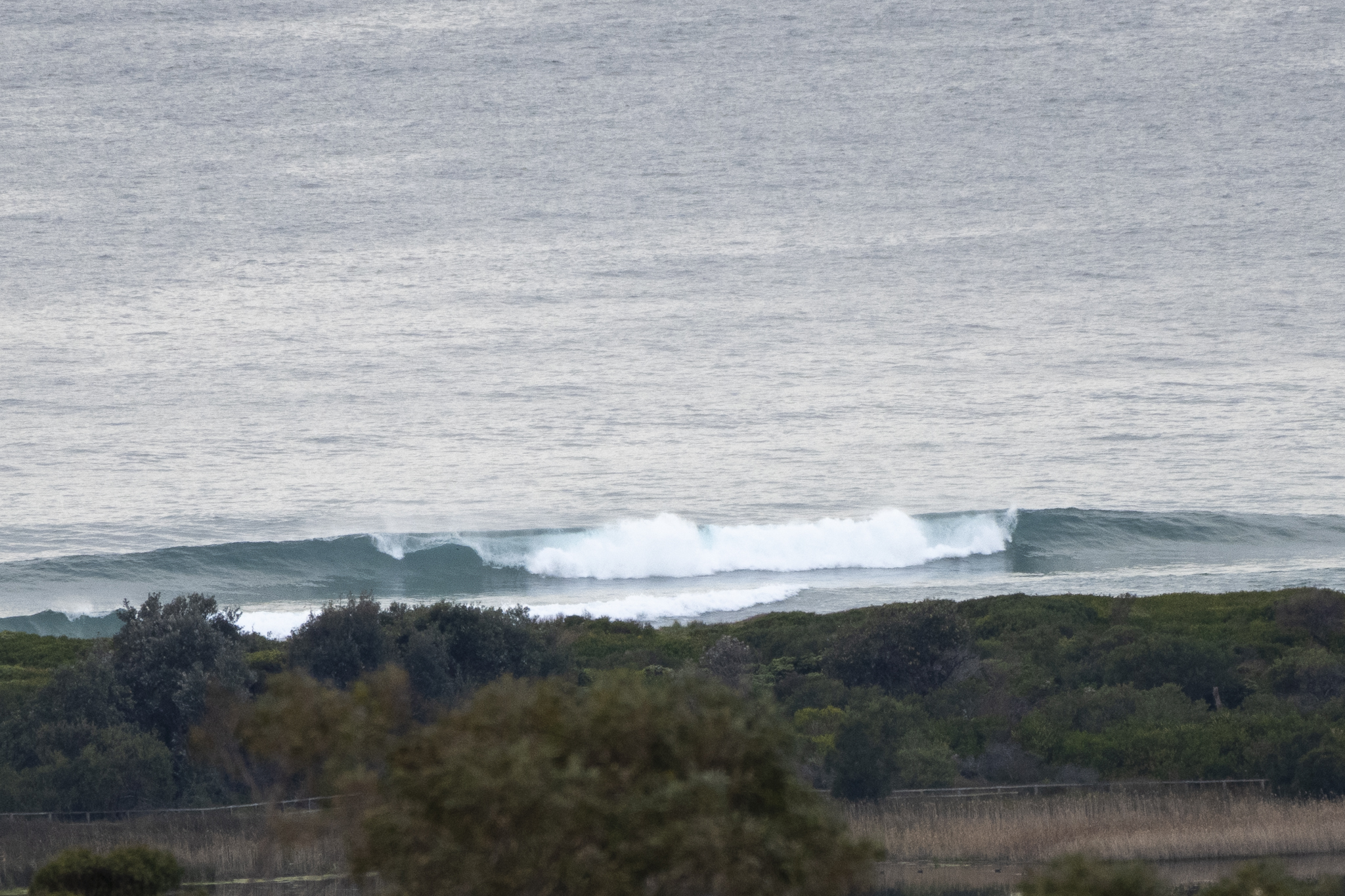
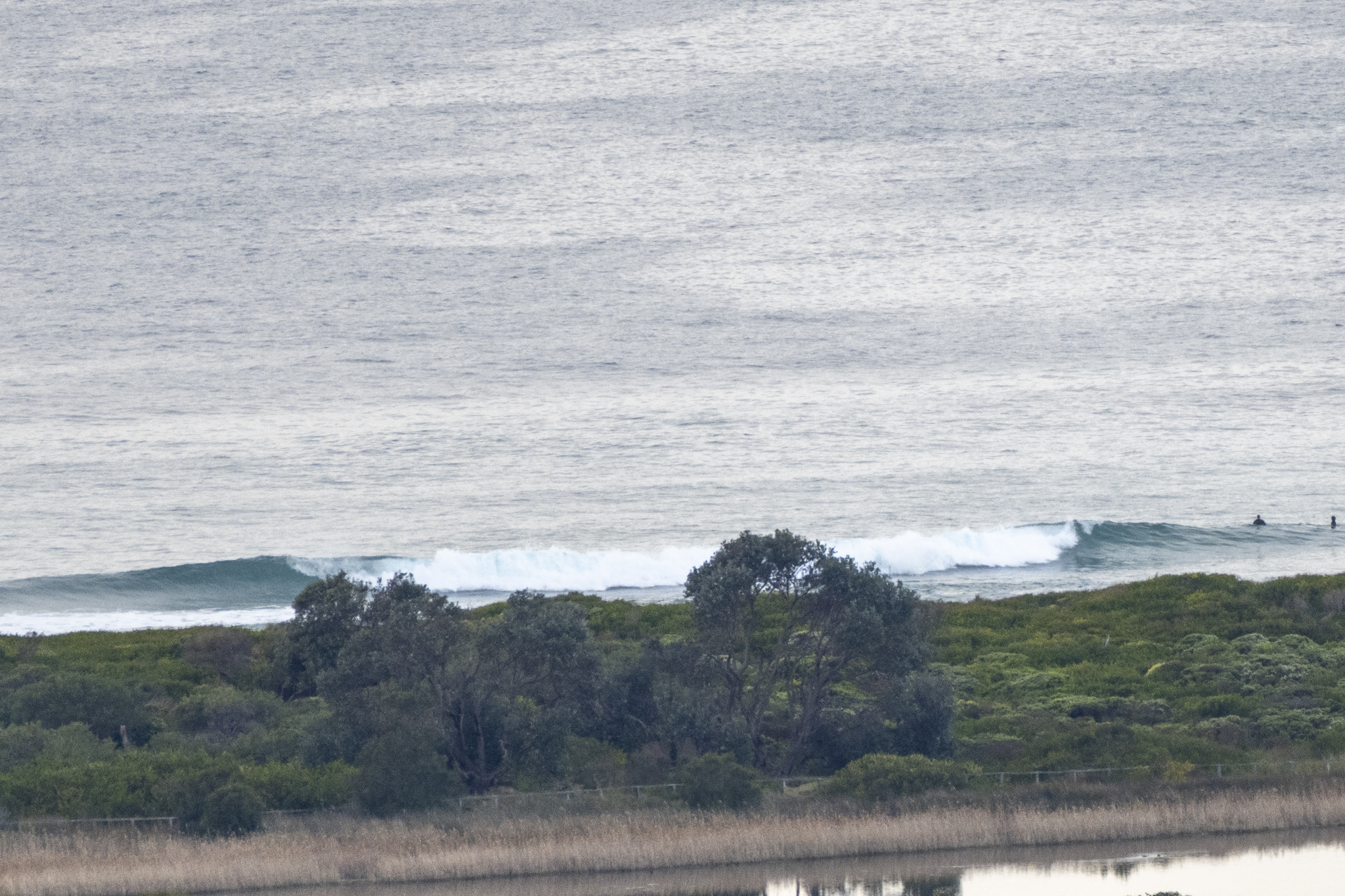
Smaller than I’d expected for this morning, but there’s still enough energy to produce the odd waist high set if you’re in the right spot along the beach north from the club. Wind was light NW (7-8 kt) at 0730. The longer period swell of yesterday has turned into a metre of SE swell at 9-10 sec. Tide was low at 0640 and will be back to high at 1310. Ocean’s clean and on 18C.
Outlook is for the conditions to continue along at the current intensity today and then tomorrow the models tell us to expect the swell to bump up from the east. But weather is expected to be lightly showery with it. Beyond that, the weekend’s not looking too bad…
Have yourself a great day
Weather Situation
A broad ridge of high pressure currently sits across eastern NSW and will gradually move east allowing winds to tend north to northwesterly. Winds will freshen today ahead of a cold front, which will bring a south to southwesterly change on Friday.
Forecast for Thursday until midnight
- Winds
- North to northwesterly about 10 knots increasing to 10 to 15 knots in the morning. Winds reaching up to 20 knots offshore in the late evening.
- Seas
- Around 1 metre.
- 1st Swell
- Southerly around 1 metre.
- 2nd Swell
- Easterly around 1 metre.
- Weather
- Partly cloudy.
Friday 19 August
- Winds
- Northwesterly 15 to 20 knots turning south to southwesterly 10 to 15 knots in the early afternoon.
- Seas
- 1 to 1.5 metres.
- 1st Swell
- Southerly below 1 metre, increasing to 1 to 1.5 metres later in the evening.
- 2nd Swell
- Easterly around 1 metre, increasing to 1 to 1.5 metres during the morning.
- Weather
- Cloudy. 70% chance of showers. The chance of a thunderstorm from the late morning.
Saturday 20 August
- Winds
- West to southwesterly 15 to 20 knots becoming southwesterly 20 to 30 knots during the evening.
- Seas
- 1 to 1.5 metres.
- 1st Swell
- Southerly 1 to 1.5 metres, decreasing to around 1 metre during the afternoon.
- 2nd Swell
- Easterly 1.5 metres.
- Weather
- Partly cloudy. 50% chance of showers.


