Hello Friends,
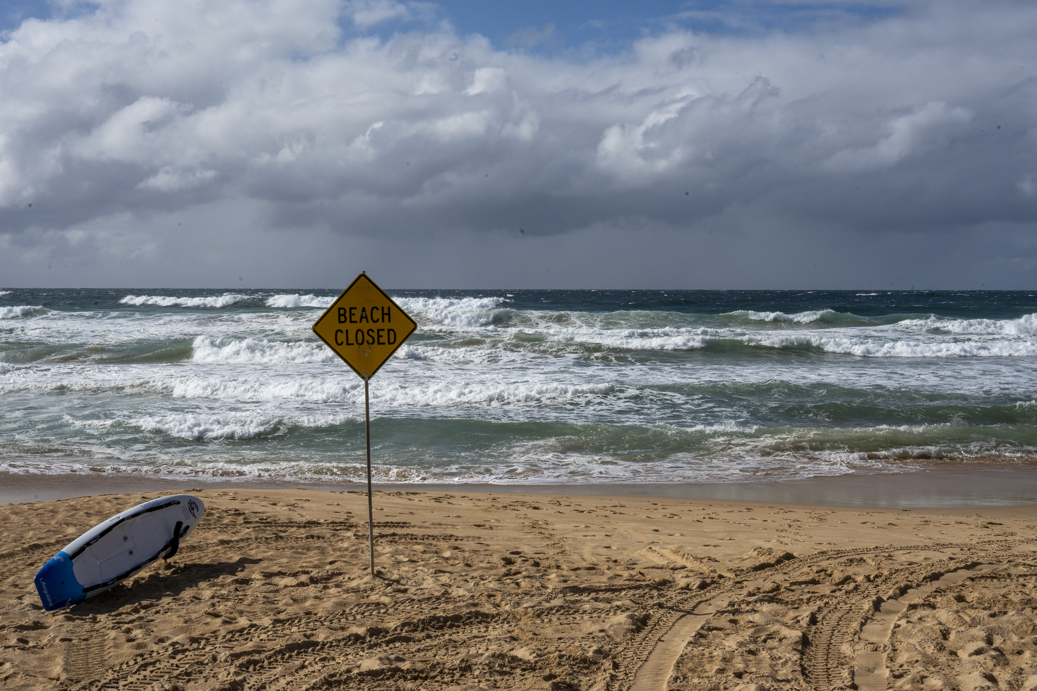
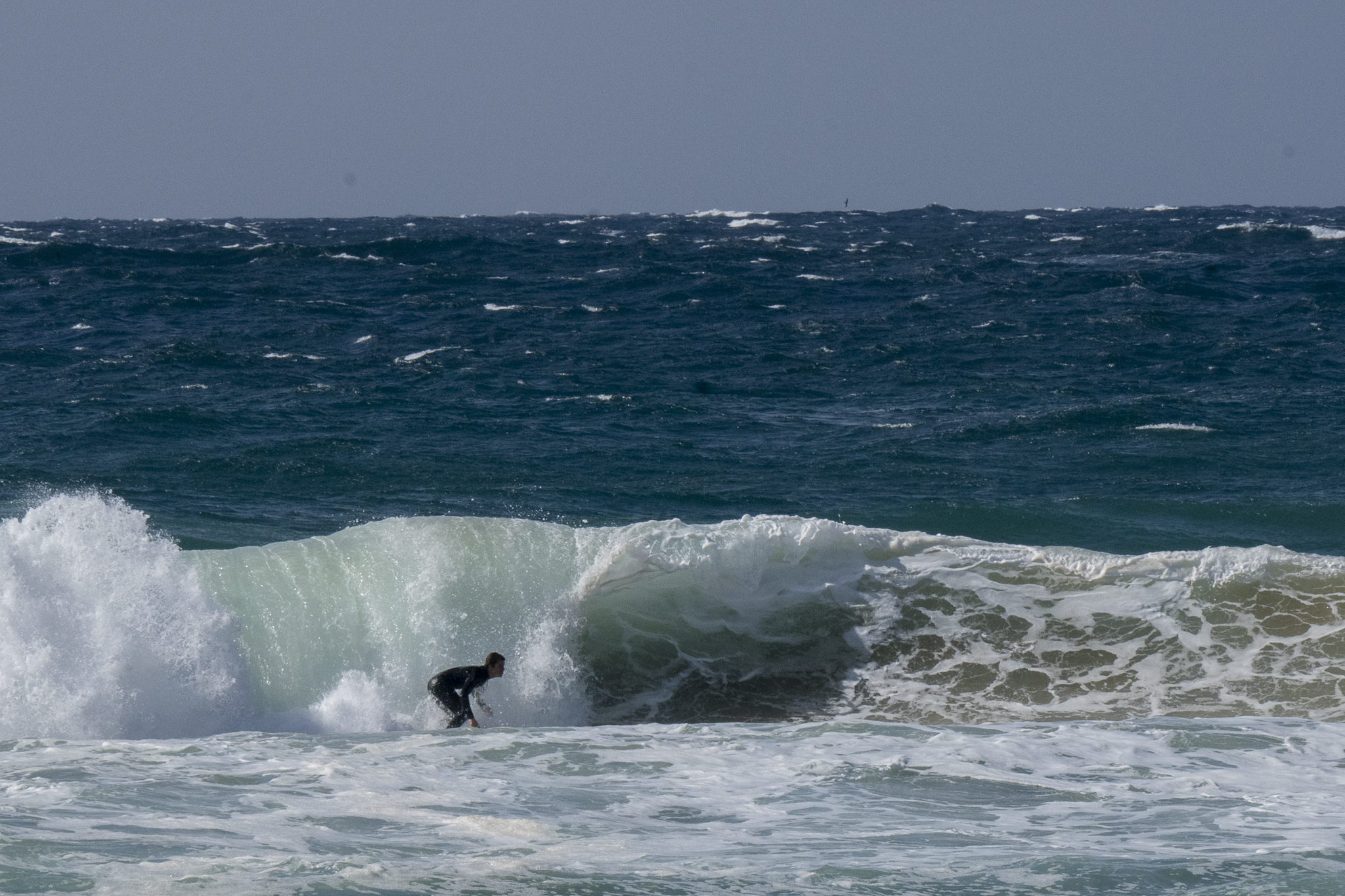
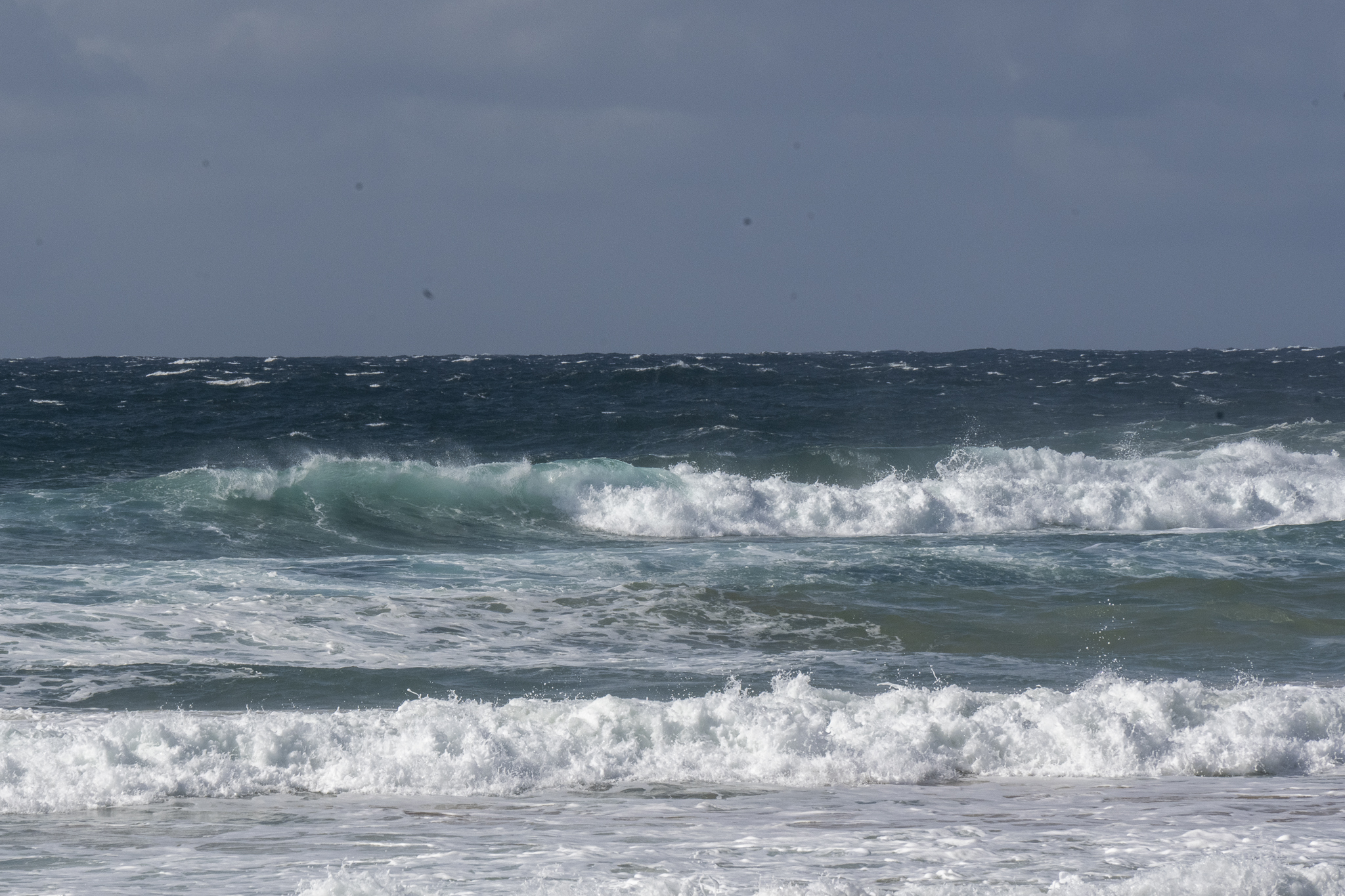
Gale force southerly under clearing skies and 3 metres of 8-sec SE swell meant it was a morning for only the keenest of the keen.
Weather Situation
Gale force southerly winds and hazardous surf conditions with large and powerful waves are developing along the northern half of the coast as a low off the north coast is deepening. Winds will then gradually ease during Monday and Tuesday as the low moves away to the east.
Forecast for Sunday until midnight
Strong Wind Warning for Sunday for Sydney Coast
- Winds
- South to southeasterly 20 to 30 knots, decreasing to 20 to 25 knots in the middle of the day. Inshore winds further decreasing to 15 to 20 knots in the late evening.
- Seas
- 1.5 to 2.5 metres.
- 1st Swell
- Southeasterly 2 metres, decreasing to 1.5 metres around midday, then increasing to 2 to 2.5 metres during the afternoon.
- 2nd Swell
- Easterly below 1 metre, increasing to 1 to 1.5 metres around midday, then decreasing to around 1 metre during the afternoon.
- Weather
- Partly cloudy.
Monday 5 September
- Winds
- South to southwesterly 20 to 25 knots. Inshore winds tending 15 to 20 knots early in the morning.
- Seas
- 1.5 metres, increasing to 1.5 to 2 metres inshore around midday.
- 1st Swell
- Southeasterly 2 to 2.5 metres, tending southerly 2 to 2.5 metres around midday.
- 2nd Swell
- Easterly around 1 metre.
- Weather
- Partly cloudy. 80% chance of showers.
Tuesday 6 September
- Winds
- Southerly 15 to 25 knots decreasing to about 10 knots during the evening.
- Seas
- 1 to 2 metres, decreasing to 1 metre during the afternoon or evening.
- 1st Swell
- Southerly 2.5 to 3 metres.
- 2nd Swell
- Easterly around 1 metre.
- Weather
- Partly cloudy. 80% chance of showers.


