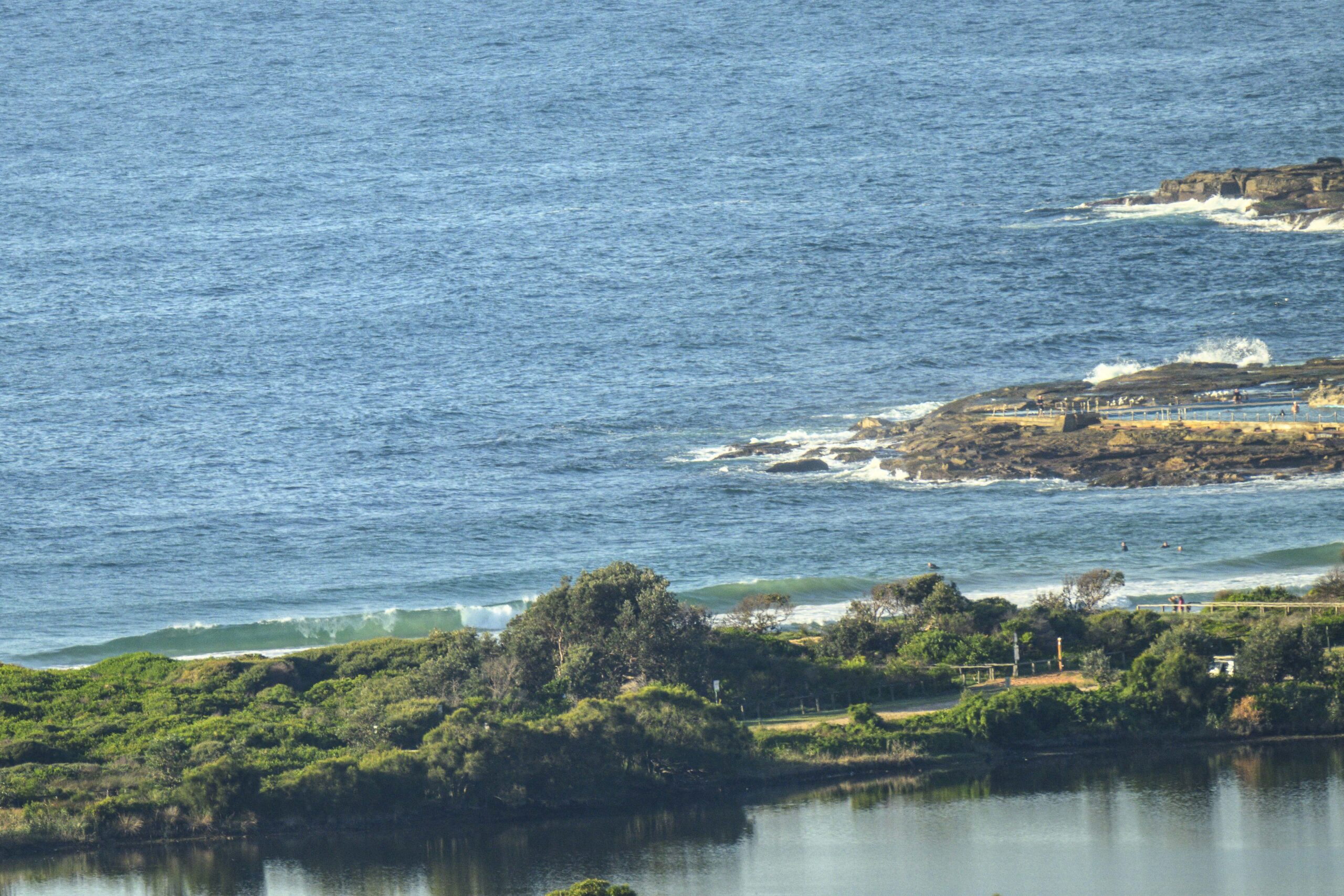
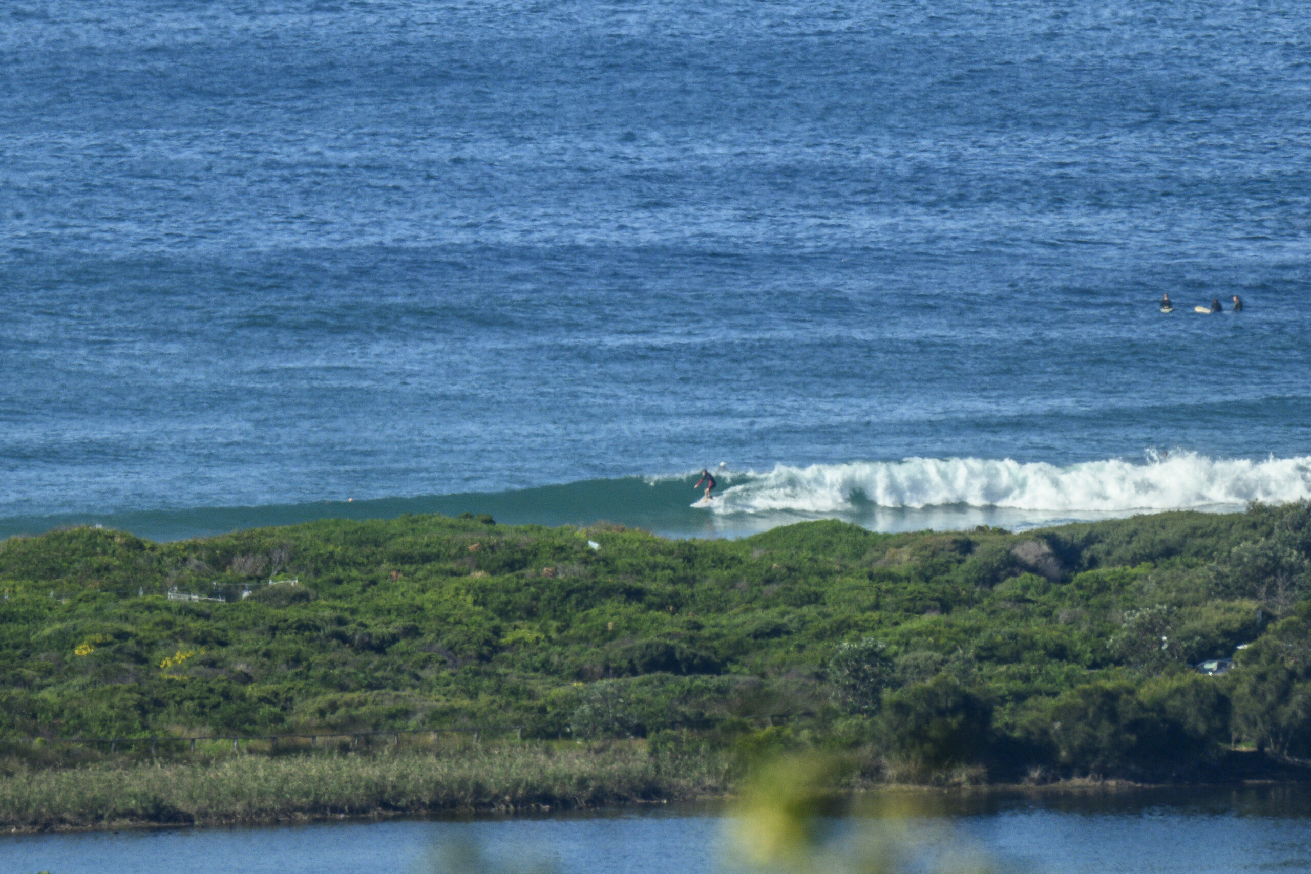
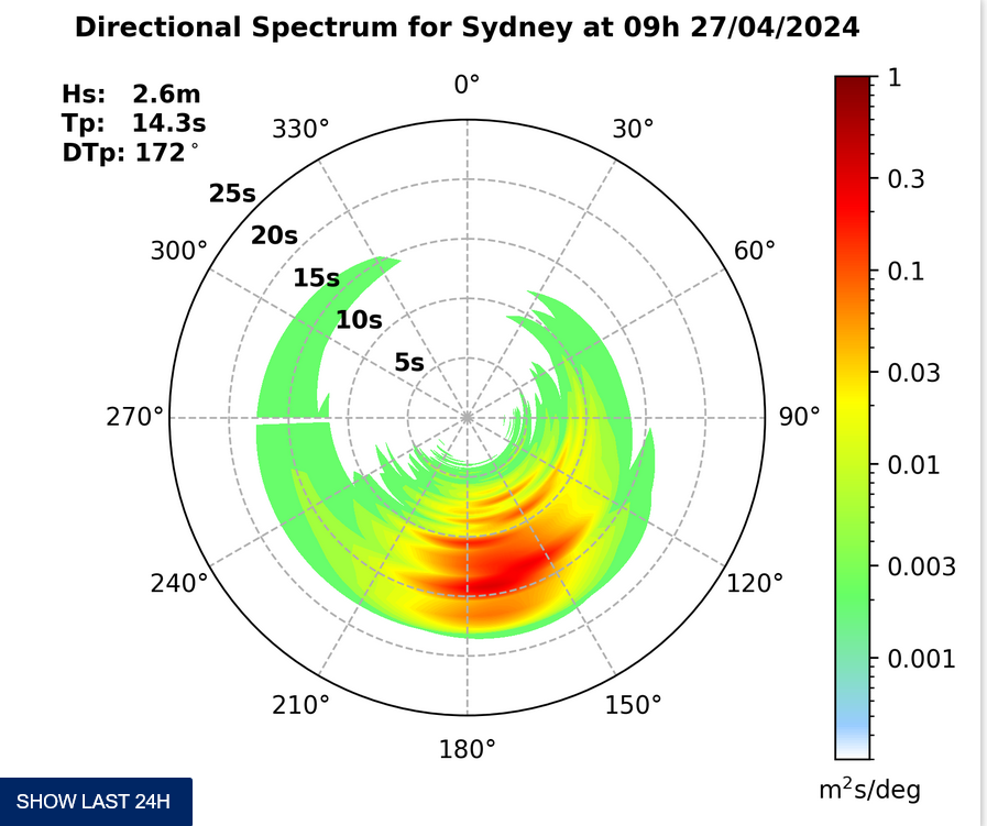
Surf forecast issued Friday 12 December 2024: Seven day outlook for Sydney
TG woke up with a start..
What day is it?… Light onshore, possible shower or two, sunshine, humid, onshore breeze, smallish to medium waves, warm water, This humid weather is very nice for chillaxing in the shade with the gentle breeze… and promptly fell back asleep before he knew what day it was.
Saturday: say around 1 metre or a bit more East North East
Sunday: starting to come up with southerly wind at places open to southerly wind and waves
Monday: in the 1-2 metre range South East
Tuesday: ditto East South East
Wednesday: ditto East
Thursday: hmm offshore expected early, ditto North East
Friday: ditto North East.
Just chillax..
TG.
Up in the Air

http://www.bom.gov.au/australia/charts/4day_col.shtml


Winds
https://www.windy.com/-33.850/151.220?-34.373,151.221,8
Down in the Sea
Water Temp is a coool 25. 🙂

Tides
https://www.nsw.gov.au/sites/default/files/2023-06/nsw_tides_2023%E2%80%932024.pdf
Weather from the Bureau
Friday
- Summary

- Mostly clear.
- Chance of any rain: 10%

Sydney area
Partly cloudy. Slight chance of a shower, mainly in the west, clearing in the evening. Winds east to northeasterly 15 to 20 km/h becoming light in the late evening.
Sun protection recommended from 8:50 am to 5:20 pm, UV Index predicted to reach 12 [Extreme]
Saturday 13 January
- Summary

- Min 20
- Max 30
- Possible late shower.
- Possible rainfall: 0 to 1 mm
- Chance of any rain: 40%

Sydney area
The chance of fog in the outer west in the early morning. Mostly sunny day. Medium chance of showers at night. Light winds becoming east to northeasterly 15 to 25 km/h in the middle of the day then becoming light in the late evening.
Fire Danger – Moderate
Sun protection recommended from 8:50 am to 5:10 pm, UV Index predicted to reach 12 [Extreme]
Sunday 14 January
- Summary

- Min 21
- Max 27
- Showers increasing.
- Possible rainfall: 2 to 10 mm
- Chance of any rain: 90%

Sydney area
Partly cloudy. Very high chance of showers, most likely in the afternoon and evening. The chance of a thunderstorm. Winds southerly 20 to 30 km/h turning southeasterly 15 to 25 km/h in the evening.
Sun protection recommended from 8:50 am to 5:10 pm, UV Index predicted to reach 12 [Extreme]
Monday 15 January
- Summary

- Min 19
- Max 24
- Showers.
- Possible rainfall: 2 to 20 mm
- Chance of any rain: 90%

Sydney area
Cloudy. Very high chance of showers. Winds southeasterly 20 to 30 km/h tending easterly 15 to 25 km/h during the evening.
Sun protection recommended from 8:50 am to 5:10 pm, UV Index predicted to reach 12 [Extreme]
Tuesday 16 January
- Summary

- Min 20
- Max 26
- Shower or two.
- Possible rainfall: 0 to 4 mm
- Chance of any rain: 70%

Sydney area
Cloudy. High chance of showers, most likely in the morning and afternoon. Winds easterly 15 to 25 km/h turning northeasterly during the day.
Wednesday 17 January
- Summary

- Min 20
- Max 29
- Showers.
- Possible rainfall: 0 to 8 mm
- Chance of any rain: 80%

Sydney area
Partly cloudy. High chance of showers. Winds northerly 15 to 25 km/h tending southeast to southwesterly 15 to 20 km/h later.
Thursday 18 January
- Summary

- Min 20
- Max 28
- Shower or two.
- Possible rainfall: 0 to 2 mm
- Chance of any rain: 60%

Sydney area
Partly cloudy. Medium chance of showers, most likely later in the day. Winds west to southwesterly 15 to 20 km/h turning south to southeasterly 20 to 30 km/h during the day.
Friday 19 January
- Summary

- Min 19
- Max 27
- Shower or two.
- Possible rainfall: 0 to 1 mm
- Chance of any rain: 50%

Sydney area
Partly cloudy. Medium chance of showers. Winds southwesterly 15 to 20 km/h turning south to southeasterly 15 to 25 km/h during the day.


