Hello Friends,
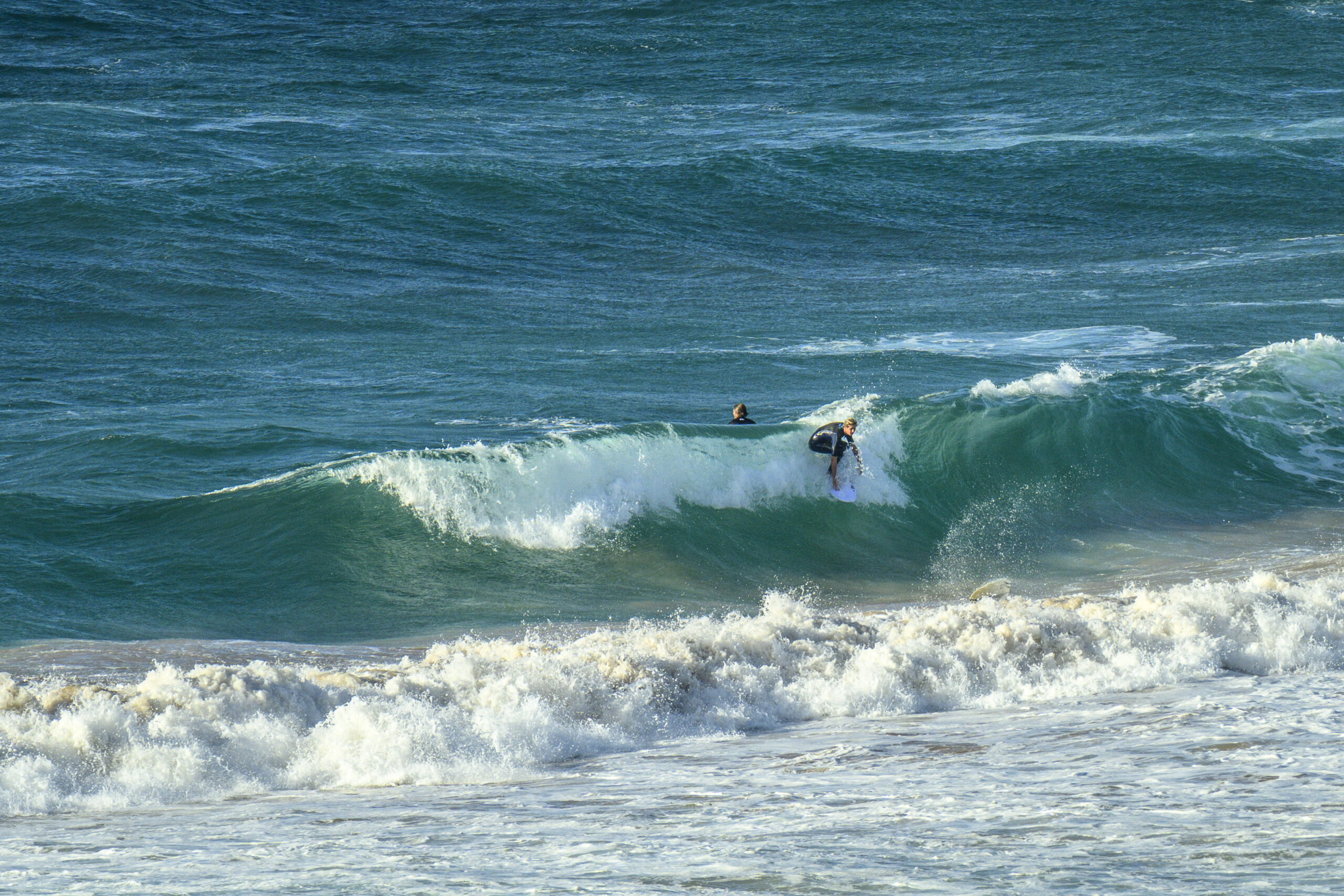
Mostly sunny skies on Friday morning with 14-23 kts of SE wind battering a 2 metre, 7-second SSE wind swell. The only people I saw in the water were three super keen types trying to jag something from the dumpy shories in front of the surf club. The swell period is too short to refract around into the protected corners, so unless you’re up for junky, messy, onshore waves, today’s not looking the best for a surf.
From the shape of the weather forecast, we’re in for showery, cloudy weather for the coming week. As usual, the Mighty Goat has examined the surf prospects for the weekend and beyond.
Go well!
Weather Situation
A high pressure system centred in the Southern Ocean maintains a ridge which will build over the weekend. The high is expected to move east, reaching Tasmania by Saturday. There is a chance of a trough forming along central parts of the coast on Sunday as the high moves into the Tasman Sea.
Forecast for Friday until midnight
Strong Wind Warning for Friday for Sydney Coast
- Winds
- Southerly 20 to 25 knots, reaching up to 30 knots offshore early in the morning. Winds turning southeasterly 15 to 25 knots early in the morning.
- Seas
- 1.5 to 2.5 metres, decreasing to 1.5 metres during the afternoon.
- 1st Swell
- Southerly 1.5 to 2 metres, tending southeasterly 2 to 2.5 metres around midday.
- 2nd Swell
- Northeasterly around 1 metre.
- Weather
- Partly cloudy. 50% chance of showers.
Saturday 16 March
- Winds
- Southeasterly 10 to 15 knots turning easterly in the late morning.
- Seas
- Around 1 metre.
- Swell
- Southeasterly 1.5 to 2 metres.
- Weather
- Partly cloudy. 70% chance of showers.
Sunday 17 March
- Winds
- Northeasterly 10 to 15 knots.
- Seas
- Below 1 metre.
- Swell
- Southeasterly 1.5 metres inshore, increasing to 1.5 to 2 metres offshore.
- Weather
- Partly cloudy. 90% chance of showers. The chance of a thunderstorm.


