Hello Friends,
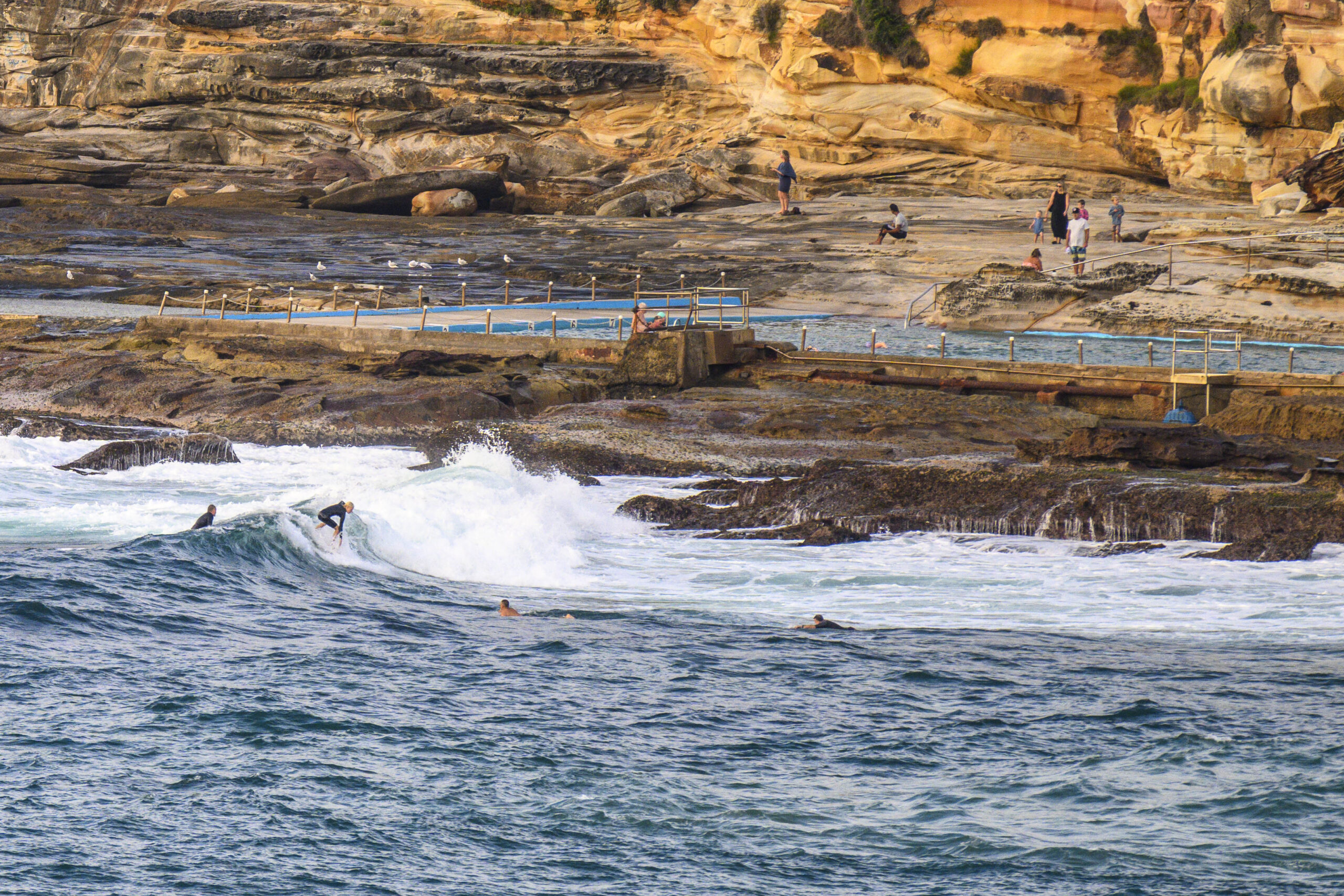
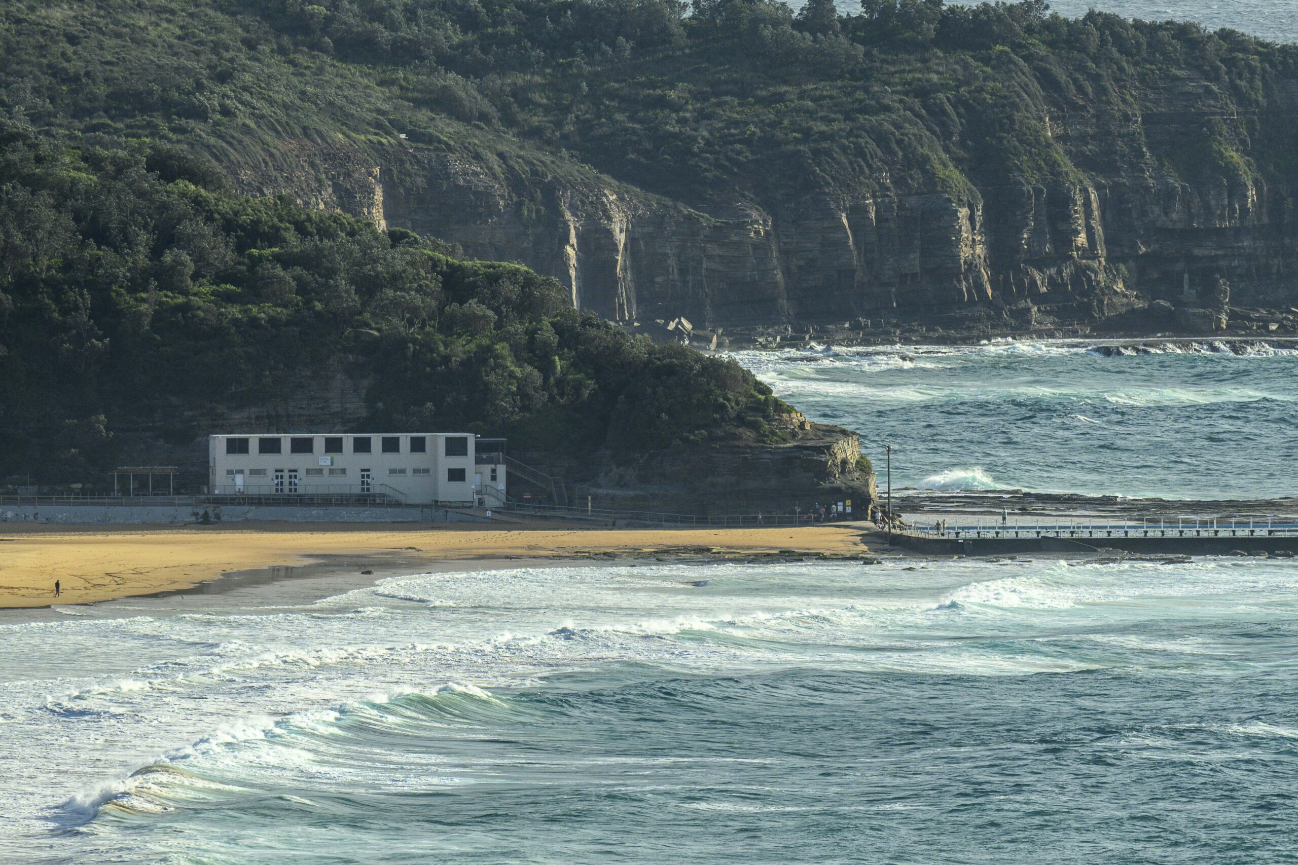
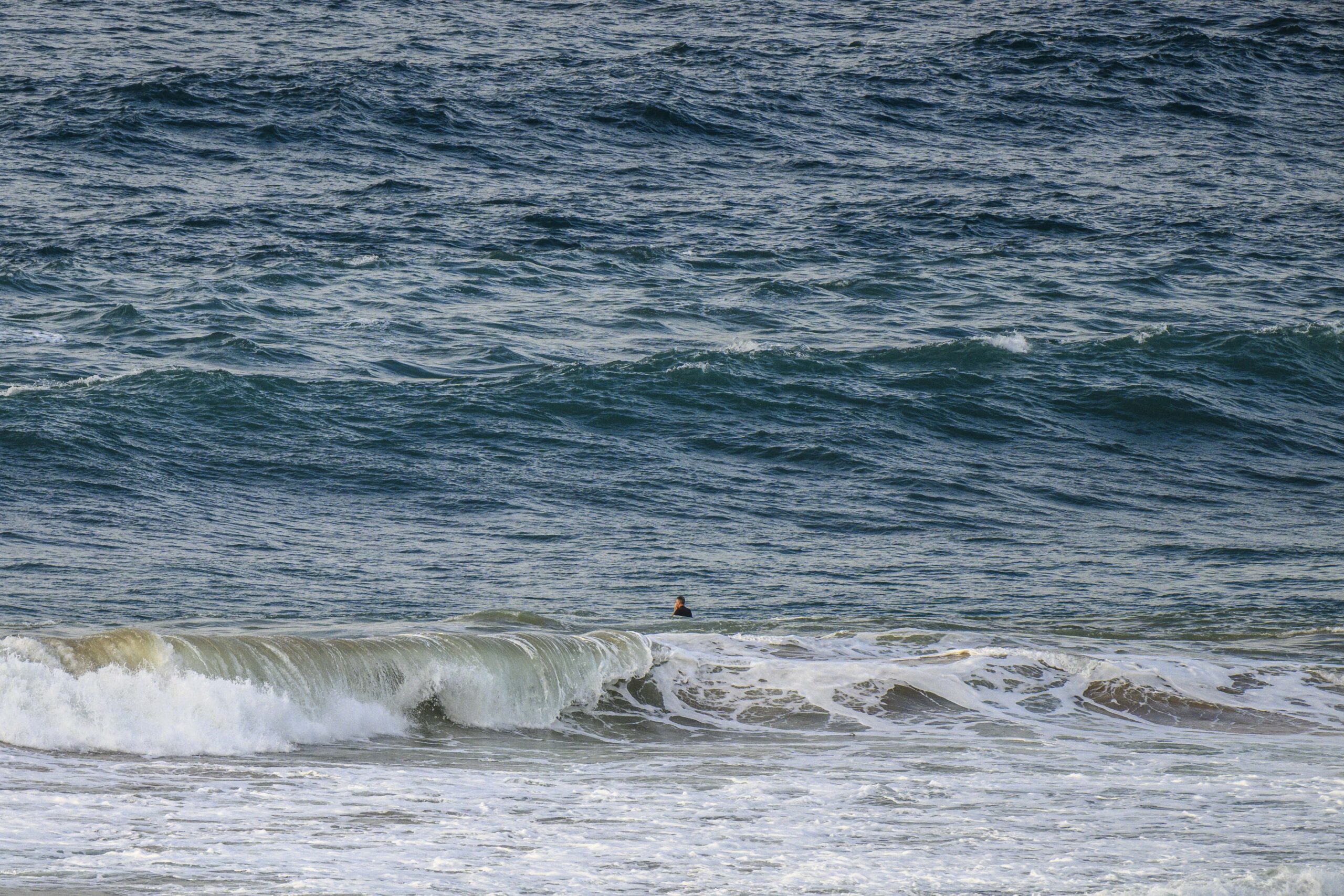
24+ hours of SE wind has taken its toll on surf options. There are shoulder high waves at the best exposures, but as you can see from the pics, the quality is pretty ordinary. The Bureau says the wind should move around to the NE this afternoon, so maybe, just possibly, the protected north corners will clean up enough to make it worth considering. That said, the Bureau’s also predicting that the 2 metre 9-second south swell will also fade as the day goes along.
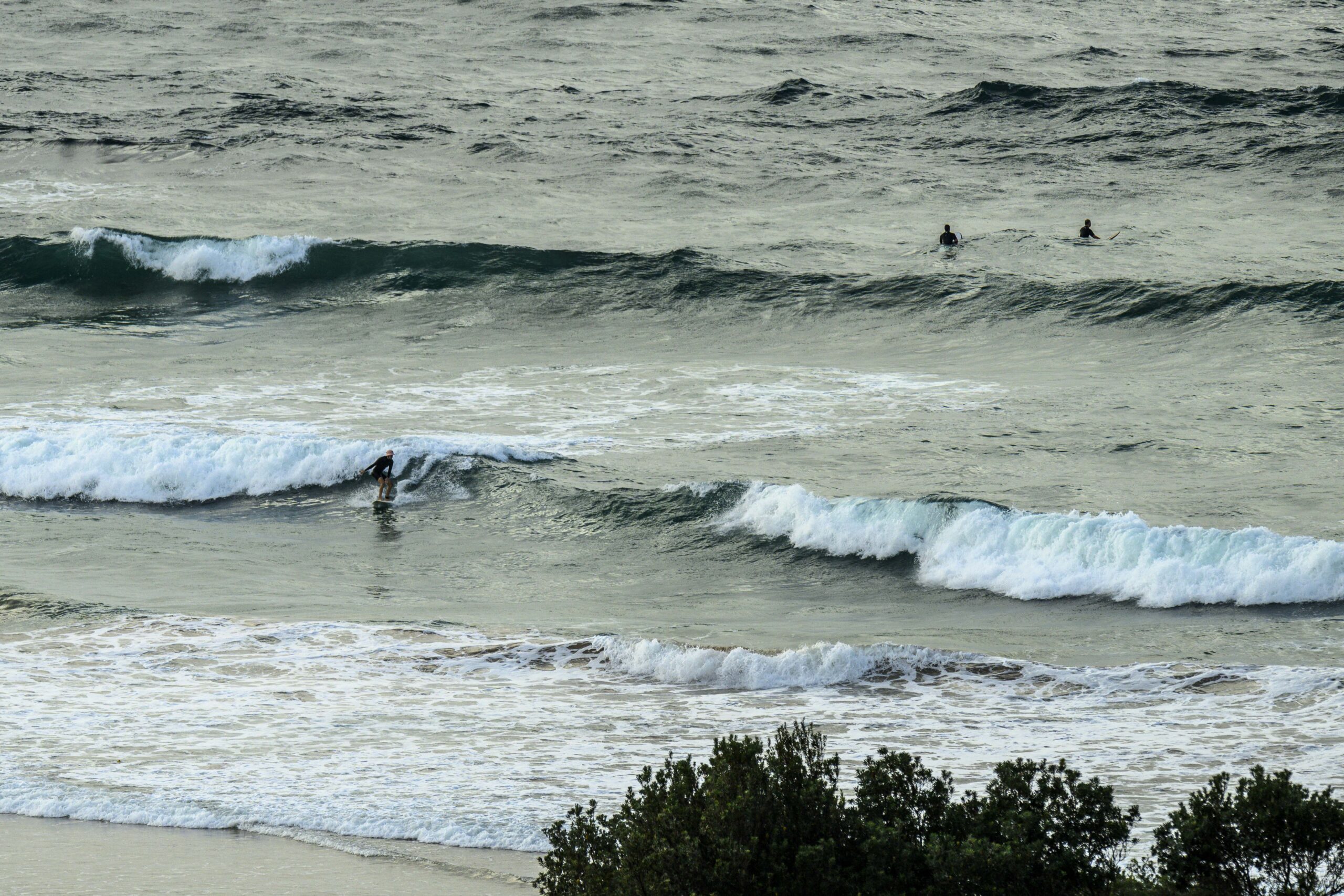
Tomorrow things might actually be okay for the morning session as we get a mix of shortish period east and south swells along with light wind for the early. There’s an 80% chance of showers though, which means it’ll probably be more grey than not. Showery weather is set to continue pretty much all week. And, if the more hopeful predictions are right, the front half of the week could see waves of some sort for the morning sessions – with Monday possibly getting a long period south pulse to keep things interesting. Right now it looks kinda like waves all week. As usual, the wind will be the key quality determinant.
Have a great Saturday!
Weather Situation
A high pressure system centred over Tasmania extends a ridge along the NSW coast while a trough deepens in the west. During the weekend the high moves into the Tasman Sea with winds tending northeasterly again from Sunday. The next trough and southerly change can be expected to move northward across the coastal waters during the middle of next week.
Forecast for Saturday until midnight
- Winds
- East to southeasterly 10 to 15 knots tending east to northeasterly during the afternoon and evening.
- Seas
- Below 1 metre.
- Swell
- Southeasterly 1.5 to 2 metres, decreasing to 1.5 metres by early evening.
- Weather
- Partly cloudy. 50% chance of showers.
Sunday 17 March
- Winds
- Northeasterly 10 to 15 knots, reaching 15 to 20 knots in the late evening.
- Seas
- Around 1 metre.
- 1st Swell
- Southeasterly 1.5 metres, tending southerly 1 to 1.5 metres during the morning, then decreasing to around 1 metre around midday.
- 2nd Swell
- Easterly around 1 metre.
- Weather
- Partly cloudy. 80% chance of showers. The chance of a thunderstorm offshore.
- Caution
- Surf conditions may be more powerful than they appear and are expected to be hazardous for coastal activities such as crossing bars by boat and rock fishing.
Monday 18 March
- Winds
- Northeasterly 15 to 20 knots increasing to 15 to 25 knots during the evening.
- Seas
- Around 1 metre, increasing to 1.5 metres offshore during the evening.
- 1st Swell
- Southerly around 1 metre.
- 2nd Swell
- Northeasterly around 1 metre.
- Weather
- Partly cloudy. 80% chance of showers. The chance of a thunderstorm.


