Hello Friends,
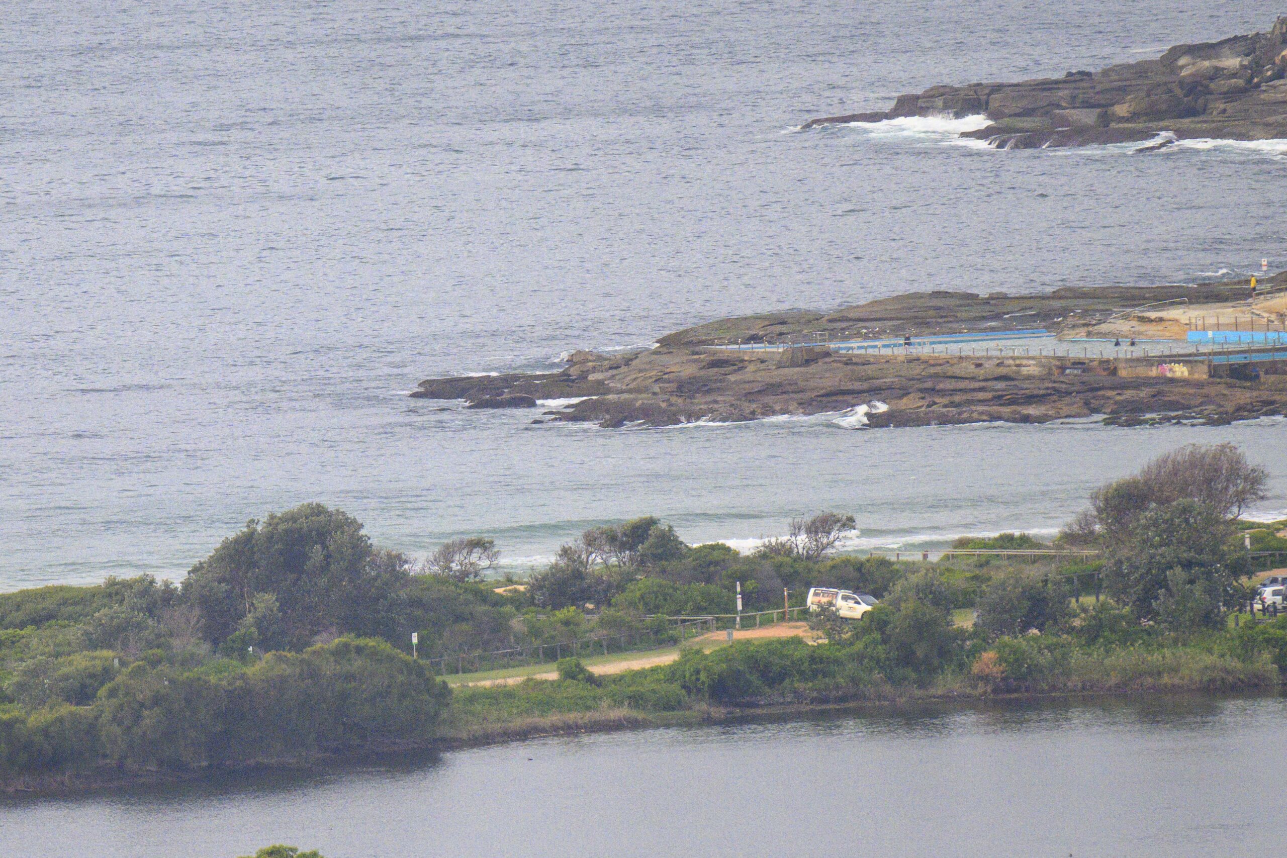
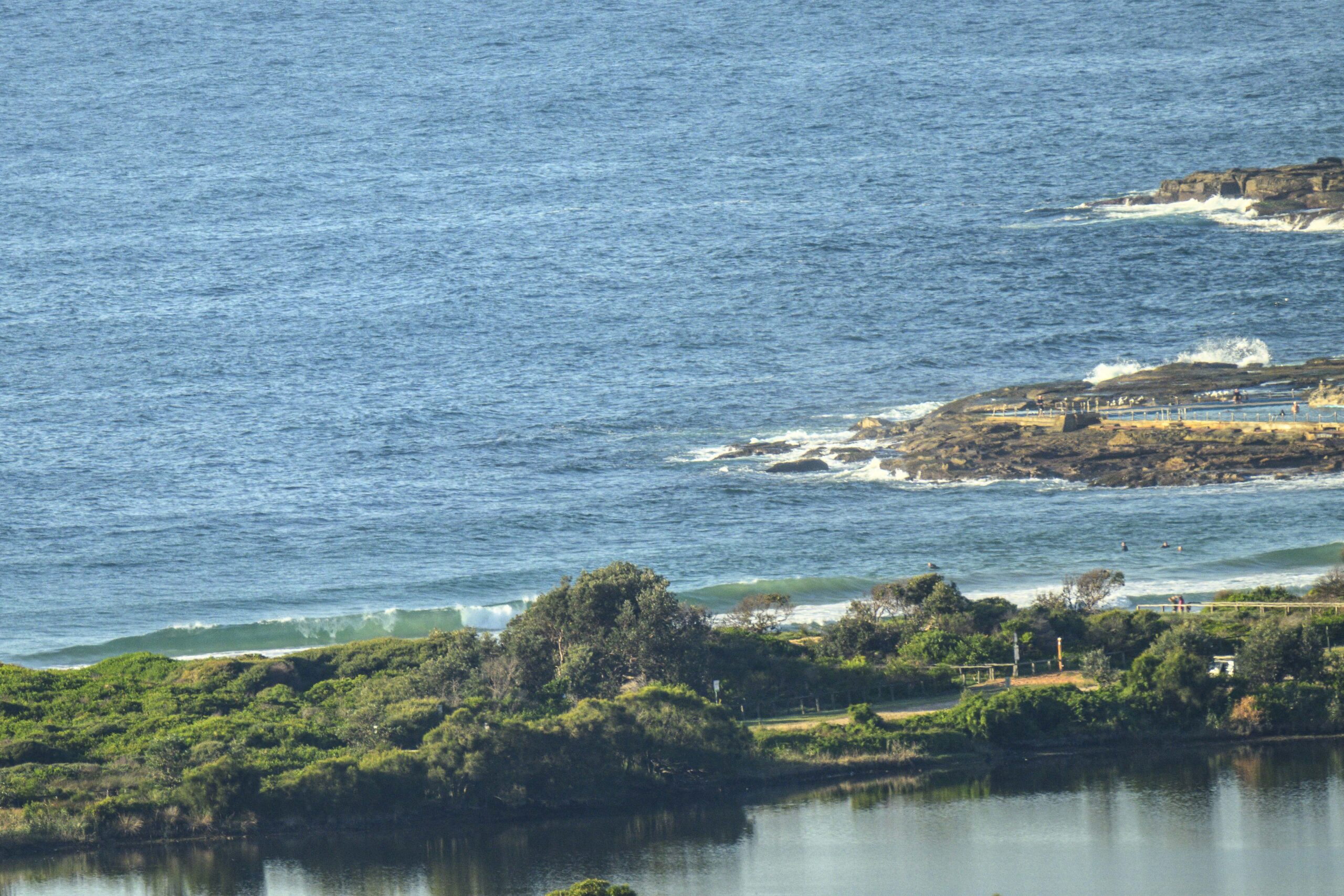
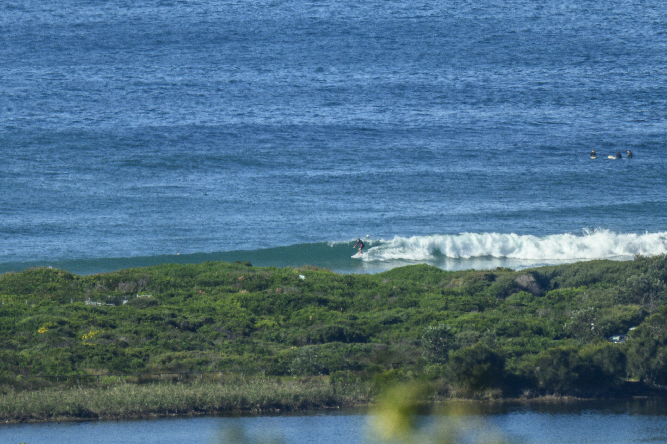
Late yesterday there was a little spike in the period into the ten second range and if you were in the right place there were waves into the chest high range. But we’re back to 7 seconds average for the metre or so of SSE windswell. What that means for Dee Why is a very occasional knee high set, followed by another long, long wait.
Speaking of waits, it looks as though that’s what we’ll be doing over the next day or so. The models are showing little of interest until around Weds, when there are indications that we could get a brief but fun sized SE pulse with wave faces into the shoulder high plus range.
Today and tomorrow on the other hand is not looking terribly hopeful for a decent size wave. Dunno about you, but I’m going head down bum up to knock over chores over the next couple days…
Go well with your day’s plans!
Here’s the Bureau’s call.
Sydney Coastal Waters, Broken Bay to Port Hacking and 60nm seawards:
Monday until midnight: Wind: W’ly 10/15 knots, reaching 15/20 knots at times during the morning and then again tonight.Sea: 1 to 2 metres.Swell: S/SE about 1 metre.
Tuesday: Wind: NW 15/20 knots, increasing to 20/25 knots during the day and 20/30 knots later.Sea: 1 to 2 metres, rising to 2 to 3 metres. Swell: SE 1 to 2 metres.
Wednesday: Wind: W/NW 15/25 knots, easing to 10/20 knots late.


