Hello Friends,
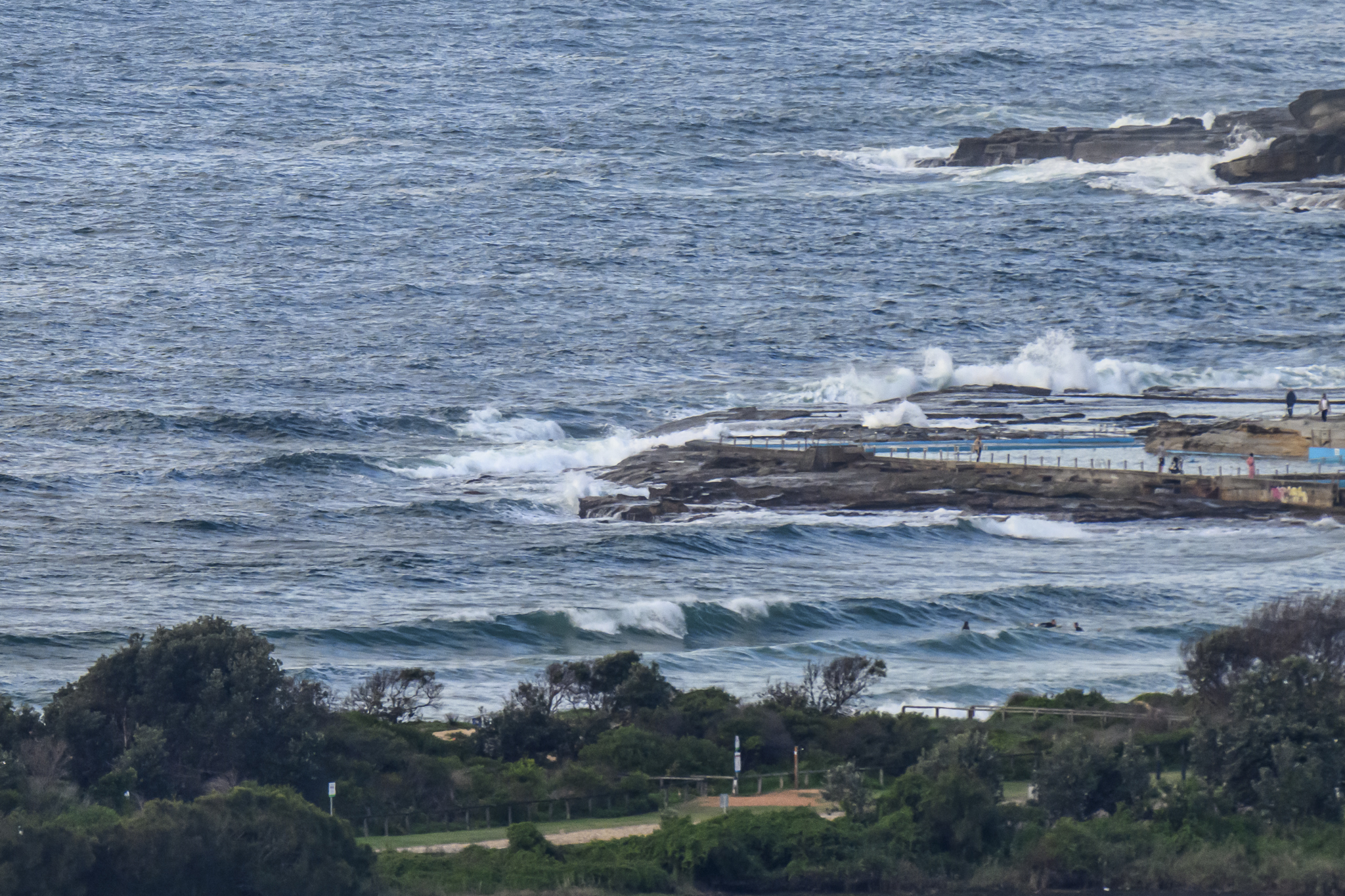
Another cold morning, but at least it’s sunny and not as windy. Swell at Dee Why point is around the chest high mark on sets (a bit bigger on the rare bombs), but the beach is more consistent and sets are into the head high range.
We have another southerly coming through tonight, so the plan is to hit it earlier rather than later. Swell is set to drop off as the day goes along too, so there’s another incentive to get on your bike.
My quick read of the forecast models for this morning is that we can look forward to small south swell conditions tomorrow and maybe a little more quality Sunday am as the period improves.
Gotta run, have a busy day, but will try to report back later if I can. Have yourself a good one!
TIDES: L @1000 H @1650
Weather Situation
A cold front will affect the south coast Friday then a high south of the Bight will move eastwards with the southwest to southerly airstream over NSW becoming light. Over the weekend the high should be centred near Bass Strait with winds tending southeasterly over the state. A trough of low pressure is expected to develop off the coast on Sunday and deepen into a low off the north coast during Monday and Tuesday.Forecast for Friday until midnight
Winds: West to southwesterly 10 to 20 knots tending south to southwesterly at 10 to 15 knots in the afternoon. Seas: Up to 1.5 metres. Swell: Southerly about 1.5 metres.Forecast for Saturday
Winds: Southerly 10 to 15 knots tending south to southeasterly up to 10 knots around midday. Seas: Below 1 metre. Swell: Southerly 1 to 2 metres. The chance of thunderstorms offshore from midday. Large swells breaking dangerously close inshore.Forecast for Sunday
Winds: South to southeasterly 5 to 15 knots decreasing to 10 knots during the morning. Seas: Below 1 metre. Swell: Southerly about 2 metres. Large swells breaking dangerously close inshore.
T