Hello Friends,
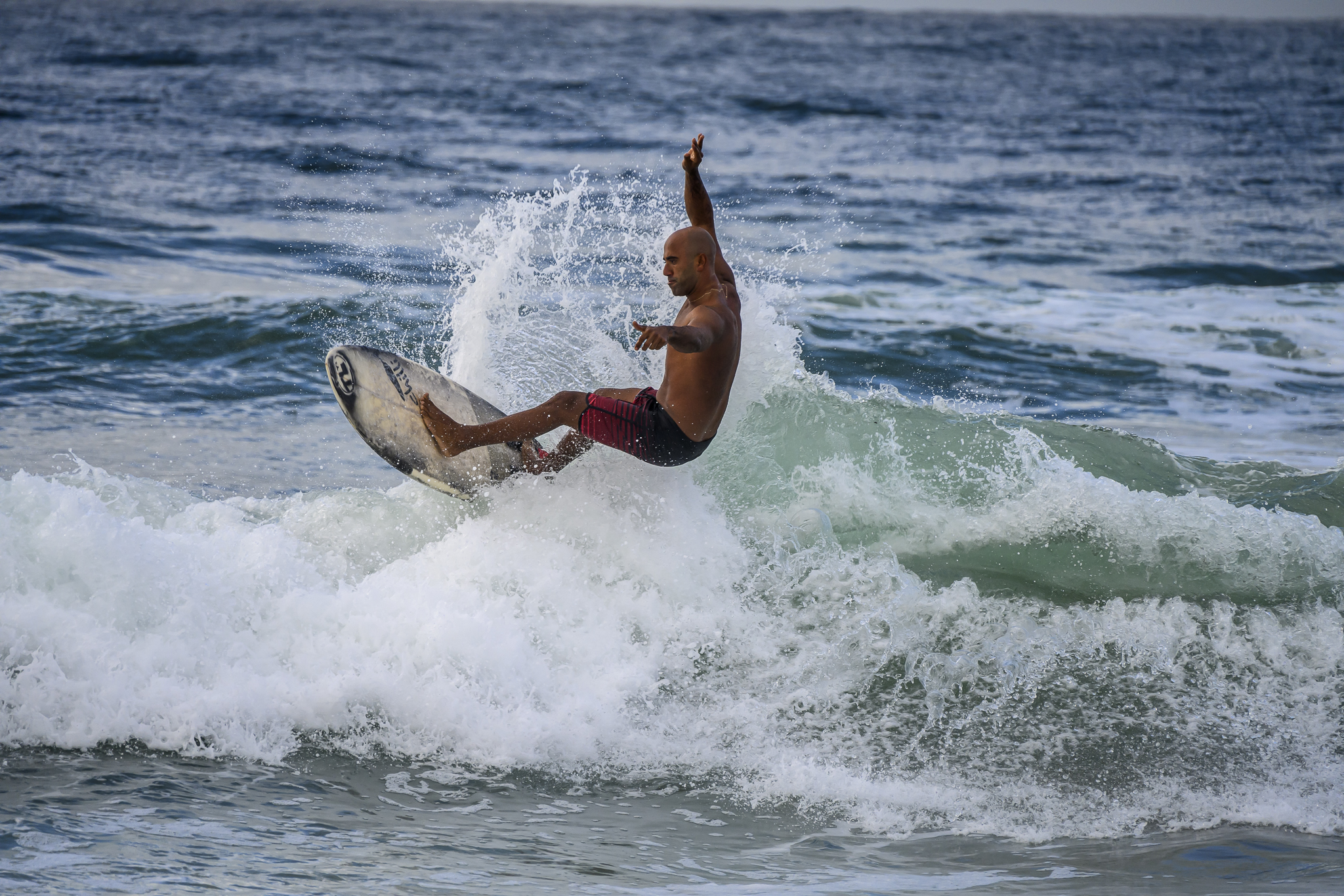
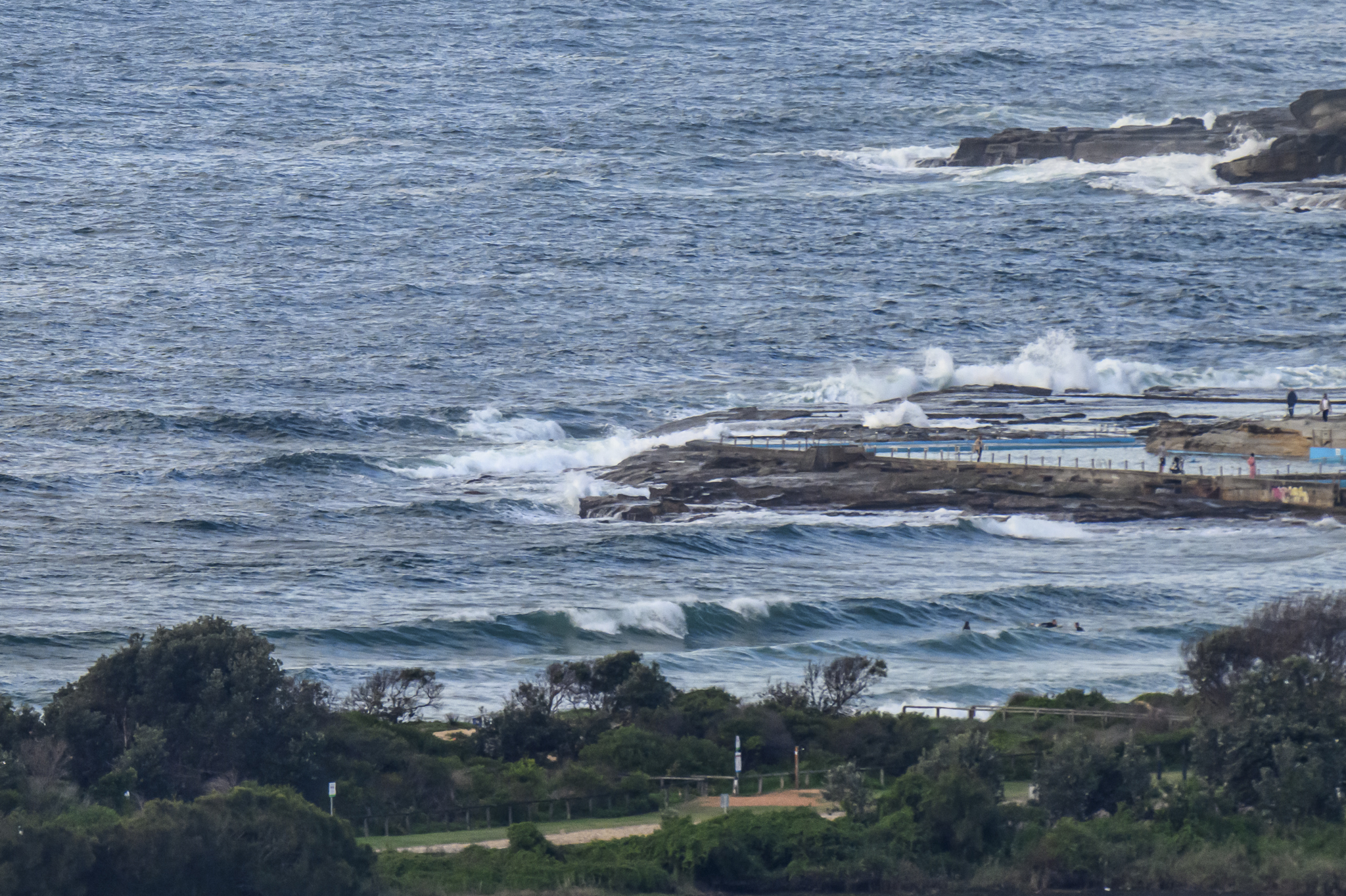
If you were keen this morning at Dee Why there were some little thigh high things coming in. A brisk NW’r was grooming the incoming metre or so of SE wind swell for the small number of surfers on the dawn patrol. Might be a few little bumps around the magnet spots this morning, but keep the expectometer at the low end for maximum happiness.
Tide is high at 1025 and low again late in the afternoon at 1600.
Tomorrow morning doesn’t look like too much fun for surfers in Sydney. It’s supposed to be very windy from the W to NW. It’ll be the coldest it’s been in 2014 so far and showery with it… but… the south swell should start to build by Saturday afternoon.
The forecast models of the last few days have been showing a significant pulse arriving sometime between Sunday morning and early Monday. From this morning’s marine forecast from the Bureau (see below) it looks as though it should be kicking in pretty strongly overnight Saturday and by Sunday afternoon it could be thumping (up to 4 metres) – with 15-20kts of westerly wind and clearing skies.
That said, I’d refer you to the Goat for a more conservative perspective. He has an outstanding forecast record and he’s been watching the surf for a few decades now…
Have yourself a great Friday and stay happy!


Weather Situation
A ridge of high pressure over New South Wales is weakening as a strong cold front approaches the western border, with a trough deepening off the coast today. The cold front is expected to evolve into a complex low pressure system as it continues eastwards tonight, then deepen rapidly as it moves offshore during Saturday. This pattern will maintain vigorous winds along most of the coast through the weekend, easing later on Sunday as the low moves away and the next high pressure ridge extends across from the west.
Forecast for Friday until midnight
Winds
West to northwesterly 10 to 15 knots, reaching 20 knots during the afternoon and evening.
Seas
Around 1 metre, increasing to 1 to 2 metres during the afternoon.
Swell
Southerly 1 to 1.5 metres.
Weather
The chance of thunderstorms offshore.
Saturday 3 May
Gale Warning for Saturday for Sydney Coastal Waters
Winds
West to northwesterly 15 to 20 knots increasing to 20 to 30 knots in the morning, reaching 35 knots offshore in the evening.
Seas
1 to 1.5 metres, increasing to 2 to 3 metres during the morning, then increasing to 2 to 4 metres during the afternoon.
Swell
Southerly around 1 metre, increasing to 1 to 1.5 metres in the evening.
Sunday 4 May
Winds
Westerly 20 to 30 knots decreasing to 15 to 20 knots during the afternoon.
Seas
2 to 3 metres, decreasing below 2 metres during the afternoon.
Swell
Southerly 1.5 to 2.5 metres, increasing to 2.5 to 4 metres during the afternoon.
Weather
The chance of thunderstorms offshore until evening.