
Hello Friends,
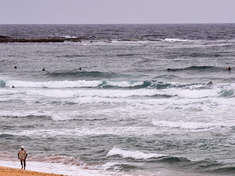
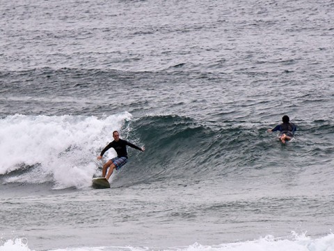
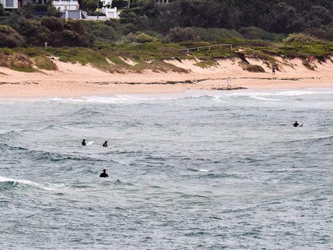
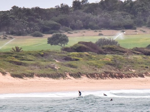
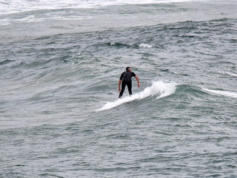
On short and final to Christmas and Huey can only barely be bothered to sling us any waves at all. Checked Curly and Dee Why around 0630 and the wind was already beating them up. Still, there were some tiny, lumpy, fat little things making their way in – particularly at the north end of Curly. Best set wave I saw was around the chest high mark for a moment, but mostly you should expect increasingly onshore bumps in the knee to waist range.
Wind is set to pick up into the 15-20 kt range soon. Tide’s high today at 0950 and back to low at 1630.
South change set for tomorrow morning, so could potentially produce a few moments of interest as it meets the remainders of any wind swell from today.
Christmas day should see us back to NE’rly wind along with some scrappy easterly windswell. Might actually, possibly, maybe be worth it for the early – assuming you don’t have other responsibilities.
Longer range outlook is for something in the way of an east windswell in the chest plus range with onshores Sunday but maybe lighter winds for the early on Monday…
Have a great Tuesday everyone!
Weather Situation
A high pressure system near New Zealand is slowly moving east maintaining a ridge to the northwest and directing northerly winds across the western Tasman Sea and a cold front will bring a brief southerly change along southern half of New South Wales coast during Wednesday. A more vigorous southerly change is expected to develop along the south and central coasts on Friday.
Forecast for Tuesday until midnight
- Winds
- North to northeasterly 15 to 20 knots, reaching up to 25 knots offshore in the late morning.
- Seas
- 1.5 to 2 metres.
- Swell
- Northeasterly below 1 metre.
- Weather
- Cloudy. 70% chance of showers. The chance of a thunderstorm during this afternoon and early evening.
Wednesday 24 December
- Winds
- North to northeasterly 15 to 20 knots shifting southerly 10 to 15 knots in the morning then tending south to southeasterly in the late evening.
- Seas
- 1 to 1.5 metres, decreasing to 1 metre during the morning.
- Swell
- East to northeasterly around 1 metre, increasing to 1 to 1.5 metres during the morning, then tending northeasterly 1 to 1.5 metres around midday.
- Weather
- Cloudy. 80% chance of showers. The chance of a thunderstorm in the morning and afternoon.
Thursday 25 December
- Winds
- Northeasterly 15 to 20 knots.
- Seas
- 1 to 1.5 metres, increasing to 1.5 to 2 metres during the afternoon or evening.
- Swell
- Easterly around 1 metre, increasing to 1 to 1.5 metres offshore.

