

Hello Friends,
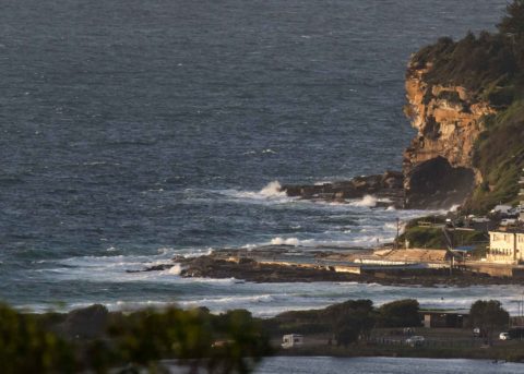
Another windy start for the day. As we kicked off it was ESE at 15-20 kts under partly cloudy skies. Ocean was not looking very interesting as a consequence, although the swell has come up as predicted and as of 0500 was 2.3 metres out at sea with an 8-sec period and coming from the SE. Unfortunately, also as predicted, the wind looks like staying SE through Saturday.
Guess we’ll have to wait until next week for things to potentially change for the better on the surfin’ front.
In the meantime, have yourself a top old Wednesday, and keep on smilin’!
Weather Situation
A high pressure system southeast of the Bight with a ridge to the north is directing southeasterly winds along the New South Wales coast. Winds will turn southeast to northeasterly during Saturday as the high across the southern Tasman Sea towards New Zealand maintaining the ridge to the northwest.
Forecast for Wednesday until midnight
- Winds
- Southeasterly 15 to 20 knots.
- Seas
- 1 to 1.5 metres, decreasing to 1 metre around midday.
- Swell
- Southeasterly 1 to 2 metres.
- Weather
- Cloudy. 60% chance of showers.
Thursday 8 March
- Winds
- Southeasterly 10 to 15 knots.
- Seas
- Around 1 metre.
- Swell
- Southeasterly 1.5 metres, tending easterly 1 to 1.5 metres during the morning, then decreasing to around 1 metre around midday.
- Weather
- Cloudy.
Friday 9 March
- Winds
- Southeasterly 10 to 15 knots.
- Seas
- Around 1 metre, increasing to 1 to 1.5 metres offshore.
- Swell
- Southeasterly around 1 metre, increasing to 1.5 metres during the afternoon.
- Weather
- Partly cloudy.


