Hello Friends,
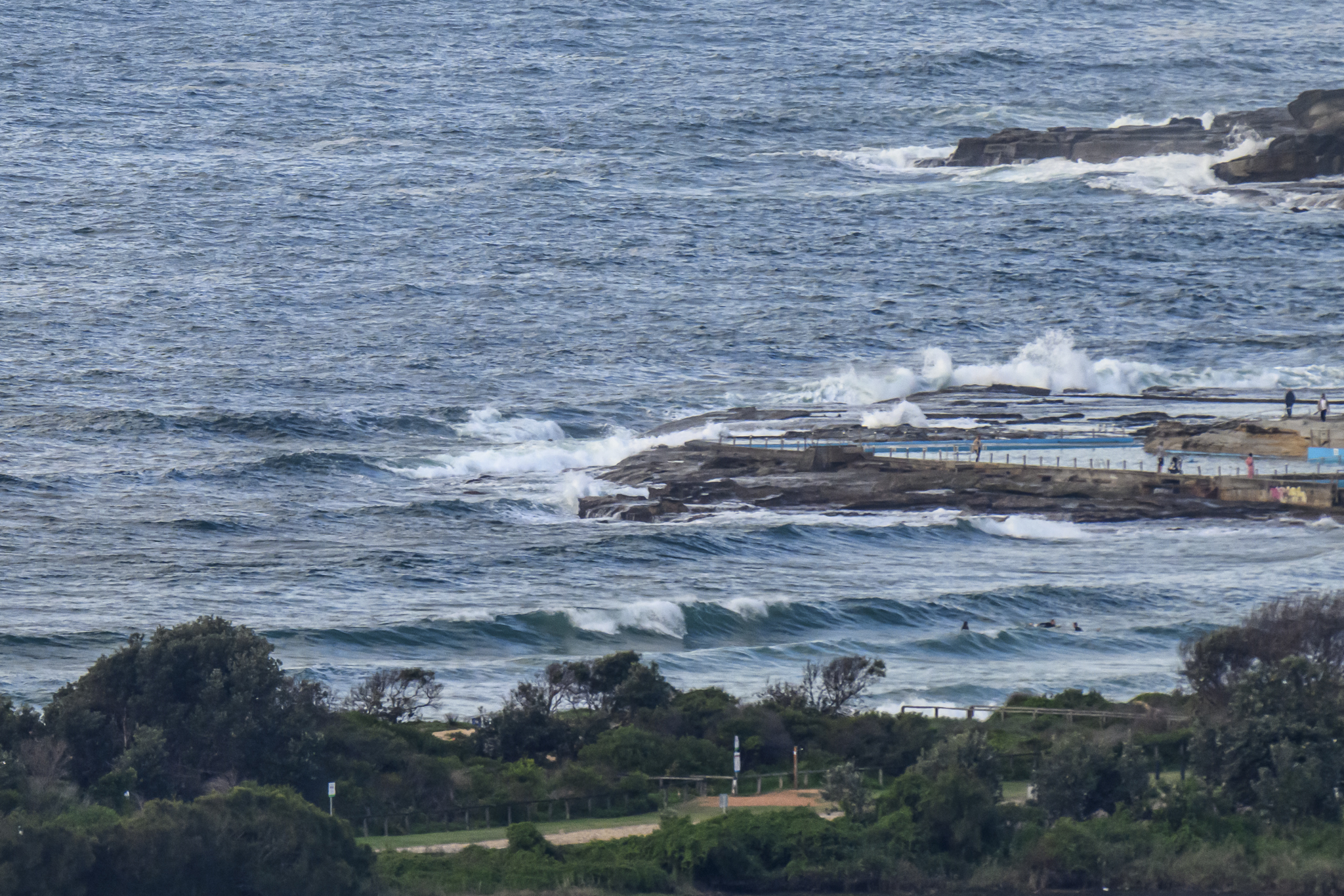
Sunny skies and SW wind for Tuesday morning. Out at sea the SSE swell was around a metre at 9-10 seconds apart, but the wind is holding it off our beaches. And, from the look of the modelling, it’ll keep doing so throughout the day. So super clean, but almost perfectly flat.
It looks like we have another couple days of tiny conditions and then from around Friday swell prospects improve but the wind regime kicks into onshore mode – argh.
Patience. The great days always return!


Weather Situation
Gusty south to southwesterly winds will extend throughout today as the trough in the north moves offshore. Lighter winds are then expected Wednesday as a high pressure system moves over the Tasman Sea, ahead of another front bringing a gusty southerly change to southern and central waters on Thursday.
Forecast for Tuesday until midnight
- Winds
- South to southwesterly 20 to 25 knots.
- Seas
- 1 to 2 metres.
- 1st Swell
- Southerly around 1 metre, increasing to 1.5 to 2 metres around midday.
- 2nd Swell
- Northeasterly around 1 metre.
- Weather
- Partly cloudy. The chance of a thunderstorm offshore early this morning.
Wednesday 9 December
- Winds
- Southerly about 10 knots becoming variable in the morning, tending northeasterly 15 to 20 knots in the afternoon.
- Seas
- 1 to 1.5 metres.
- Swell
- Southerly 1.5 to 2.5 metres.
- Weather
- Mostly sunny.
Thursday 10 December
- Winds
- Northerly 15 to 20 knots ahead of a gusty southerly change 20 to 30 knots during the afternoon.
- Seas
- 1 to 1.5 metres, increasing to 1.5 to 2.5 metres during the morning.
- Swell
- Southerly 1 to 1.5 metres.
- Weather
- Mostly sunny.