Hello Friends,
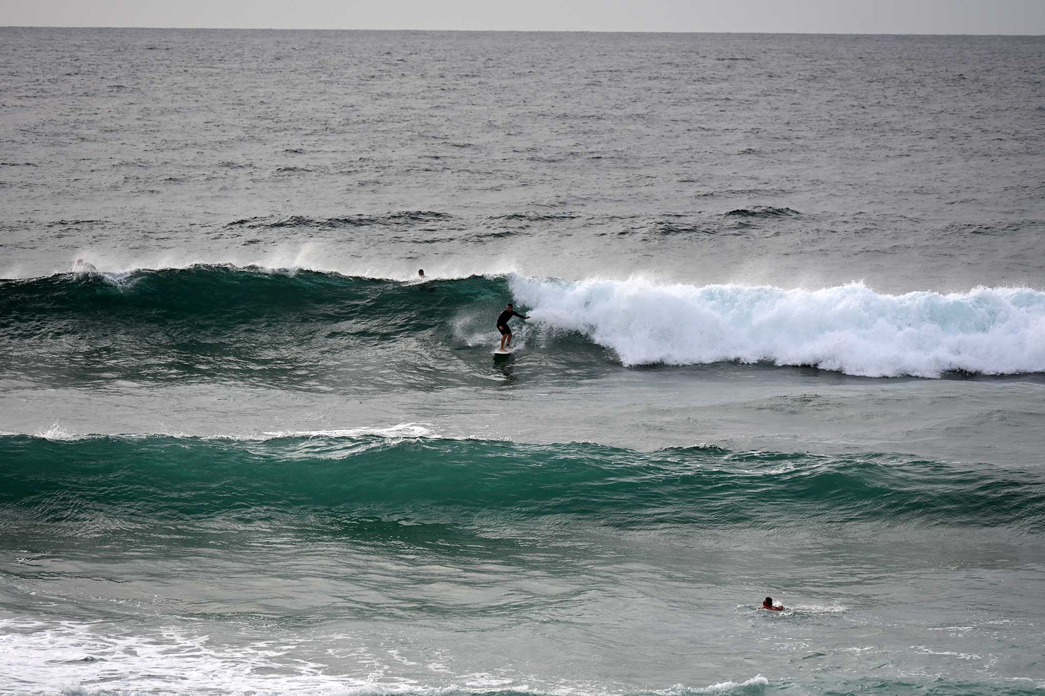
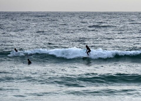
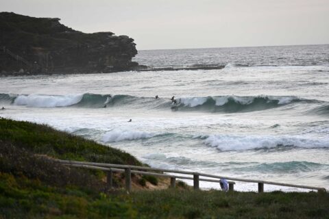
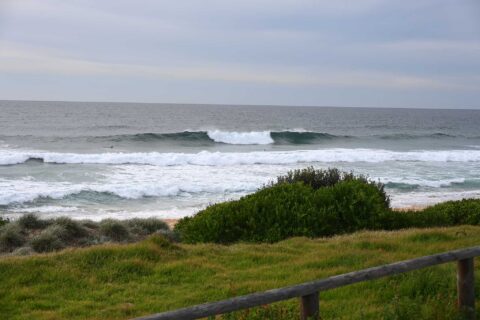
Another relatively windless start with waves but high tide fatness as well.
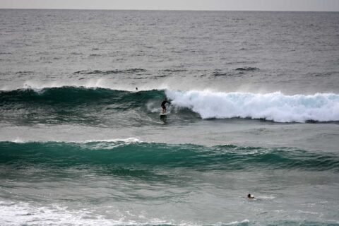
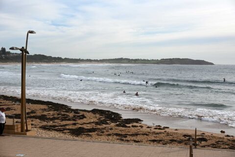
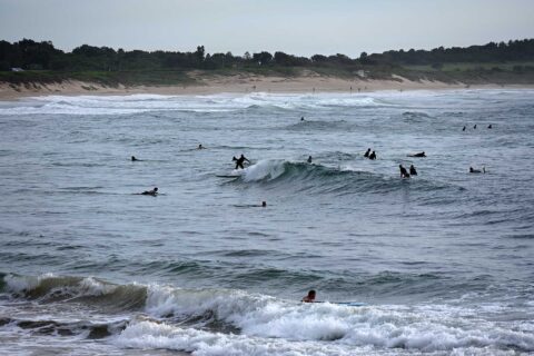
Manly was in the waist to chest high range, Curly was chest to head and a bit, and Dee Why was a bit bigger than Manly but not seeing the same size on bomb sets.
Out at sea, the swell was 1/5 metres at 8 seconds from 125°. Wind has gone around to the NNE at 9-10 kts. Tide hits a 1.87m high at 0940. Water is on 22C and today’s weather calls for a high of 30C with a 40% chance of a shower.
Outlook is for an extended period of south to east wind (see the Goat’s ruminations on the topic here), so this could be as clean as it gets for awhile…
Take care and go well!
Weather Situation
A high pressure system over the Tasman Sea is extending a ridge to the northern New South Wales coast whilst a low pressure trough is approaching from the west. The trough is forecast to bring a southerly change on the weekend.
Forecast for Friday until midnight
Winds
North to northeasterly 15 to 25 knots.
Seas
1.5 to 2 metres.
Swell
Southeasterly 1 to 1.5 metres.
Weather
Becoming cloudy.
Saturday 13 February
Strong Wind Warning for Saturday for Sydney Coast
Winds
Northwest to northeasterly 15 to 25 knots shifting southerly 20 to 30 knots in the late morning or early afternoon.
Seas
1.5 to 2.5 metres.
1st Swell
Northeasterly 1 to 1.5 metres.
2nd Swell
Southeasterly around 1 metre.
Weather
Cloudy. 90% chance of showers.
Sunday 14 February
Winds
Southerly 15 to 25 knots.
Seas
1.5 to 2 metres.
1st Swell
Southerly 1 to 1.5 metres.
2nd Swell
East to northeasterly around 1 metre.
Weather
Partly cloudy.


