Hello Friends,
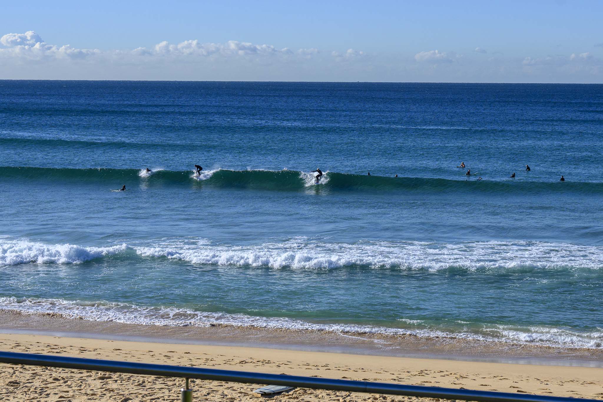
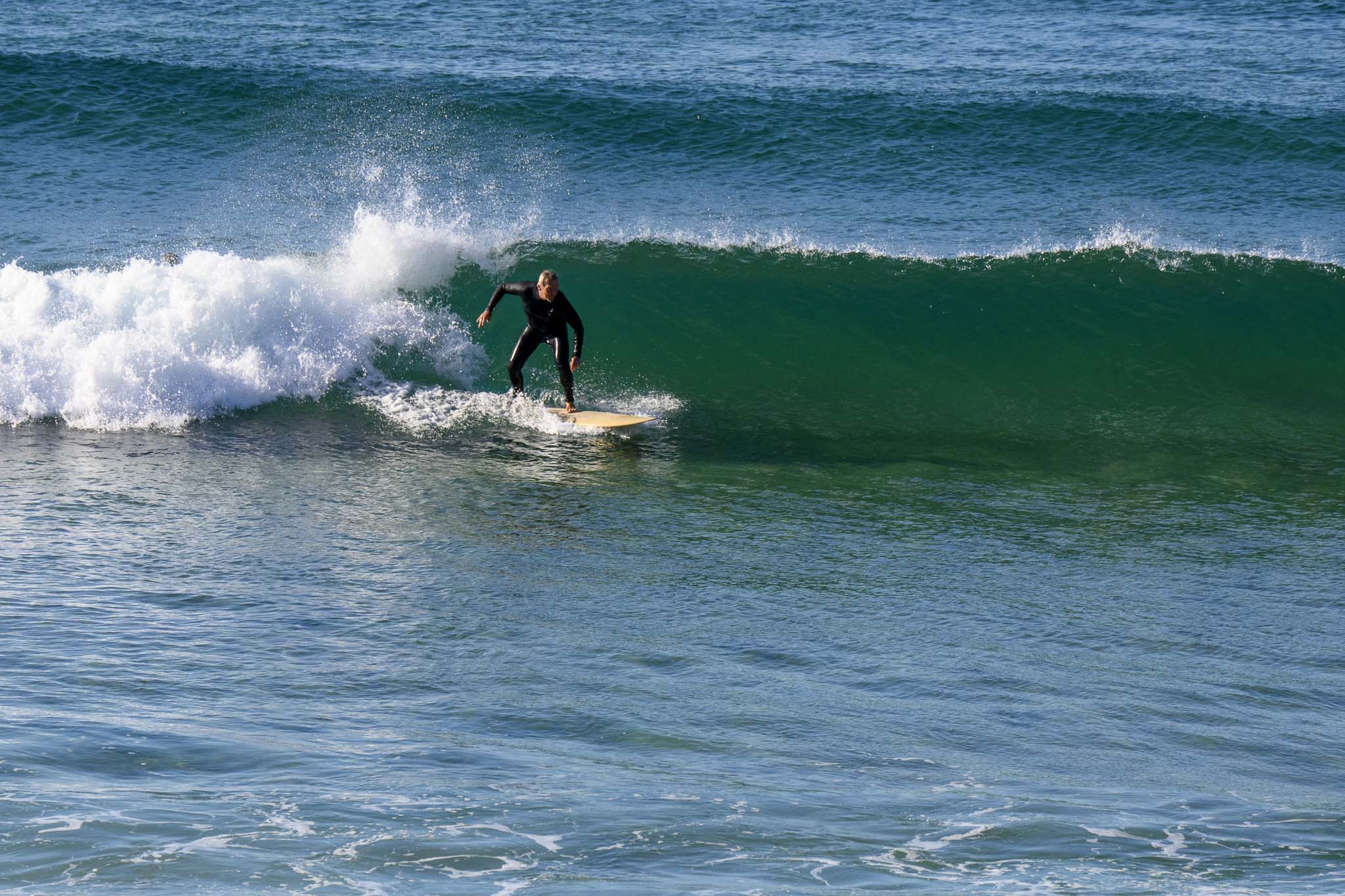
As expected, this morning sees only tiny waves for the most part. Out at sea, the swell is a metre and coming from 162° at 8 seconds apart. Tide was low at 0610 and will be back to high at 1210. As of 0730 wind was WNW 12-16 kts.
While there’s really not much of anything above the knee high mark, by mid-afternoon we could start seeing the early signs of our next south pulse. As long as the wind stays SW, we could be in with a chance of some fun ones for the end of the day session. If it goes south, obviously that will chop things up at the biggest spots.
0900: stopped by Curly to get a snap for the report and there was a little peak in the south corner picking up the very small swell. Other places, eg Manly and Dee Why, were approaching being unsurfably small – but not quite!
Tuesday to Thursday is still looking promising on the models.
Weather Situation
Fresh to strong west to southwesterly winds continue to the south as a cold front moves east and moves into the Tasman. Lighter winds are expected from Tuesday as a high pressure system over the Bight gradually moves over the state.
Forecast for Monday until midnight
- Winds
- Southwesterly 15 to 20 knots, reaching up to 25 knots offshore during the morning and early afternoon.
- Seas
- 1 to 2 metres.
- Swell
- Southerly 1 to 1.5 metres, increasing to 2 to 3 metres around midday.
- Weather
- Partly cloudy.
Tuesday 18 May
- Winds
- Southwesterly 10 to 15 knots becoming variable below 10 knots in the early afternoon.
- Seas
- Around 1 metre, decreasing below 0.5 metres during the afternoon.
- Swell
- Southerly 2 to 2.5 metres.
- Weather
- Partly cloudy.
Wednesday 19 May
- Winds
- Northwesterly about 10 knots tending northerly 10 to 15 knots during the afternoon.
- Seas
- Below 1 metre.
- Swell
- Southerly 1.5 to 2.5 metres.
- Weather
- Mostly sunny.


