Hello Friends,
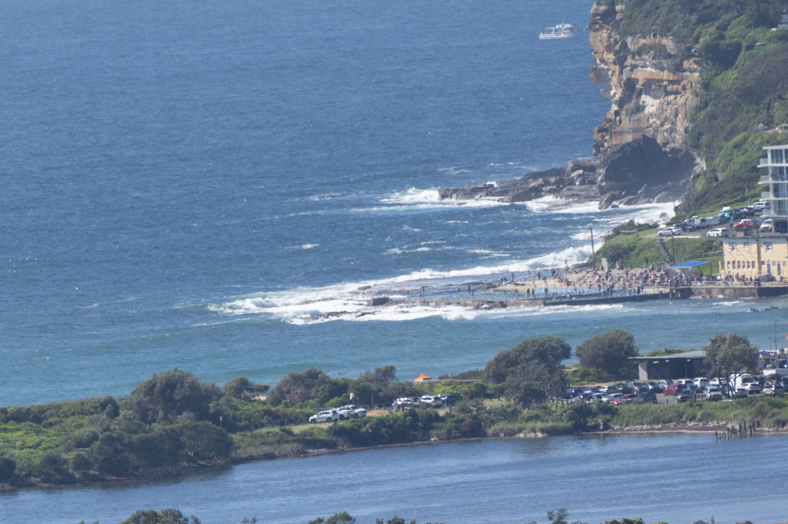
A delightful summer Sunday morning at Dee Why, but boards are kind of surplus to requirements. The NNE blew all night and as of 0900 it was 7-10 kts (going to the NE and accelrating to 15-25 kts by this arvo). Swell at sea was 1.5 m at 8 seconds from the ENE and although the Dee Why end of the beach was jammed, it was so small that there were hardly any hopefuls in the water. From the look of the Curly cam, there are some knee to waist high, close together windswell lines keeping a healthy crowd at the north end amused. Basically it’s your standard issue Sydney summer day. Ocean temp is a delightful 24C. Weather outlook is for a mostly sunny day with a high of 29C.
As the Weather Situation from the Bureau notes below, the influence of TC Seth down our way remains uncertain. The models are currently showing the energy starting to fill in to our stretch of coast tomorrow morning with a couple metres of 11-12s ENE swell running into SE wind. Not super ideal really, but there should be something in the protected south corners with that combo.
Right now it looks as though the swell will get over the 2 metre mark at sea and it should last for the remainder of the week, as it very gradually fades out. Or so it would appear. TC’s are just inherently unpredictable.
Take it easy everyone, have a lovely Sunday outside and take the mask, because with the current public health settings Omicron looks like getting to you or someone you know very soon. 6300 cases reported* a day a week ago has now reached 18,000. If you can get a third jab, do so!
*reported case numbers do not reflect the full extent of infections, it could be 5x higher.
Weather Situation
A slow moving high pressure system over the Tasman Sea extends a ridge towards northeastern New South Wales, while Tropical Cyclone Seth is tracking south over the Coral Sea. TC Seth is forecast to approach the northern Tasman Sea during Sunday, before transitioning into an ex-tropical cyclone and meandering near the southern Queensland or far northern New South Wales coasts on Monday. While there is uncertainty regarding the movement of this system, it is likely to bring large and powerful waves, hazardous surf conditions and strong to gale force winds over northern waters.
Forecast for Sunday until midnight
- Winds
- Northeasterly 15 to 25 knots.
- Seas
- 1.5 to 2 metres, decreasing to 1 to 1.5 metres during the morning, then increasing to 1.5 to 2 metres during the afternoon.
- Swell
- Northeasterly 1 to 1.5 metres.
- Weather
- Mostly sunny.
Monday 3 January
- Winds
- East to northeasterly 10 to 15 knots turning southeasterly 15 to 20 knots during the morning.
- Seas
- 1 to 2 metres, decreasing below 1 metre during the morning, increasing to 1 to 1.5 metres offshore during the afternoon.
- Swell
- Northeasterly 1.5 metres, increasing to 1.5 to 2.5 metres during the morning.
- Weather
- Mostly sunny.
- Caution
- Large and powerful surf conditions in the afternoon and evening are expected to be hazardous for coastal activities such as crossing bars by boat and rock fishing.
Tuesday 4 January
- Winds
- Southeasterly 15 to 20 knots.
- Seas
- Around 1 metre, increasing to 1 to 1.5 metres during the morning.
- Swell
- Northeasterly 2.5 metres, tending easterly 2 to 2.5 metres during the morning.
- Weather
- Partly cloudy. 60% chance of showers.
- Caution
- Large and powerful surf conditions in the morning are expected to be hazardous for coastal activities such as crossing bars by boat and rock fishing.


