Hello Friends,
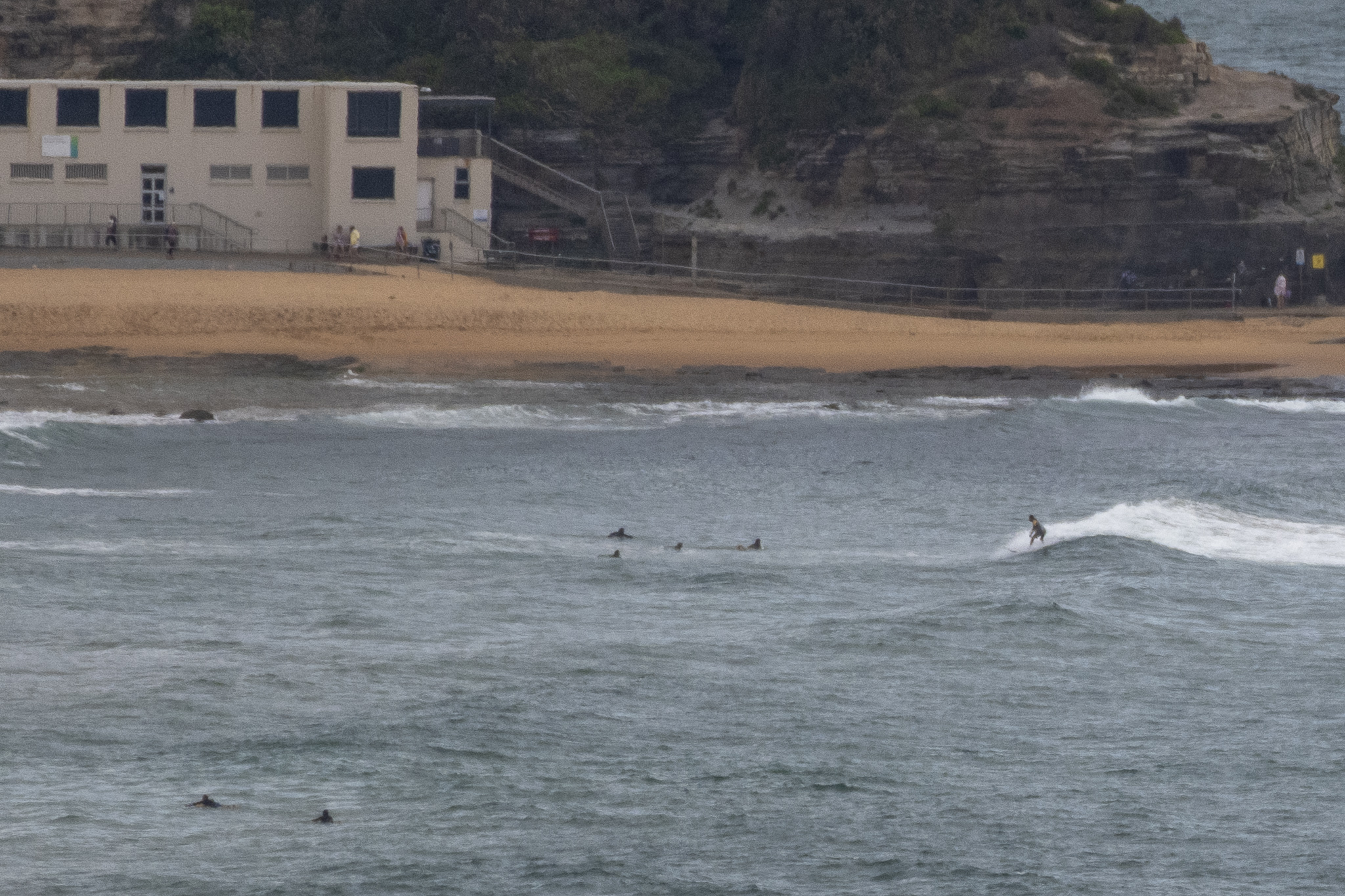
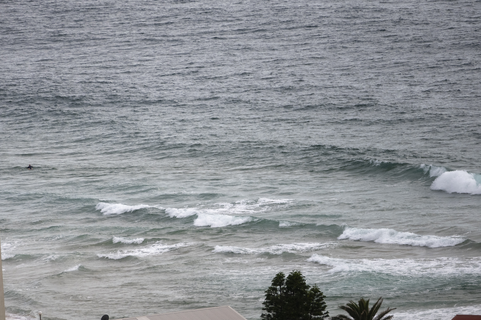
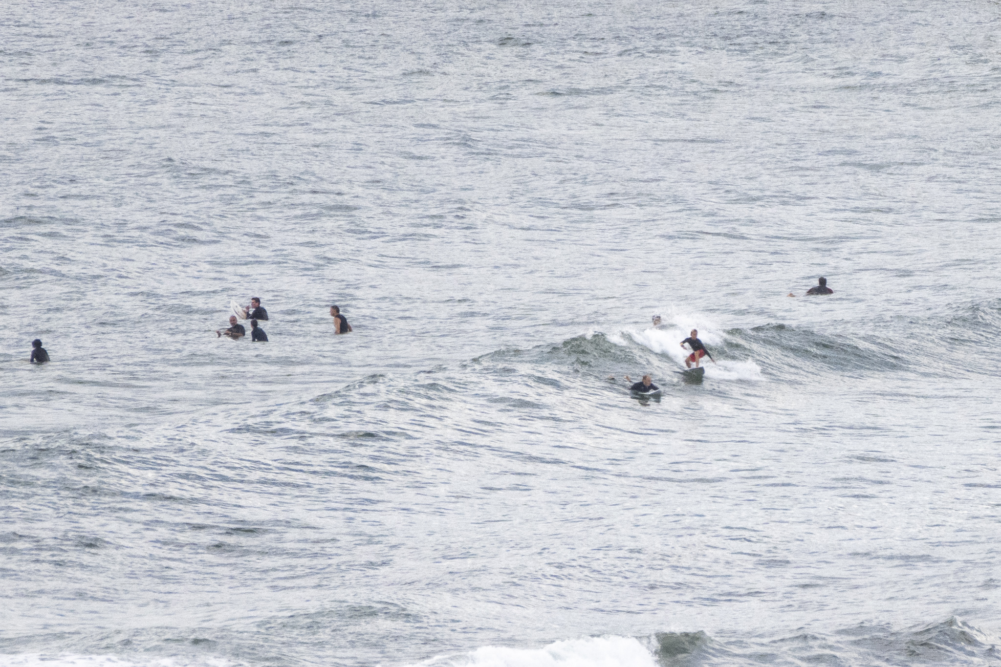
Had hoped it might be similar to yesterday this morning, but as the pics show, it’s not.
A 7-11 kt ENE wind was texturing it up by 0800 and the 1.1 metre 9-sec east wind bump was struggling to deliver waist high faces on the sets at better exposures. On top of that, it looked to be inconsistent. So, a lot of sitting around for the occasional crumbly little bump.
The wind will smash up these paltry offerings by lunch time.
What do the next few days hold for us? Well, I’ll wait to see what His Eminence, the Mighty Goat, has to say later. For what it’s worth, I’m not seeing much of interest until next week.
Look after yourselves, there’s still heaps of virus around. Good to see lots of folks in N95s at the shops around my area. Just doing the right thing, and why wouldn’t ya?
Weather Situation
A high pressure system will be the dominate feature over the southern Tasman Sea for most of this week, extending a ridge to the northern New South Wales coast. The ridge will maintain east to southeasterly winds along northern parts of the coast and north to northeasterly winds along southern parts.
Forecast for Thursday until midnight
- Winds
- Northeasterly 15 to 20 knots.
- Seas
- Around 1 metre, increasing to 1 to 1.5 metres around midday.
- Swell
- Easterly around 1 metre.
- Weather
- Partly cloudy.
Friday 28 January
- Winds
- Northeasterly 15 to 20 knots.
- Seas
- 1 to 1.5 metres.
- Swell
- Easterly around 1 metre.
- Weather
- Partly cloudy.
Saturday 29 January
- Winds
- Northeasterly 15 to 20 knots.
- Seas
- 1 to 1.5 metres.
- Swell
- Easterly around 1 metre.
- Weather
- Mostly sunny.


