Hello Friends,
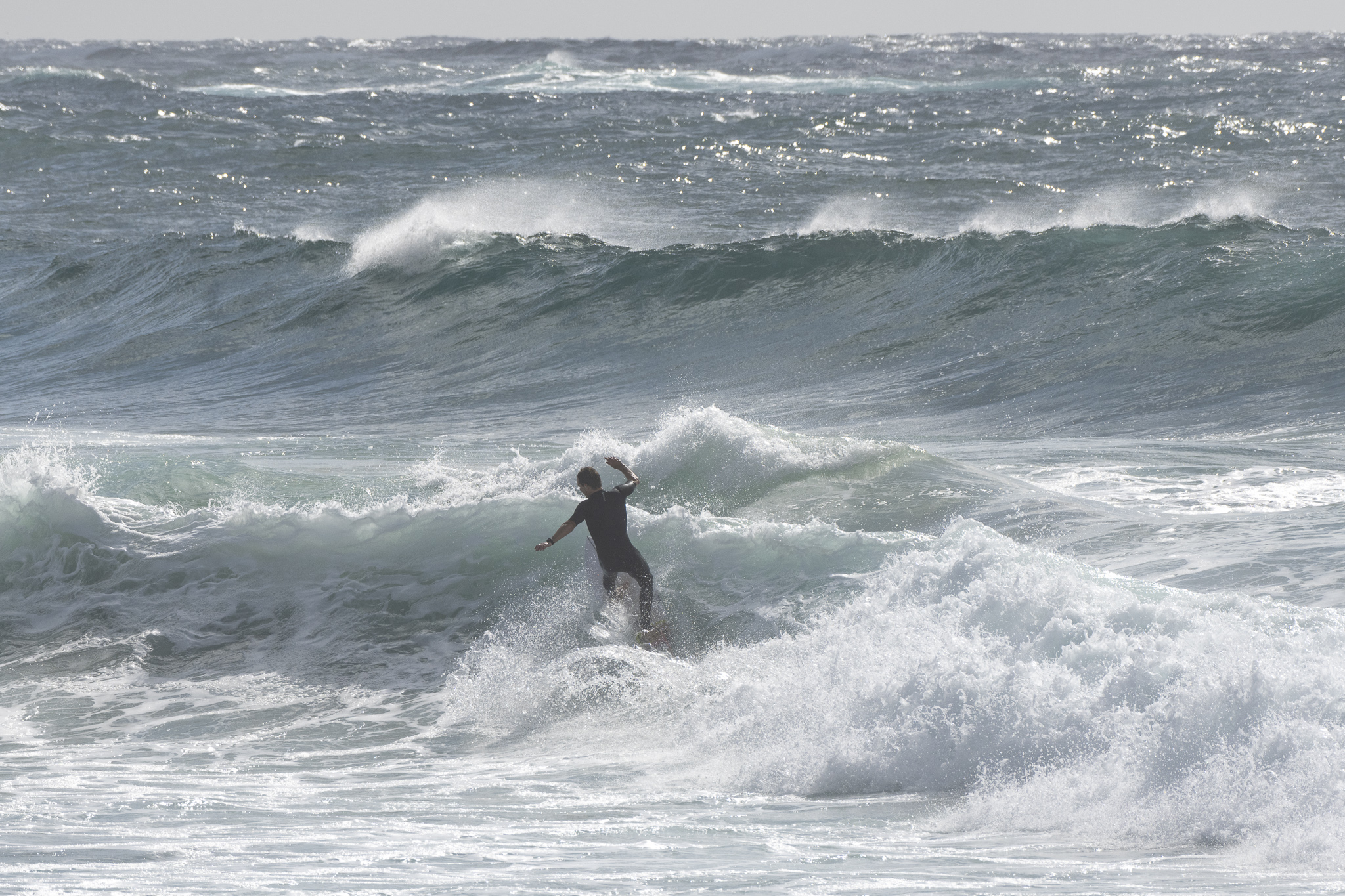
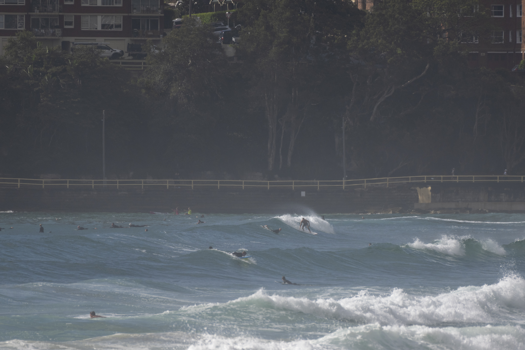
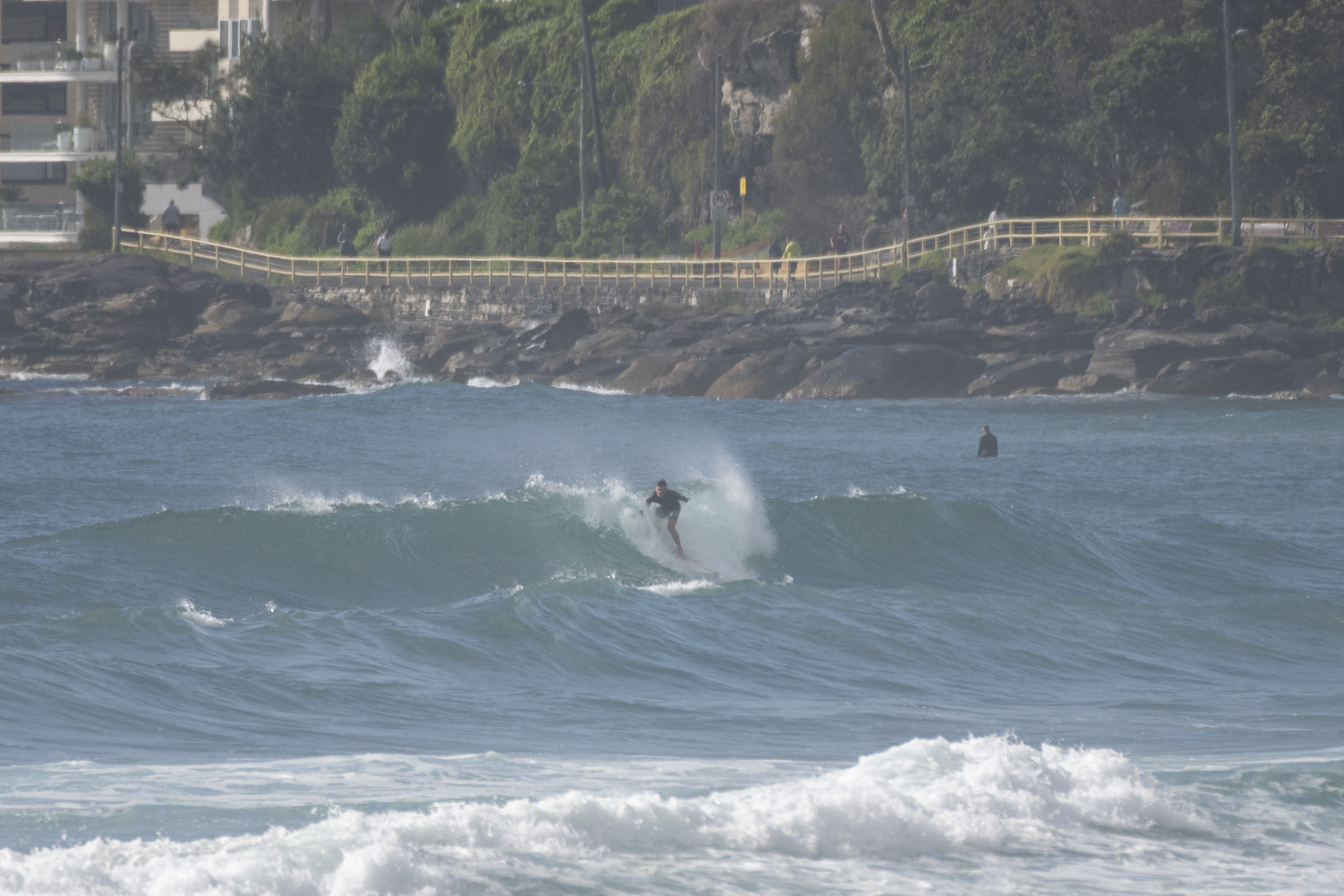
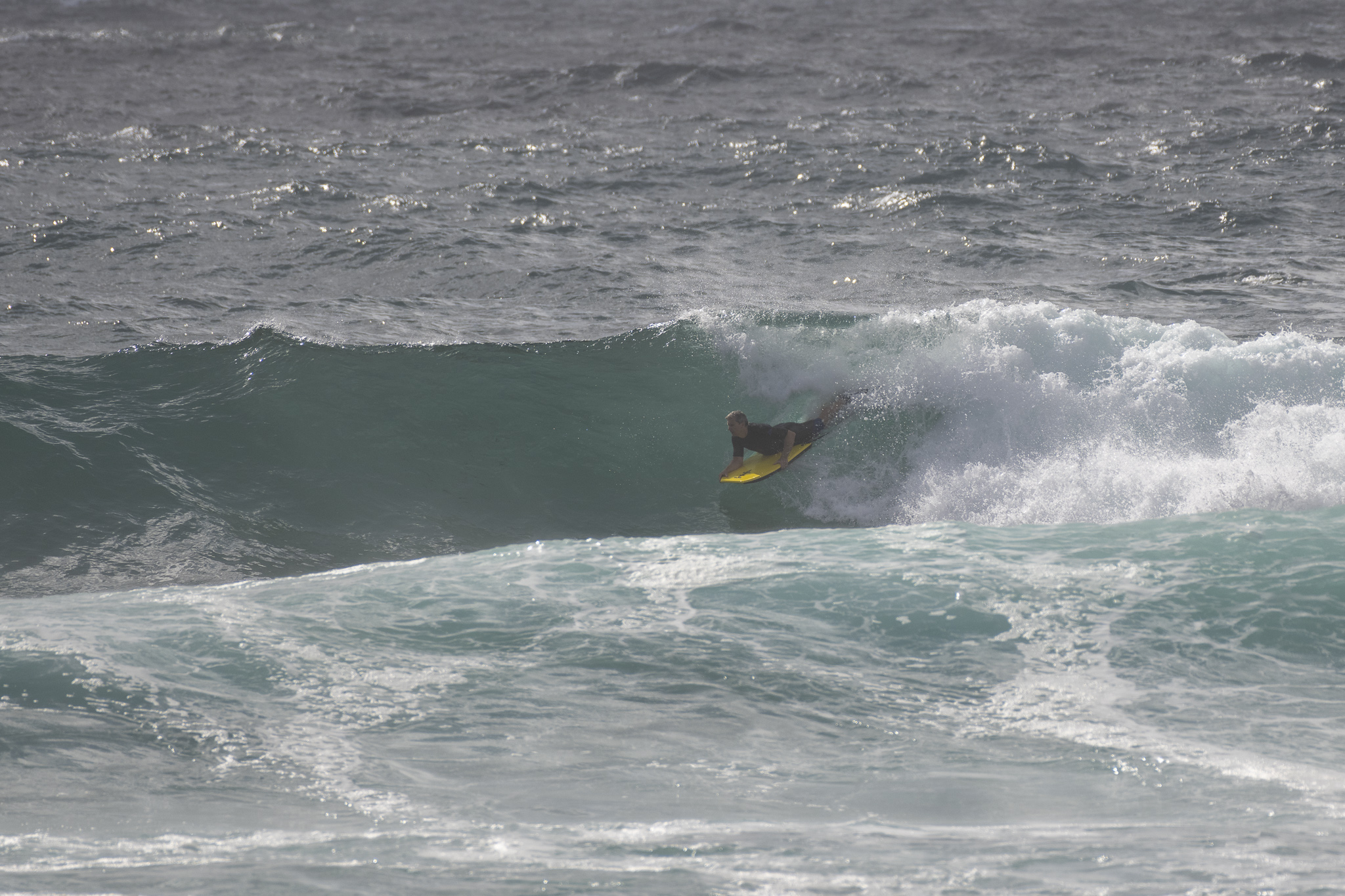
If you wanted to get in this morning, there were a few options around the place. Both the south end of Dee Why and South Steyne were offering junky but cross-offshore conditions with wave faces into the chest plus range. Swell at sea was dead south and 3.6 metres at 12 seconds as of 0700. Wind will settle to the S-SE and build to 20-30 kts as the swell stays in the 2-3 metre range.
The Goat shared his thoughts on the week-ahead outlook yesterday, and so far he’s been proven correct. Check out the words of wisdom here and go well with your Friday!
Weather Situation
A high pressure system situated over the Great Australia Bight extends a ridge along the New South Wales coast. This high will move slowly eastwards, reaching the southern Tasman Sea by Sunday. Fresh to strong southeasterly winds are likely to persist for the remainder of the week and during the weekend, generating large waves.
Forecast for Friday until midnight
Strong Wind Warning for Friday for Sydney Coast
- Winds
- South to southeasterly 20 to 30 knots decreasing to 20 to 25 knots in the evening.
- Seas
- 2 to 2.5 metres.
- 1st Swell
- Southerly 1.5 to 2 metres, tending southeasterly 2 to 2.5 metres around midday.
- 2nd Swell
- Easterly 1 to 1.5 metres, decreasing below 0.5 metres by early evening.
- Weather
- Partly cloudy. 60% chance of showers.
- Caution
- Large and powerful surf conditions are expected to be hazardous for coastal activities such as crossing bars by boat and rock fishing.
Saturday 5 February
Strong Wind Warning for Saturday for Sydney Coast
- Winds
- Southeasterly 20 to 30 knots.
- Seas
- 2 to 2.5 metres.
- Swell
- Southeasterly 2.5 to 3 metres.
- Weather
- Partly cloudy. 50% chance of showers.
- Caution
- Large and powerful surf conditions are expected to be hazardous for coastal activities such as crossing bars by boat and rock fishing.
Sunday 6 February
- Winds
- Southeasterly 20 to 25 knots.
- Seas
- 1.5 to 2 metres.
- Swell
- Southeasterly 2.5 metres.
- Weather
- Partly cloudy. 60% chance of showers.


