Hello Friends,
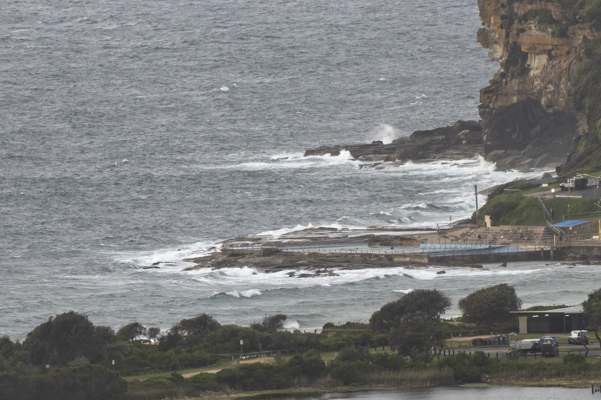
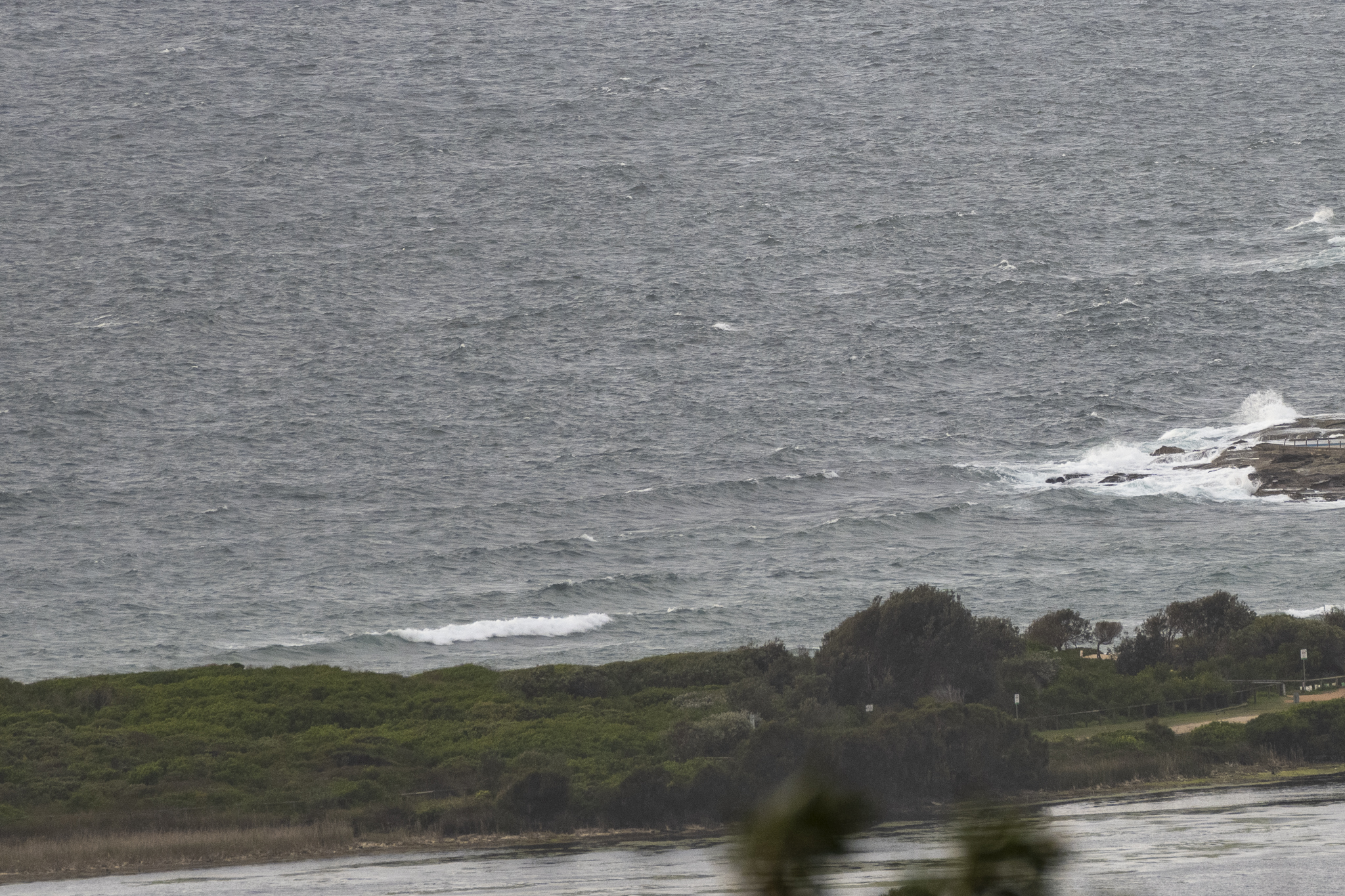
Well, as expected, surf conditions are awful as Wednesday gets started. The NE wind was 15-20 kts by 0630, smashing the little 6-sec period choppy NE wind swell. Skies were clouding over, making the forecast 90% chance of 4-10mm of rain later look entirely plausible.
It’s set to rain even more tomorrow (15-25mm) and to do so again on Friday (6-10mm).
The swell modelling which looked sort of semi-hopeful a day or two ago has gone all bleak on us this morning. The call now is for relentless NE wind and only short period NE chop.
Right now it looks as though the next chance of a reasonable little springtime wave will be maybe on Monday morning…
Go well with your day everyone!
Weather Situation
A high pressure system lies over the Tasman Sea, with coastal winds shifting east to northeasterly. Winds will increase during the second half of the week as a low pressure system approaches from the west. This low looks set to cross the northern coast at the end of the week, before a new high extends across the region.
Forecast for Wednesday until midnight
Strong Wind Warning for Wednesday for Sydney Coast
- Winds
- Northeasterly 15 to 25 knots, increasing to 20 to 30 knots during the afternoon and evening.
- Seas
- 1.5 metres, increasing to 1.5 to 2.5 metres during the morning.
- Swell
- Southerly below 1 metre.
- Weather
- Partly cloudy. 90% chance of rain.
Thursday 22 September
Strong Wind Warning for Thursday for Sydney Coast
- Winds
- East to northeasterly 20 to 30 knots, easing to 20 to 25 knots in the evening.
- Seas
- 2 to 3 metres.
- Swell
- Northeasterly around 1 metre, increasing to 1 to 2 metres during the morning.
- Weather
- Cloudy. Near 100% chance of rain.
Friday 23 September
- Winds
- East to northeasterly 20 to 25 knots turning northerly 15 to 20 knots during the evening. Winds reaching up to 30 knots offshore in the morning.
- Seas
- 1.5 to 2 metres, decreasing to 1.5 metres during the evening.
- Swell
- Northeasterly 1.5 to 2.5 metres.
- Weather
- Cloudy. 95% chance of showers.


