Hello Friends,
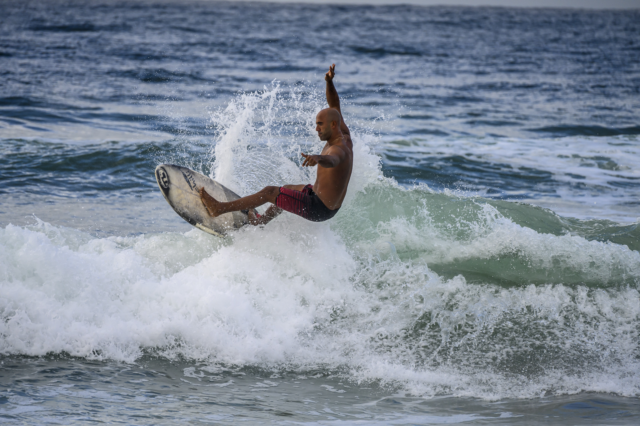
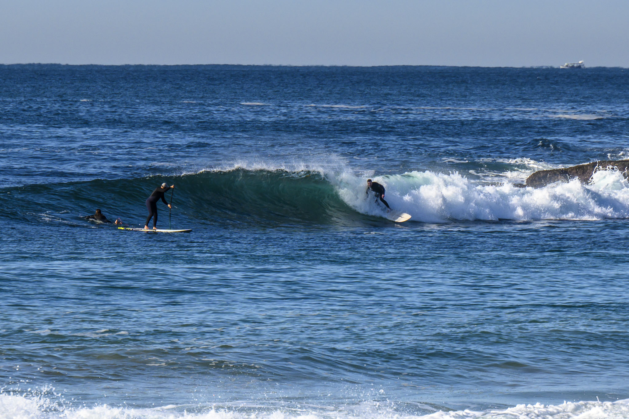
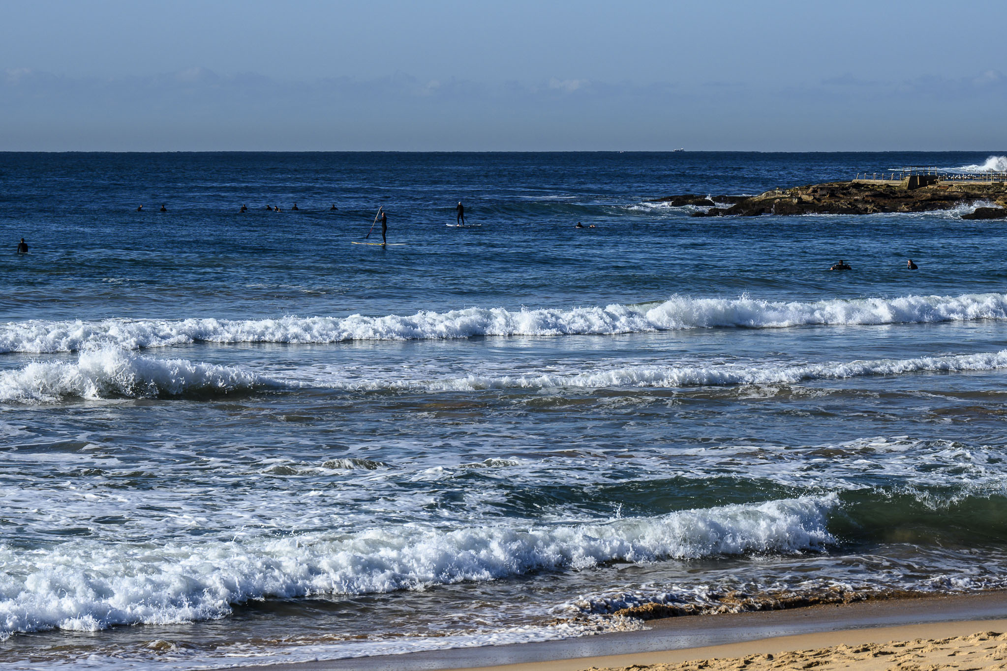
We still have a few 13-second period sets coming in from the SE at pretty close to the same swell height (1.7 m) as yesterday. But that said, it definitely looked smaller as I drove along the beaches this morning. A light WNW wind was texturing the surface at Dee Why when I stopped to grab the pics and tide was bottoming out at 0830. It’s coming in now and will be back to the 1.5 m high at 1515. Weather is set to stay sunny all day as we head to a high of 20. The ocean is clean and 18.
The good news is that right now it looks like we should have only slightly smaller conditions tomorrow morning. Not sure what the Goat’ll make of it when he drops his forecast later today, but my hunch is we’re probably in for a pretty quiet start to next week…
Go well everyone!
Weather Situation
A strong high pressure system over southern parts of the state extends a ridge along the coast directing a northern flow as the high pressure system moves into the Tasman Sea today. A trough brushes along the southern coastal waters later in the week, with a brief fresh west to southwesterly wind change expected on Friday and again on Sunday.
Forecast for Thursday until midnight
- Winds
- Variable below 10 knots becoming northerly 10 to 15 knots in the early afternoon. Winds reaching up to 20 knots offshore in the late evening.
- Seas
- Around 1 metre.
- Swell
- Southerly 1.5 metres.
- Weather
- Sunny.
Friday 28 July
- Winds
- Northwesterly 10 to 15 knots, reaching up to 20 knots offshore during the morning and early afternoon. Winds tending westerly in the evening.
- Seas
- 1 to 1.5 metres, decreasing to 1 metre during the afternoon.
- Swell
- Southerly 1 to 1.5 metres, decreasing to around 1 metre during the morning.
- Weather
- Mostly sunny.
Saturday 29 July
- Winds
- West to southwesterly 10 to 15 knots becoming variable below 10 knots during the morning then becoming northwesterly 10 to 15 knots during the evening.
- Seas
- Below 1 metre.
- Swell
- Southerly around 1 metre.
- Weather
- Mostly sunny.