Hello Friends,
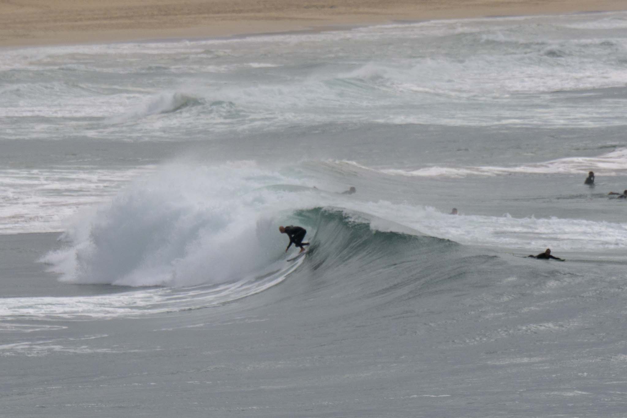
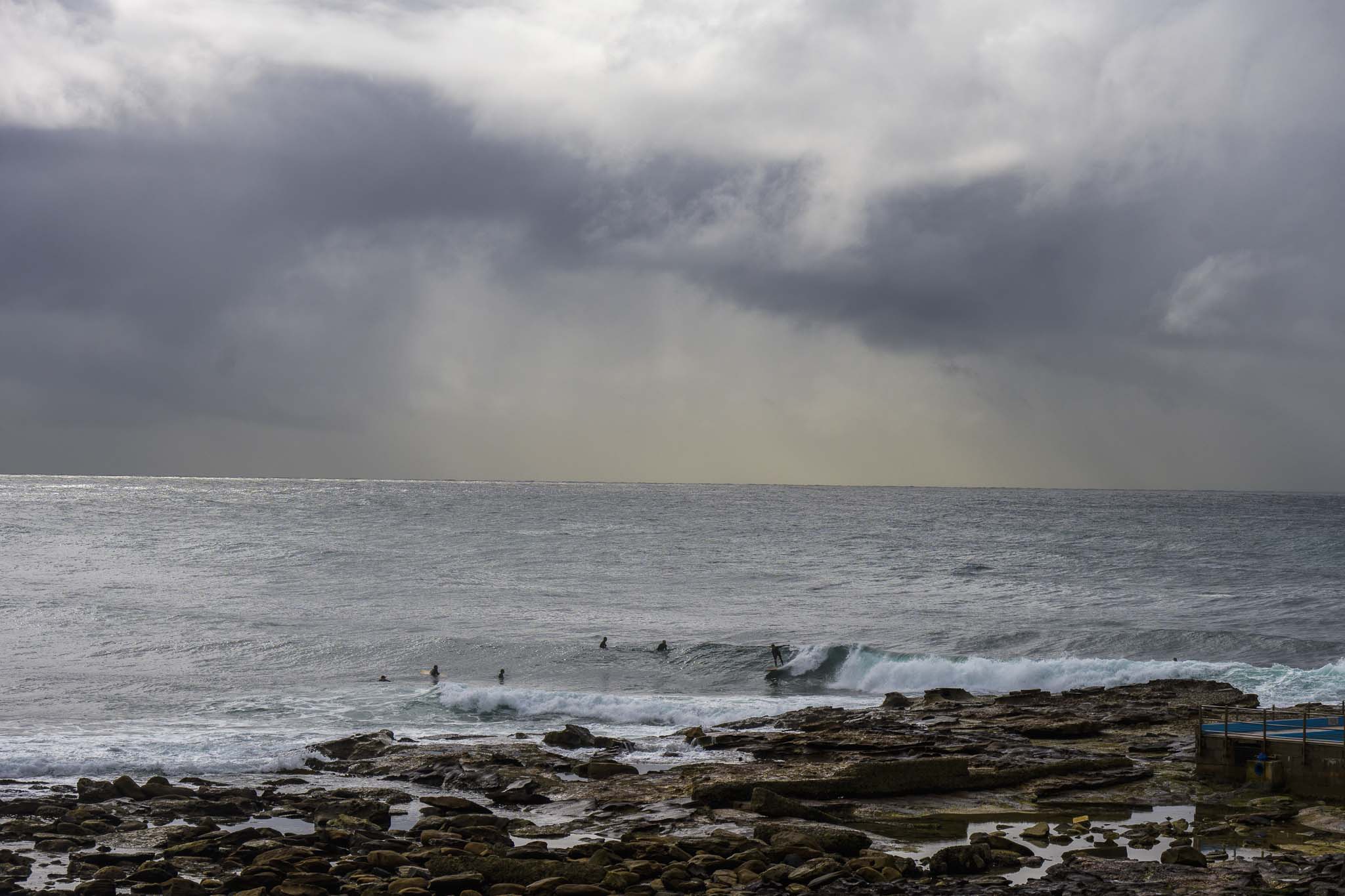
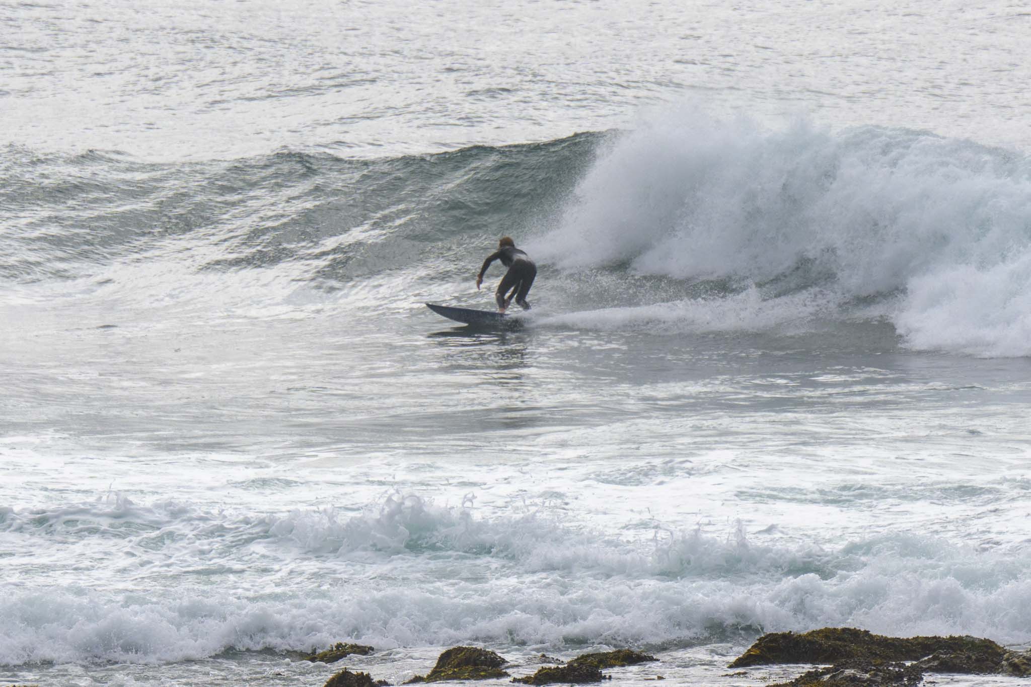
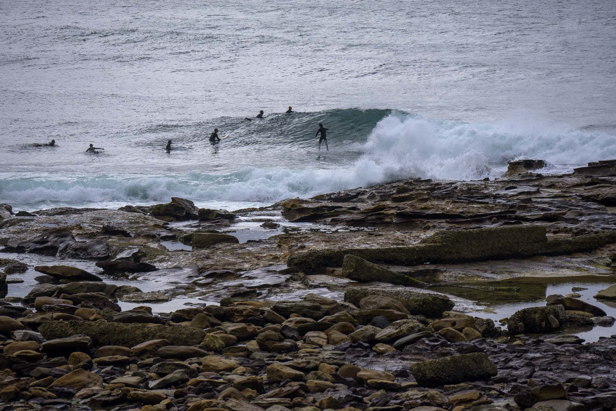
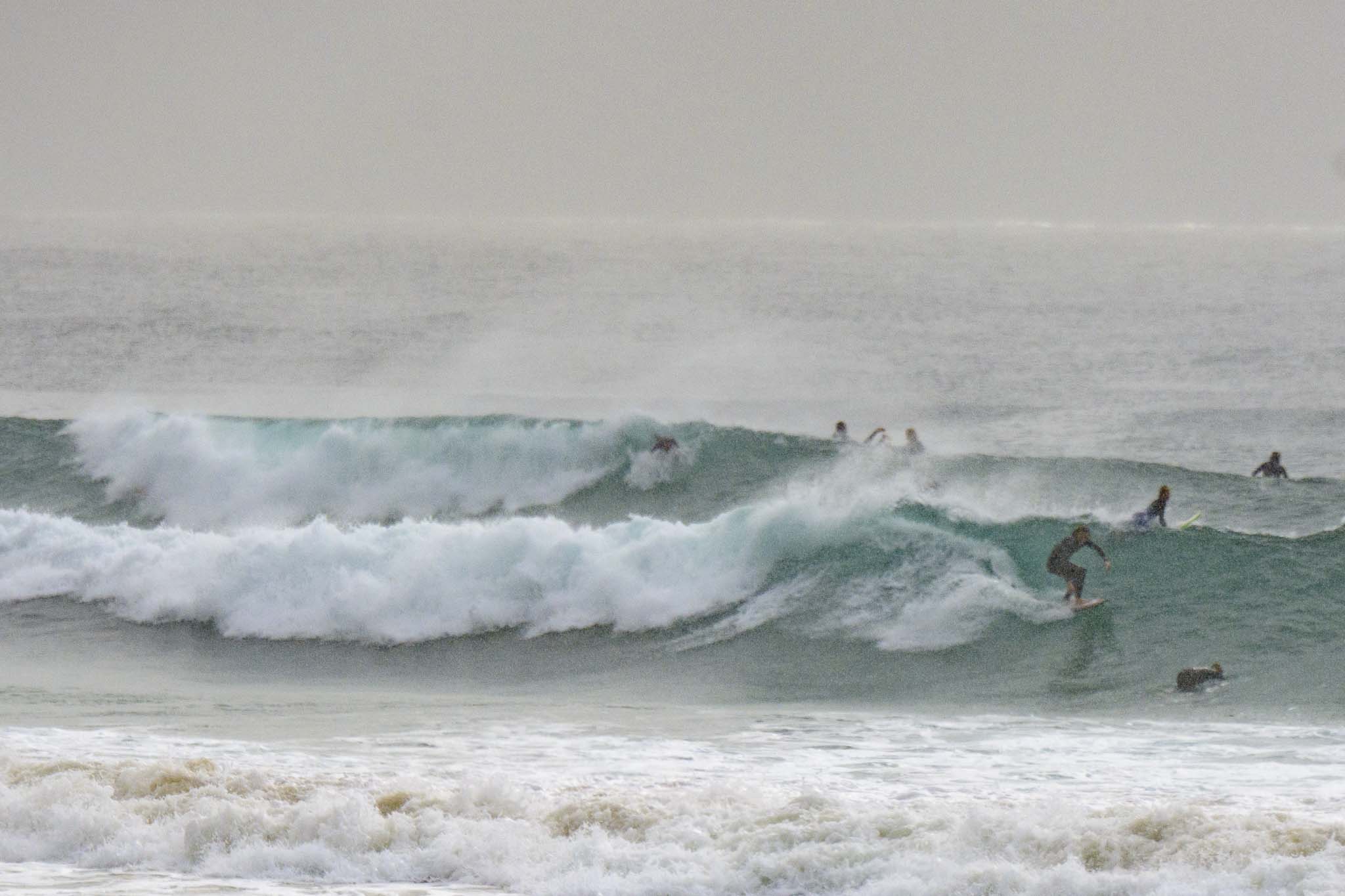
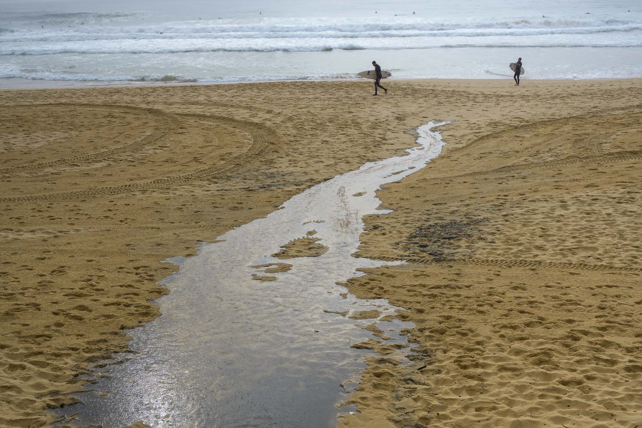
Passing showers this morning seem to have damped the crowds for the early session at Dee Why. Wind was WNW at 11-15kts before 0800, but the southerly was smashing into Wattamolla at 22-28 kts, so the comparatively approachable conditions were about to disappear.
It’s Thursday, so that means we can look forward to our weekly dose of surf wisdom from the mighty Goat later today. As always, I’m keen to see what he thinks about the coming week…
Take care everybody. NSW won’t hit effective 80% second dose coverage until sometime in late November, so a ways to go yet…
Weather Situation
South to southeasterly winds will ease during today and tend northeast to northwesterly by Saturday as the low pressure system over the Tasman Sea is replaced by a high pressure system. The winds then shift west to southwesterly in the south late Saturday with the passage of a cold front,
Forecast for Thursday until midnight
- Winds
- Southerly 10 to 15 knots turning east to southeasterly below 10 knots in the late afternoon.
- Seas
- Around 1 metre.
- Swell
- South to southeasterly around 2 metres.
- Weather
- Partly cloudy. 50% chance of showers.
Friday 17 September
- Winds
- Variable about 10 knots becoming north to northeasterly 15 to 25 knots in the middle of the day.
- Seas
- Below 1 metre, increasing to 1 to 2 metres during the afternoon.
- Swell
- Southeasterly 1.5 to 2 metres.
- Weather
- Mostly sunny.
Saturday 18 September
- Winds
- Northerly 20 to 30 knots turning westerly 15 to 20 knots during the evening.
- Seas
- 1.5 to 2.5 metres.
- Swell
- Southeasterly 1 to 1.5 metres.
- Weather
- Cloudy. 50% chance of showers. The chance of a thunderstorm in the afternoon and evening.


