Hello Friends,
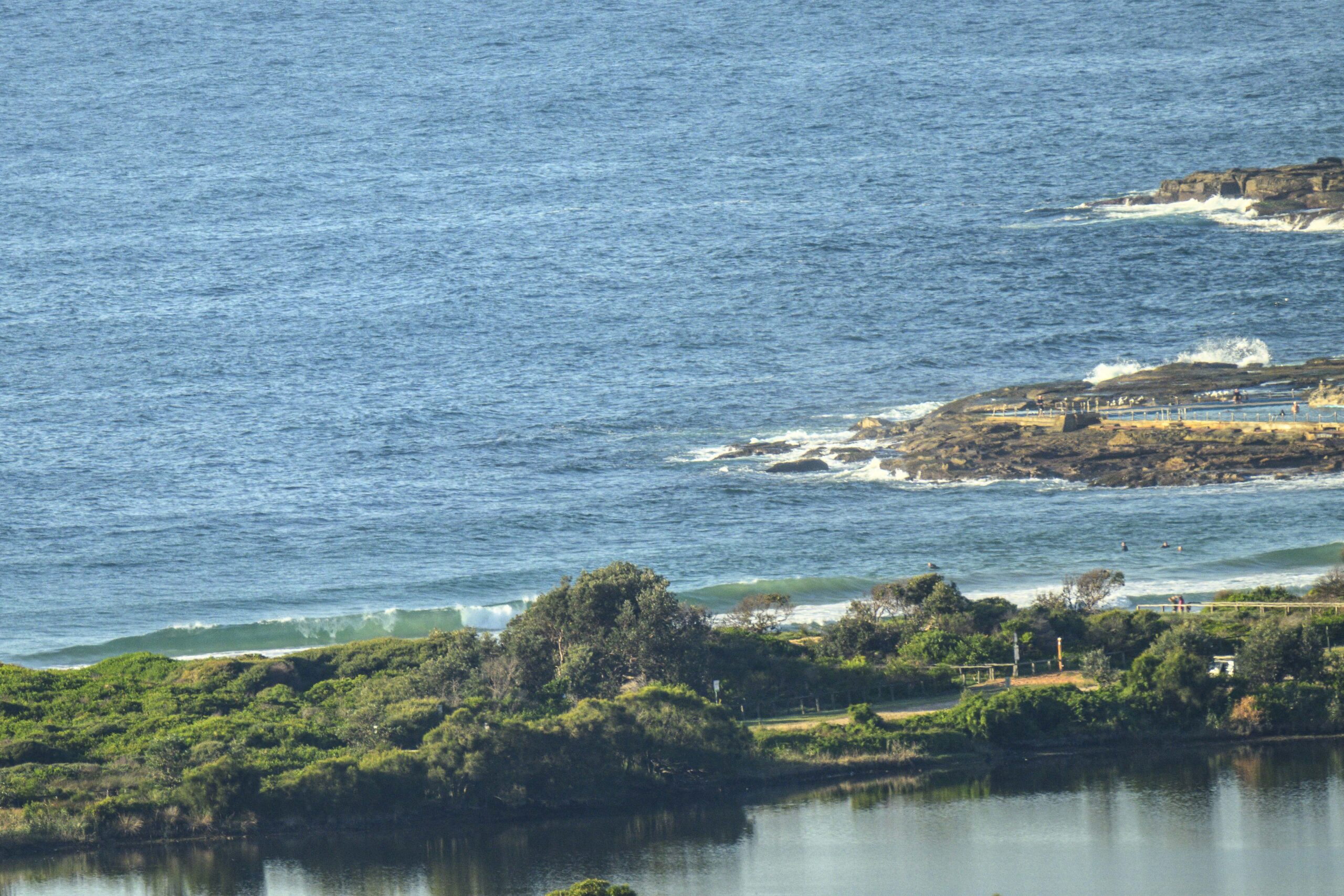
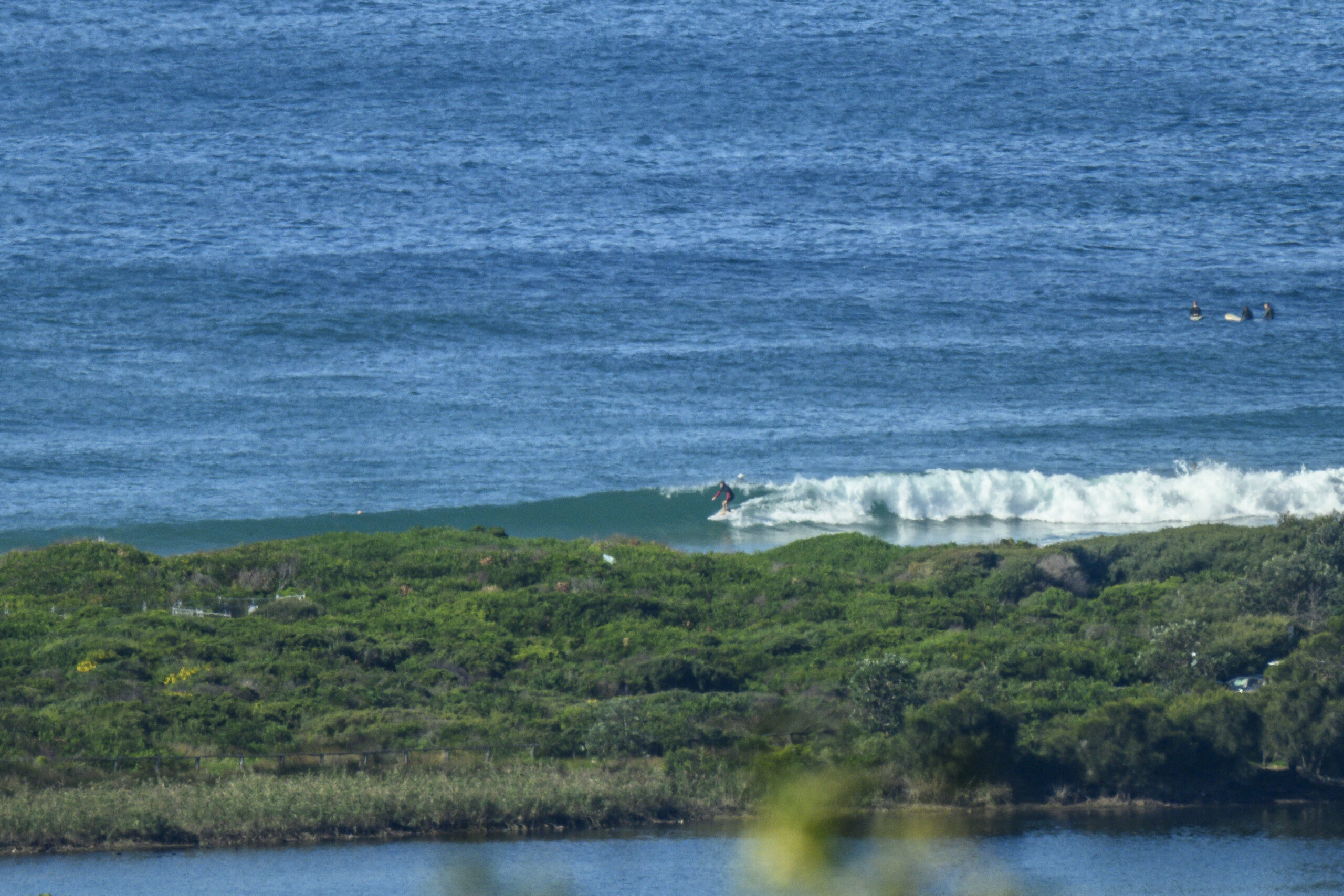
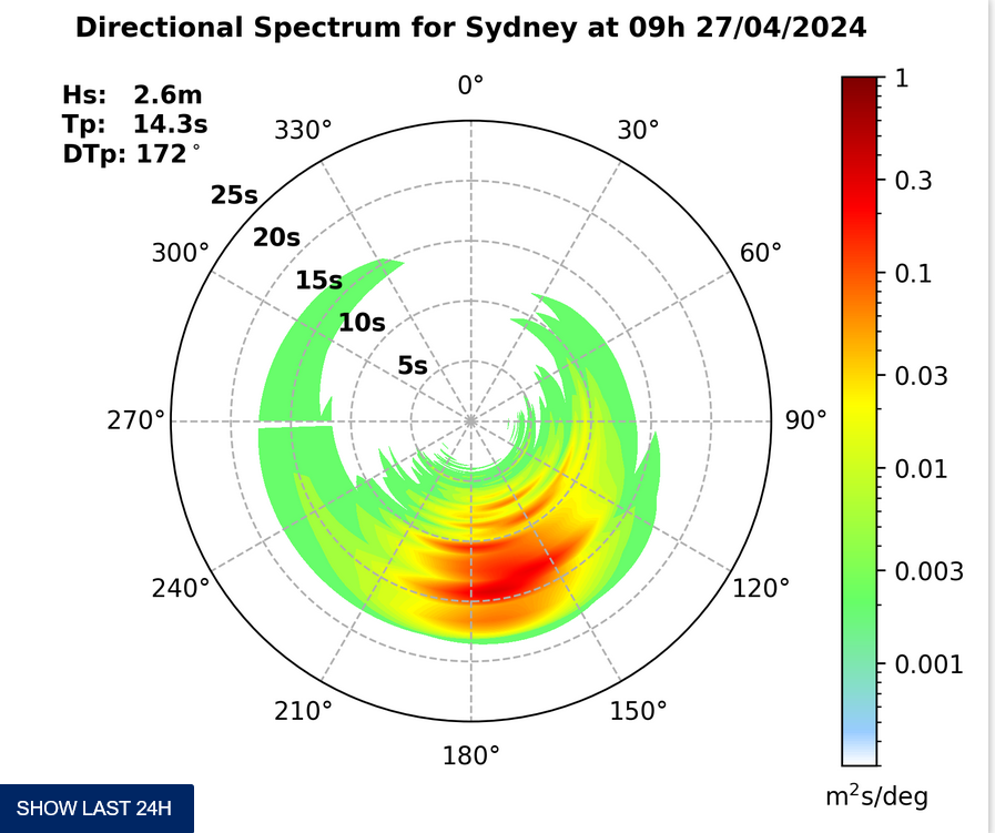
Rather tiny this morning, but that’s not surprising because there’s only a metre or so of short period (ie local) windswell. The breeze is out of the NW to start and as the day goes along it’s set to pick up before a south change comes through.
Sadly, it doesn’t look to me as though the change will do much of anything to improve the sub-waist high dribble now weakly washing in.
Latest advice from the Bureau is that a little low should spin up off the far south coast late this weekend and out of that we might get a small improvement to conditions.
The long range WAMs aren’t looking quite as interesting as yesterday, sadly. Oh well, Huey will be back soon…
Have fun and don’t tread on any wobbegongs! 😉
Synoptic Situation
A ridge of high pressure across the northeastern New South Wales will maintain generally east to northeast winds along northern coasts during the next few days. A southerly change will extend to the far southern New South Wales Coast early Friday, then move to the central coast in the afternoon before stalling on the Hunter coast in the evening. A low is expected to develop off the far south coast later Sunday.
Sydney Coastal Waters, Broken Bay to Port Hacking and 60nm seawards:
Friday until midnight: Wind: N/NW 15/20 knots, reaching 20/25 knots at times, ahead of a S change 20/25 knots later in the afternoon.Sea: 1 to 2 metres, rising to 2 to 2.5 metres following the S change.Swell: NE about 1 metre. Afternoon thunderstorms.
Saturday: Wind: SW/SE 15/20 knots tending E/NE 15/20 knots in the afternoon.Sea: 1 to 2 metres. Swell: E 1 to 1.5 metres.
Sunday: Wind: NW/NE 15/25 knots.


