

Hello Friends,
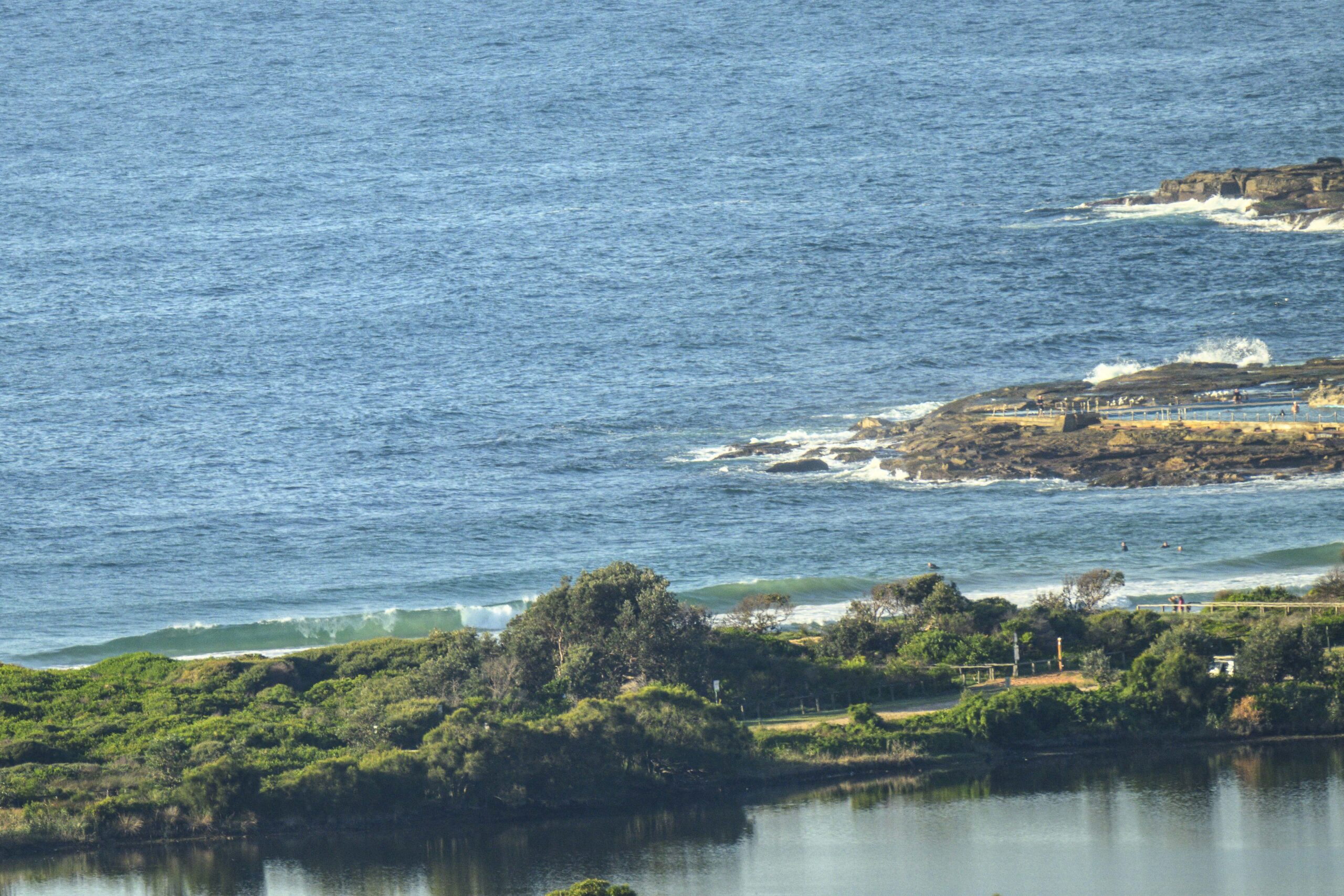
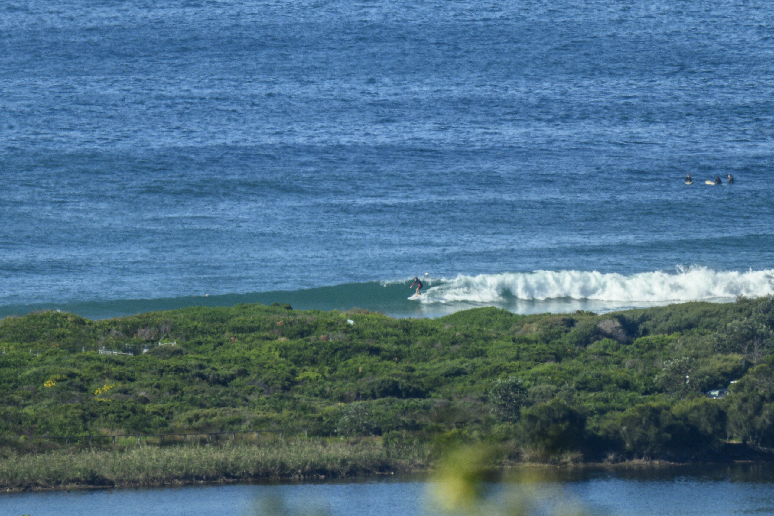
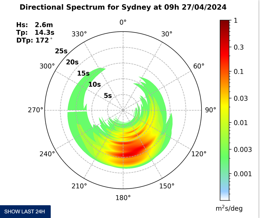
Gee, the numbers looked great this morning. SE swell at a touch over the 2.5 metre mark on average with a period of close to 14 seconds, plus a low tide, not much wind and sunny skies. It shoulda been so good… but it really wasn’t all that impressive. Yes, there are definitely some sizable sets with wave faces into the 10 foot range, but Dee Why at 0630 was rippy, lumpy and sectiony for the rapidly growing crowds at the peak and the point. I watched for around half an hour and in that time I didn’t see more than a couple sort of lefts in the beachy. The right looked possible, but the overwhelming impression was of weird rippy shutdowns. Low tide plainly not a happening thing. The point was a bit better, but the crowd to makeable section ratio was pretty skewed. Plus, like the beach, it was pretty lumpy. Maybe as the tide comes in to the high at 1220 it’ll get better, but then the NE’r will be doing its thing. Argh!
After deciding to leave Dee Why to the folks who aren’t as fortunate as I am about when they get to surf, I stopped by Collaroy for a look. Not too impressive. Again, the swell was delivering the odd shoulder plus lump, but the NE bumpiness was really pretty bad. You’d need to be extra keen.
Outlook is for the swell to fade away to marginal over the next 24-36 hours and then we’ll be back to a summery pattern again.
Find a north corner and be patient I’d say.
Have yourself a great Sunday one and all.
Forecast issued at 4:10 am EDT on Sunday 8 December 2013.
Weather Situation
A high pressure ridge over the western Tasman Sea is strengthening. On Monday night a cold front will bring a southerly change to New South Wales south coast as the high moves east maintaining the ridge to the north coast. This change is expected to extend to the far north coast Wednesday morning.
Forecast for Sunday until midnight
Winds
Northeasterly 15 to 20 knots tending northerly in the late evening.
Seas
Around 1 metre, increasing to 1.5 to 2 metres during the afternoon.
Swell
Southerly 1.5 to 2 metres.
Caution
Large and powerful surf conditions are expected to be hazardous for coastal activities such as crossing bars by boat and rock fishing.
Monday 9 December
Winds
Northerly 15 to 25 knots becoming variable about 10 knots in the morning then becoming north to northeasterly 15 to 20 knots in the late afternoon.
Seas
1 to 2 metres, decreasing below 1 metre during the morning, then increasing to 1 to 1.5 metres by early evening.
Swell
Southerly 1.5 to 2 metres, tending southeasterly 1.5 metres around dawn, then tending southerly 1 to 1.5 metres during the afternoon.
Tuesday 10 December
Winds
North to northwesterly 15 to 25 knots ahead of south to southeasterly change 15 to 20 knots during the day.
Seas
1 to 2 metres, decreasing below 1.5 metres during the morning.
Swell
East to southeasterly 1.5 to 2.5 metres, tending northeasterly 1 to 2 metres during the morning.
Please be aware
Wind gusts can be 40 percent stronger than the averages given here, and maximum waves may be up to twice the height.
Nearby Coastal WatersThis forecast is also available via scheduled broadcasts on marine radio.
Latest Coastal Observations
Tide Predictions
The next routine forecast will be issued at 4:05 pm EDT Sunday.
Product IDN11009


