Hello Friends,
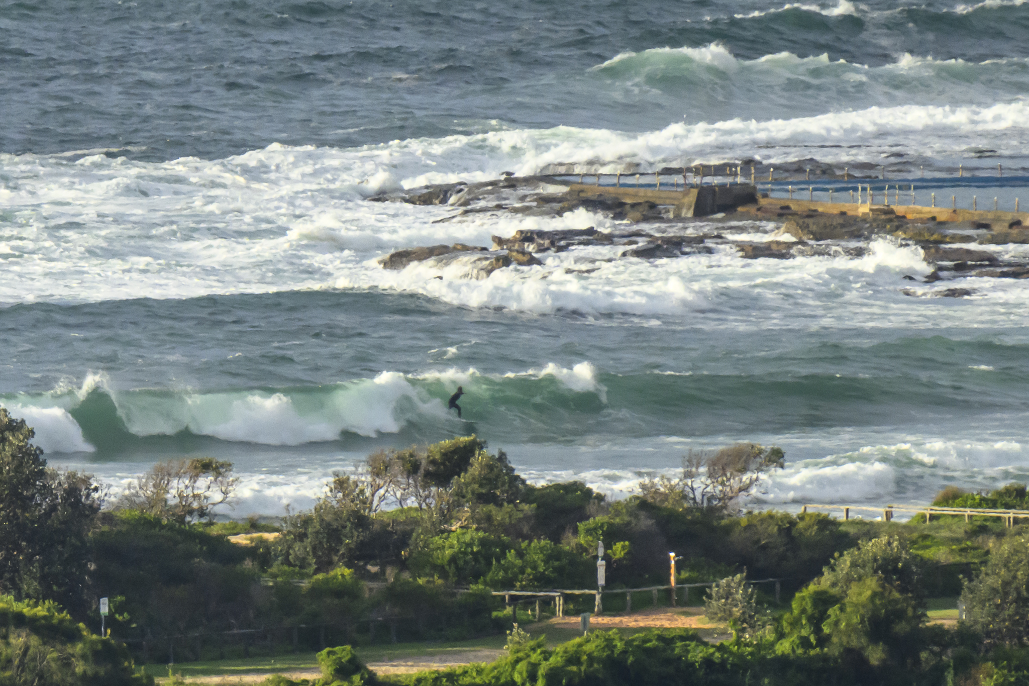
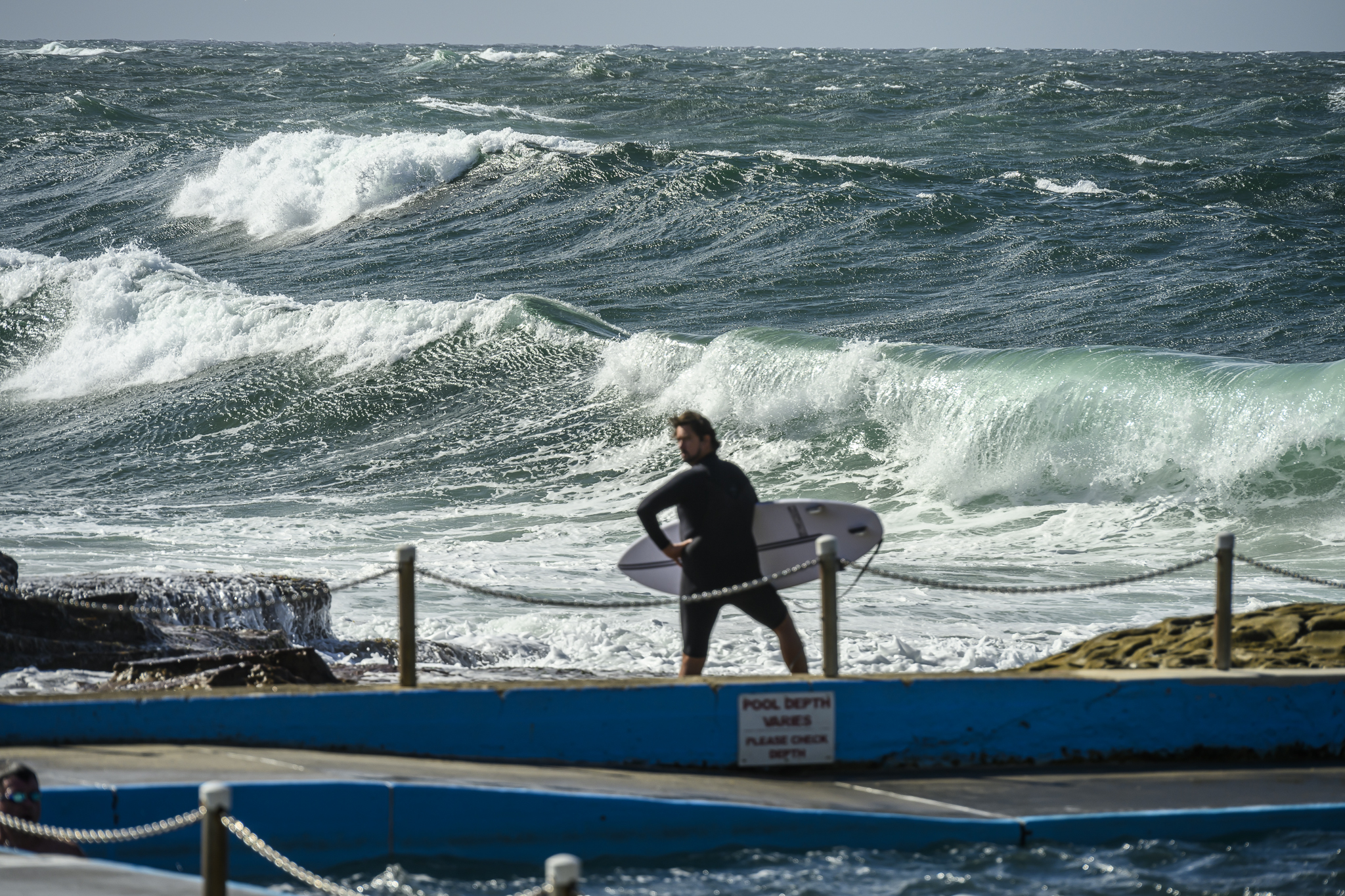
Had a look at Northy and Long Reef just as the change hit and the wind went more around to offshore. Swell is definitely showing, particularly at well exposed spots like Northy. Heaps of folks in the water, but whadya expect for a hotly anticipated swell – and a weekend? The ominous rumbling in the west put me off the idea of diving in for a late one, but as I write this less than an hour later, it seems to be clearing already.
Couldn’t see much by the time I got to Longy because it was raining too hard. What there was looked to be considerably smaller than around at Narrabeen.
Swell is only a touch bigger than this morning at 1.2 metres from the east as of 1500, but the period has jumped to a fun 10 seconds. Looking most promising!
Wind could be from the north for the early risers – and we’ll have a high tide – but as the day goes along, the Bureau tells us the wind will swing SW to W! The swell should be into the 2 metre range by then, but more importantly, the modelling is showing 14-second periods, so exposed spots could easily be overhead, maybe even double on the bombs.
My advice is not to make any promises for tomorrow – and have an early night!


Weather Situation
A weakening ridge extends from a high over the southern Tasman Sea to the northern New South Wales coast, while Ex-Tropical Cyclone Lusi is centred near northern New Zealand. An increasing easterly swell is developing between these two systems, and is expected to peak along the New South Wales coast during Sunday. Meanwhile, a trough and associated cold front approaching from the southwest will bring a southwest to southeasterly change to the southern coast on Sunday, extending to the north coast early Monday.
Forecast for Saturday until midnight
Winds
Northeasterly 15 to 20 knots, reaching up to 25 knots offshore in the evening. Winds tending northerly in the evening.
Seas
1.5 metres, increasing to 2 metres offshore.
Swell
Easterly 1.5 metres.
Sunday 16 March
Strong Wind Warning for Sunday for Sydney Coastal Waters
Winds
Northerly 15 to 25 knots shifting southwesterly in the morning then tending westerly 20 to 25 knots in the late evening. Winds reaching up to 30 knots offshore in the evening.
Seas
1 to 2 metres, decreasing below 1 metre during the morning, then increasing to 1 to 1.5 metres by early evening.
Swell
Easterly 1.5 to 2 metres.
Weather
Isolated thunderstorms from the late morning.
Caution
Deceptively powerful surf conditions are expected to be hazardous for coastal activities such as crossing bars by boat and rock fishing.
Monday 17 March
Winds
Southwesterly 15 to 25 knots becoming variable about 10 knots in the middle of the day then becoming northeasterly 10 to 15 knots in the late afternoon.
Seas
1 to 2 metres, decreasing below 1 metre during the morning.
Swell
Easterly 2 metres, decreasing to 1.5 metres by early evening.
Tuesday 18 March
Winds
Northerly 10 to 15 knots decreasing to about 10 knots during the morning then tending northeasterly 10 to 15 knots during the afternoon.
Seas
1 to 1.5 metres, decreasing below 1 metre during the evening.
Swell
Easterly 1.5 metres, decreasing to around 1 metre during the morning.
Please be aware
Wind gusts can be 40 percent stronger than the averages given here, and maximum waves may be up to twice the height.
Nearby Coastal WatersThis forecast is also available via scheduled broadcasts on marine radio.
Latest Coastal Observations
Tide Predictions
The next routine forecast will be issued at 4:10 am EDT Sunday.


