Hello Friends,
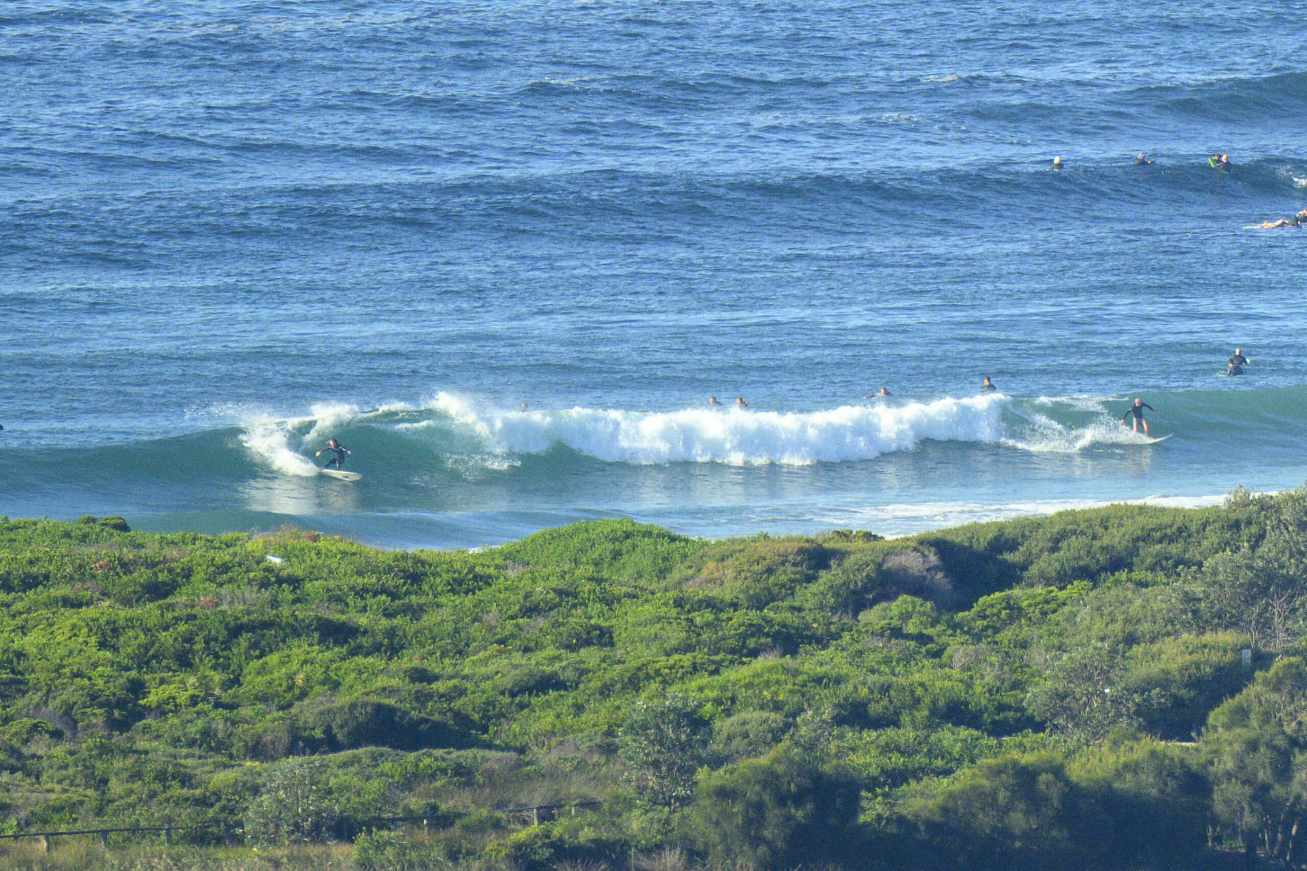
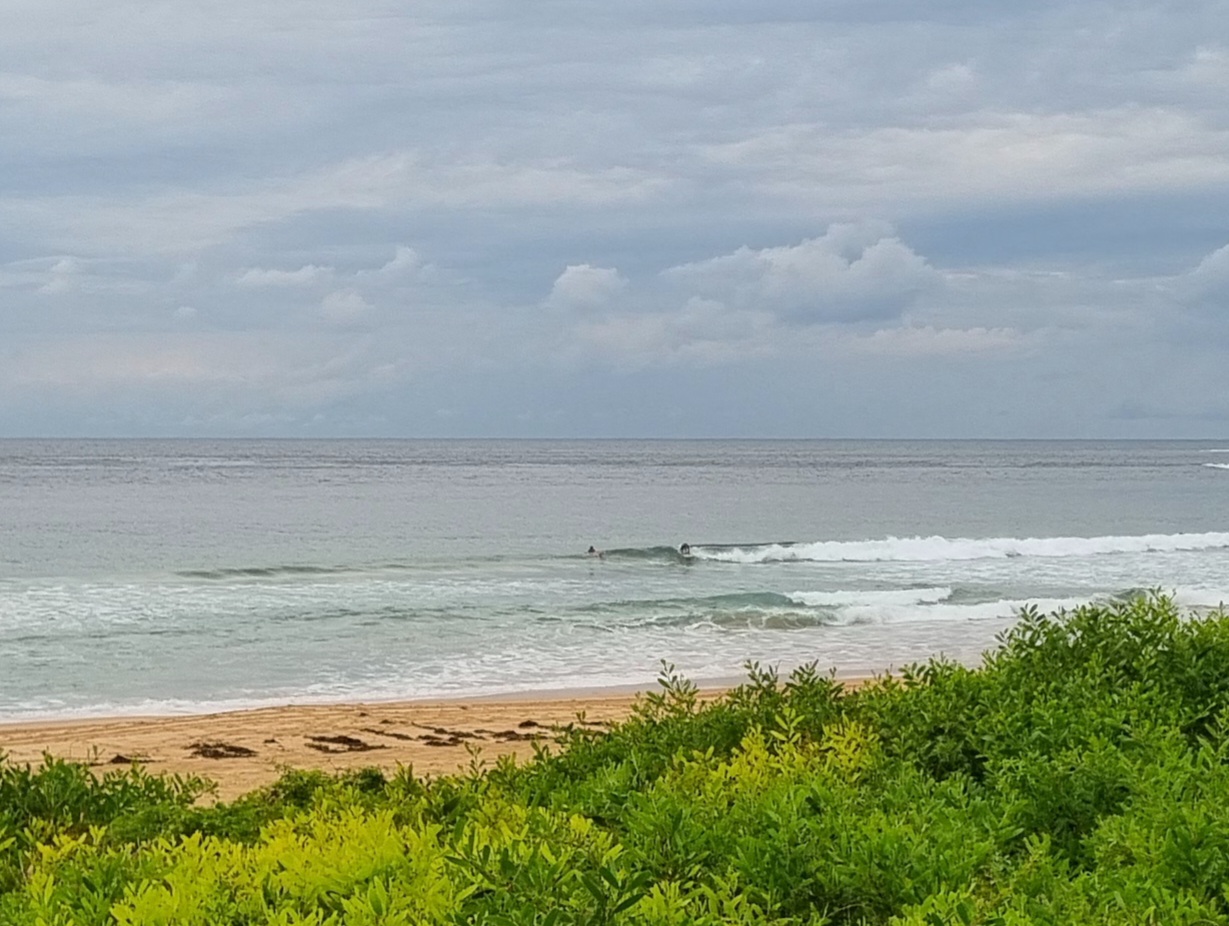
Interesting combo of short period NE wind chop and a SSE swell. According to the MHL data, the SSE is close to a 2 metres at 10+ seconds, but looking at Dee Why this morning, there’s minimal evidence of the south component. Kinda weird. Wind at the RealSurf crows nest as of 0700 was pushing along at 5-10kts. As you can see from the pictures, it was making surface conditions fairly choppy. I didn’t see anything above about knee to waist high showing at the beach (the point was smaller still). Tide was just about low at that point and will be high just on 1400.
There’s definitely more activity this morning, but that said, you’ll be doing very well to find something worth the effort. The various forecast models are in general agreement that surf prospects aren’t good for today but there might be a slight improvement tomorrow and Thursday could see another step up in energy levels – potentially into the surfable range.
There are indications that this coming weekend could see a south wind affected southerly pulse into the shoulder-head high range at exposed spots. And, it might last into Monday.
Get through those obligations today I’d say.
Go well!


Weather Situation
A relatively weak low pressure system over western Victoria extends a trough northwards over eastern NSW. This system will move steadily east today with the trough crossing NSW coastal waters later this afternoon and evening and the low moving through eastern Bass Strait and deepening somewhat during this time. The low is expected to move slowly to the southeast and intensify further during Wednesday while a cold front moves northeast from the Southern Ocean across Tasmania then southeast NSW. Fresh to strong southwest winds are expected for southern and central waters on this day. Another cold front or trough is likely to pass near southeast NSW on Thursday and Friday, and combined with a slow moving high south of Adelaide, is likely to bring fresh to strong southwest to southerly winds to much of the coast, particularly southern and central areas. A southerly swell is also expected to increase late in the week.
Forecast for Tuesday until midnight
- Winds
- Northeasterly 15 to 25 knots shifting westerly in the evening.
- Seas
- 1.5 to 2 metres, decreasing below 1.5 metres during the afternoon, then increasing to 1.5 to 2 metres later in the evening.
- Swell
- Southerly around 1 metre.
- Weather
- The chance of thunderstorms until later tonight.
Wednesday 17 September
- Winds
- West to southwesterly 15 to 20 knots, reaching up to 25 knots offshore early in the morning and again in the evening.
- Seas
- 1.5 to 2 metres, decreasing below 1.5 metres around midday, then increasing to 1.5 to 2.5 metres by early evening.
- Swell
- Southerly 1 to 1.5 metres, decreasing to around 1 metre around midday.
Thursday 18 September
- Winds
- West to southwesterly 15 to 25 knots becoming variable about 10 knots during the afternoon then becoming westerly 15 to 20 knots during the evening.
- Seas
- 1 to 2 metres, decreasing to 1 metre during the afternoon.
- Swell
- Southerly 1 to 1.5 metres, increasing to 1.5 to 2.5 metres during the morning.
Please be awareWind gusts can be 40 percent stronger than the averages given here, and maximum waves may be up to twice the height.


