
Hello Friends,
Cloudy skies and light SW breezes to begin with today. Wind should go around to the NE in due course, but not get up to much above standard issue sea breeze strength.
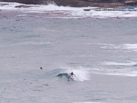
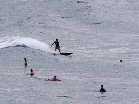
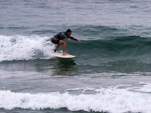
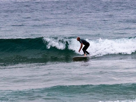
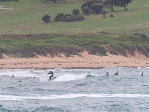
Swell is ESE at about a metre with an average period of only 7 seconds or so. That means weak and gutless dribble in the knee to waist range at magnet spots. As the pictures show, I had a look at Curly and Dee Why this morning. In both cases there were a few soft little peaks on offer for the keen crews. From what I saw, the south ends were marginally more consistent and a touch bigger on average.
It was just on high tide when I grabbed the pics (0830). Low tide will be at 1455 and according to Beachwatch, water temp is 23C.
Outlook for the next couple of days is for a south change tomorrow around midday. The models show it bringing us a new pulse from the south, but the wind’ll be on top of it, so maybe not the best prospects.
Friday currently looks a bit more interesting for the morning session at south magnet spots. We could be looking at chest plus – and the wind should be going from the southern quarters more to the west and NW. And Saturday looks like being as good or better for the morning crew. So… here’s hoping!
Next week looks like more of the same, but the very long range models are shaping up pretty favorably for the following week… highly speculative of course, but always nice to see such things in the outlook.
Go well with your Wednesday everyone!
Weather Situation
A high pressure ridge over the Tasman Sea is weakening and a cold front will bring vigorous southerly change along New South Wales coast during Thursday. Winds are expected to ease during Friday as another ridge develops across the Tasman Sea.
Forecast for Wednesday until midnight
- Winds
- Northeasterly 10 to 15 knots turning northerly in the late evening.
- Seas
- Around 1 metre.
- Swell
- Easterly below 1 metre.
- Weather
- Cloudy. 50% chance of showers in the morning and early afternoon.
Thursday 5 March
Strong Wind Warning for Thursday for Sydney Coast
- Winds
- North to northwesterly 10 to 15 knots shifting southerly 15 to 25 knots in the middle of the day. Winds reaching up to 30 knots during the afternoon and evening.
- Seas
- Around 1 metre, increasing to 2 to 3 metres during the morning.
- Swell
- Southerly around 1 metre, tending southeasterly 1 to 1.5 metres by early evening.
- Weather
- Partly cloudy. 40% chance of showers. The chance of a thunderstorm offshore in the early morning.
Friday 6 March
- Winds
- Southerly 10 to 15 knots tending west to northwesterly 15 to 20 knots during the morning then tending east to southeasterly 10 to 15 knots during the afternoon.
- Seas
- Around 1 metre, increasing to 1 to 1.5 metres offshore.
- Swell
- Southeasterly 1.5 metres, tending southerly 1.5 to 2.5 metres during the morning.
- Weather
- Mostly sunny. 20% chance of a shower.


