
Hello Friends,
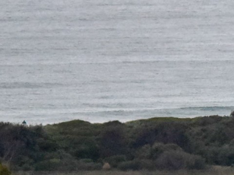
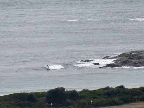
Swell has ramped up way out at sea but because it’s coming mainly from the SSW and has a period of less than 9 seconds, we weren’t seeing much of anything as the day got started at Dee Why.
The Bureau says the swell will pick up during the morning and be into the 2.5-3 metre range around midday, but at the same time, the wind will have come around to the SE and be heading into the gale strength conditions of 30-40 kts.
Wind will stay southerly through the weekend, but will gradually weaken, so maybe there’ll be coincidence that will work for you somewhere at some point before the swell fades out again overnight Sunday into Monday.
Tide’s coming in now and will be high at 1130.
Have a great Friday!
…
…
Weather Situation
A complex low pressure system is expected to deepen over the western Tasman Sea today. A trough extending from the low to near the NSW south coast is expected to intensify and move to the north during the day, bringing strong to gale-force southerly winds to much of the NSW coast. The low and trough are expected to move fairly rapidly away to the east later tonight and during Saturday as a strong high pressure system moves towards Victoria. The high should move over eastern NSW during Sunday.
Forecast for Friday until midnight
Gale Warning for Friday for Sydney Coast
Winds
Southwesterly 20 to 30 knots shifting south to southeasterly 30 to 40 knots during the morning.
Seas
2 to 3 metres, increasing to 3 to 4 metres by around midday.
Swell
Southerly 1.5 to 2 metres, increasing to 2.5 to 3 metres around midday, then increasing to 3 to 4 metres later in the evening.
Weather
Cloudy. 95% chance of rain. The chance of a thunderstorm in the morning and afternoon.
Caution
Large and powerful surf conditions are expected to be hazardous for coastal activities such as crossing bars by boat and rock fishing.
Saturday 23 May
Strong Wind Warning for Saturday for Sydney Coast
Winds
Southerly 25 to 30 knots decreasing to 15 to 25 knots in the morning.
Seas
2 to 3 metres, decreasing to 1.5 to 2 metres around midday.
Swell
Southerly 2 to 3 metres.
Weather
Cloudy. 60% chance of showers.
Caution
Large and powerful surf conditions in the morning are expected to be hazardous for coastal activities, such as crossing bars by boat and rock fishing.
Sunday 24 May
Winds
Southerly 15 to 20 knots decreasing to about 10 knots during the evening.
Seas
1 to 1.5 metres.
Swell
Southerly 1.5 to 2 metres.
Weather
Partly cloudy. 20% chance of a shower.


