Hello Friends,
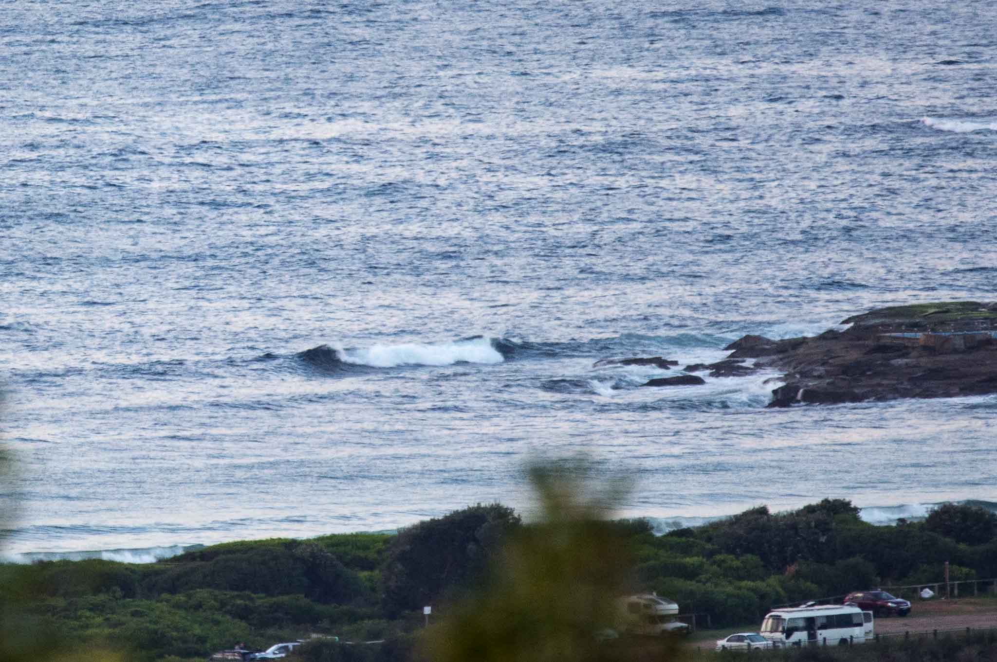
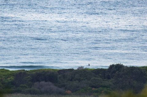
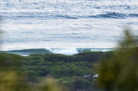
Swell’s out of the south at 9 seconds apart but for whatever reason it really seems to be missing Dee Why as it’s 1.7 metres at sea, but faces would struggle to be much above a metre inshore. Wind’s light and although it’ll come around to the east-SE later it’s expected to be around 10 kts.
The Goat’ll be along later today with his thoughts on the prospects, but my general take is we’re not going to see anything of real interest for a few days yet.
Have yourself a great Thursday one and all!
Tide Low at 0940, high at 1600.

Weather Situation
A large high pressure system over southeast Australia is moving steadily east and should be centred over the Tasman Sea by Friday. South to southeast winds should tend north to northeasterly as the ridge pushes north along the coast. A cold front is expected to reach the south coast late Saturday and the remainder of the coast on Sunday.
Forecast for Thursday until midnight
Winds
East to southeasterly about 10 knots.
Seas
Below 1 metre.
Swell
Southerly 1.5 metres.
Weather
Partly cloudy. 40% chance of showers.
Friday 5 May
Winds
East to northeasterly about 10 knots.
Seas
Below 1 metre.
Swell
Southerly 1 to 1.5 metres, decreasing to around 1 metre later in the evening.
Weather
Partly cloudy. 30% chance of a shower.
Saturday 6 May
Winds
Northerly 10 to 15 knots turning northwesterly 15 to 20 knots during the evening.
Seas
Around 1 metre, increasing to 1 to 1.5 metres offshore during the evening.
Swell
Southerly around 1 metre.
Weather
Mostly sunny.
Please be aware
Wind gusts can be 40 percent stronger than the averages given here, and maximum waves may be up to twice the height.
Nearby Coastal Waters


