Hello Friends,
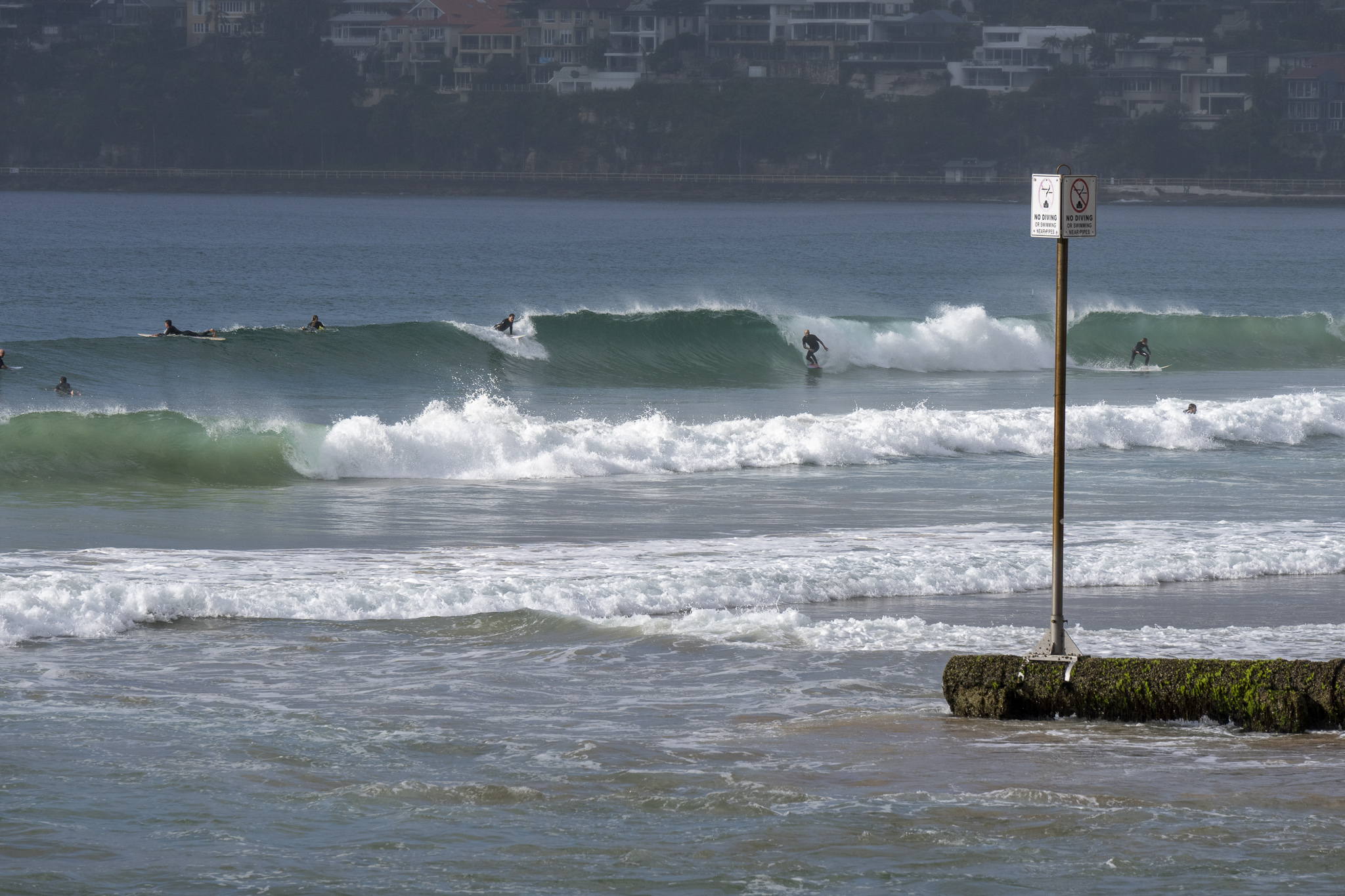
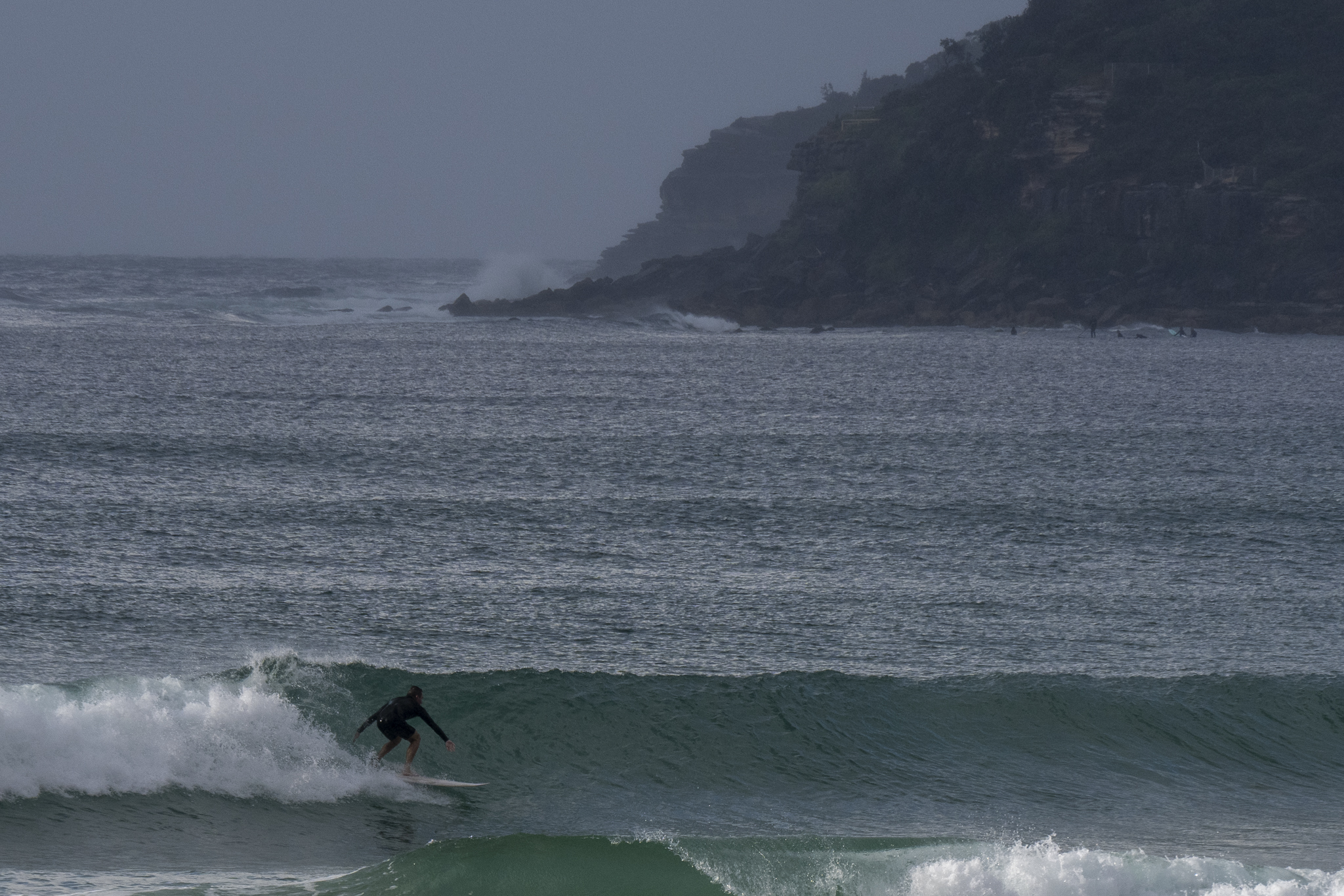
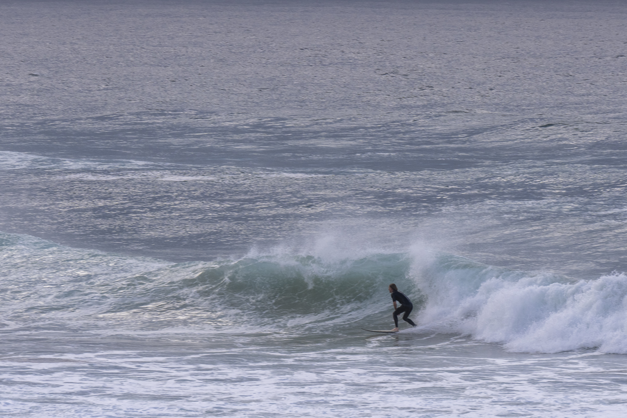
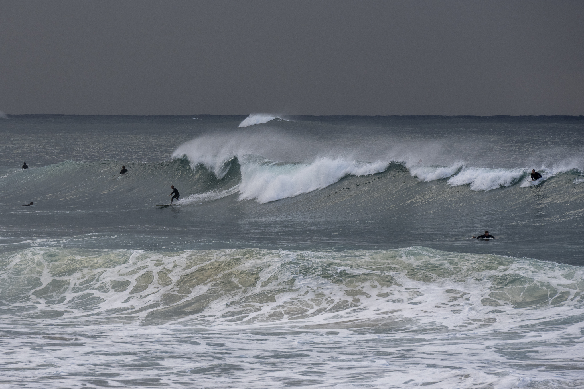
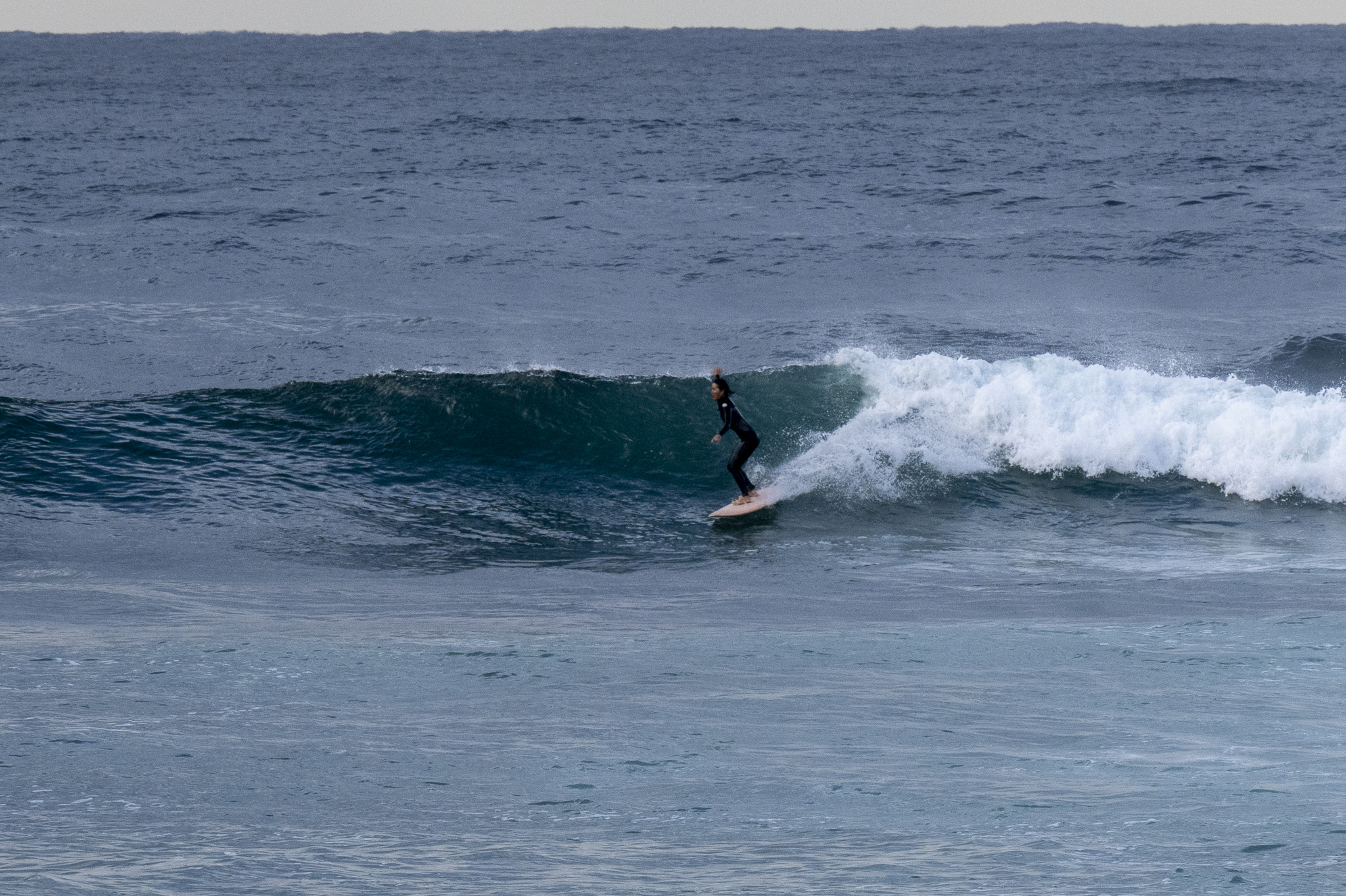
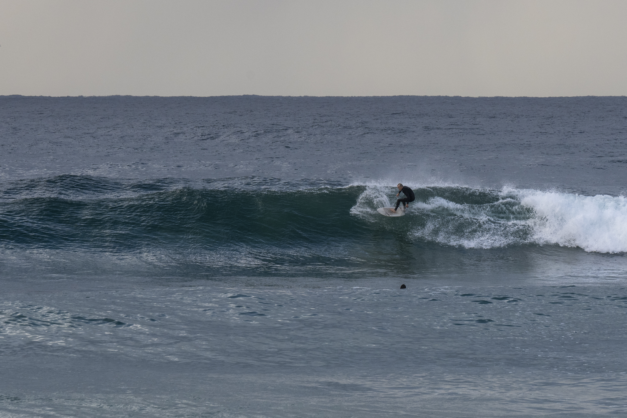
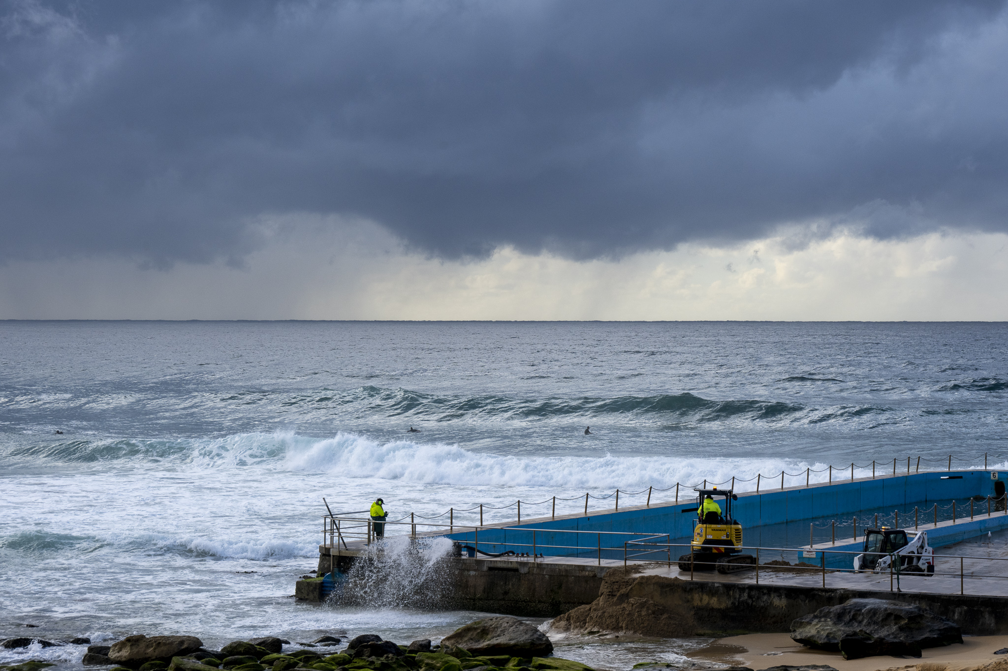
Showery morning with light SW wind as Monday kicked off. As the pictures show, we also have waves into the shoulder to head-high range at the best exposures. Swell at sea was 2 metres at 11 seconds from the SSE (162°). Water’s clean and a freakish 24C – 4C above today’s predicted high. Tide was low at 0900 and will be back to a modest 1.23m high at 1510.
Outlook is for waves all week – and beyond, but the wind call is for onshores Tuesday to Thursday. On Friday the call is for light northerly wind and the same, but stronger on Saturday. Swell heights are expected to be in the 2+ range from around Thursday through to Saturday.
Go well!
Weather Situation
East to southeasterly winds, will tend east to northeasterly and become fresh to strong by midweek as a high pressure system strengthens and slowly moves into the southern Tasman Sea.
Forecast for Monday until midnight
- Winds
- South to southeasterly 10 to 15 knots.
- Seas
- Below 1 metre.
- 1st Swell
- Southerly 1 to 1.5 metres inshore, increasing to 1 to 2 metres offshore.
- 2nd Swell
- Easterly around 1 metre.
- Weather
- Cloudy. 95% chance of showers.
Tuesday 10 May
- Winds
- Easterly 15 to 20 knots.
- Seas
- Around 1 metre.
- 1st Swell
- Southerly 1 to 1.5 metres, decreasing to around 1 metre during the morning.
- 2nd Swell
- Easterly around 1 metre.
- Weather
- Partly cloudy. 80% chance of showers.
Wednesday 11 May
- Winds
- Easterly 15 to 20 knots turning northeasterly 15 to 25 knots during the evening.
- Seas
- 1 to 1.5 metres.
- Swell
- Easterly around 1 metre.
- Weather
- Cloudy. 80% chance of showers.


