Hello Friends,
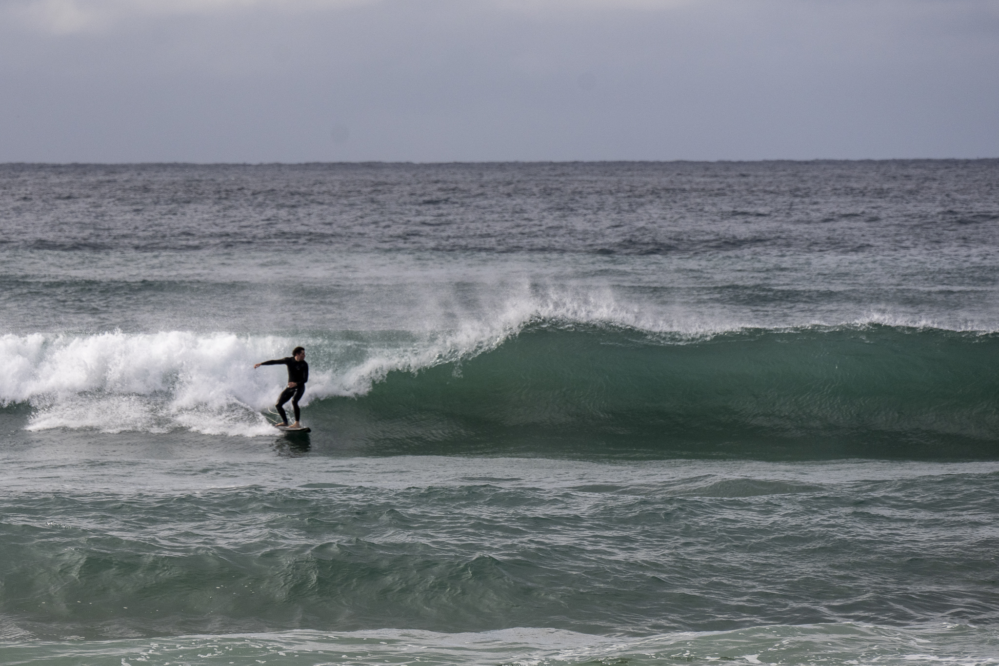
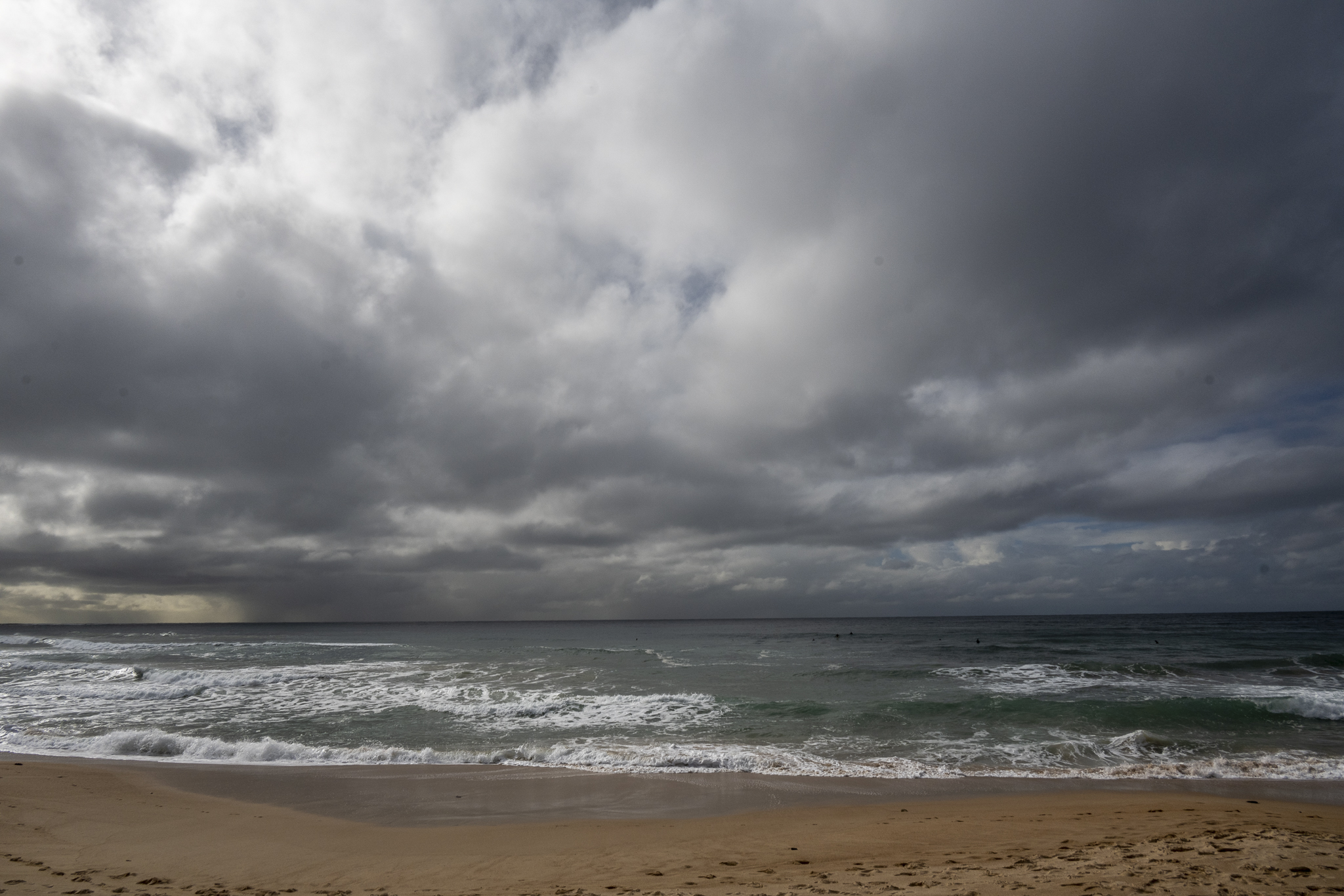
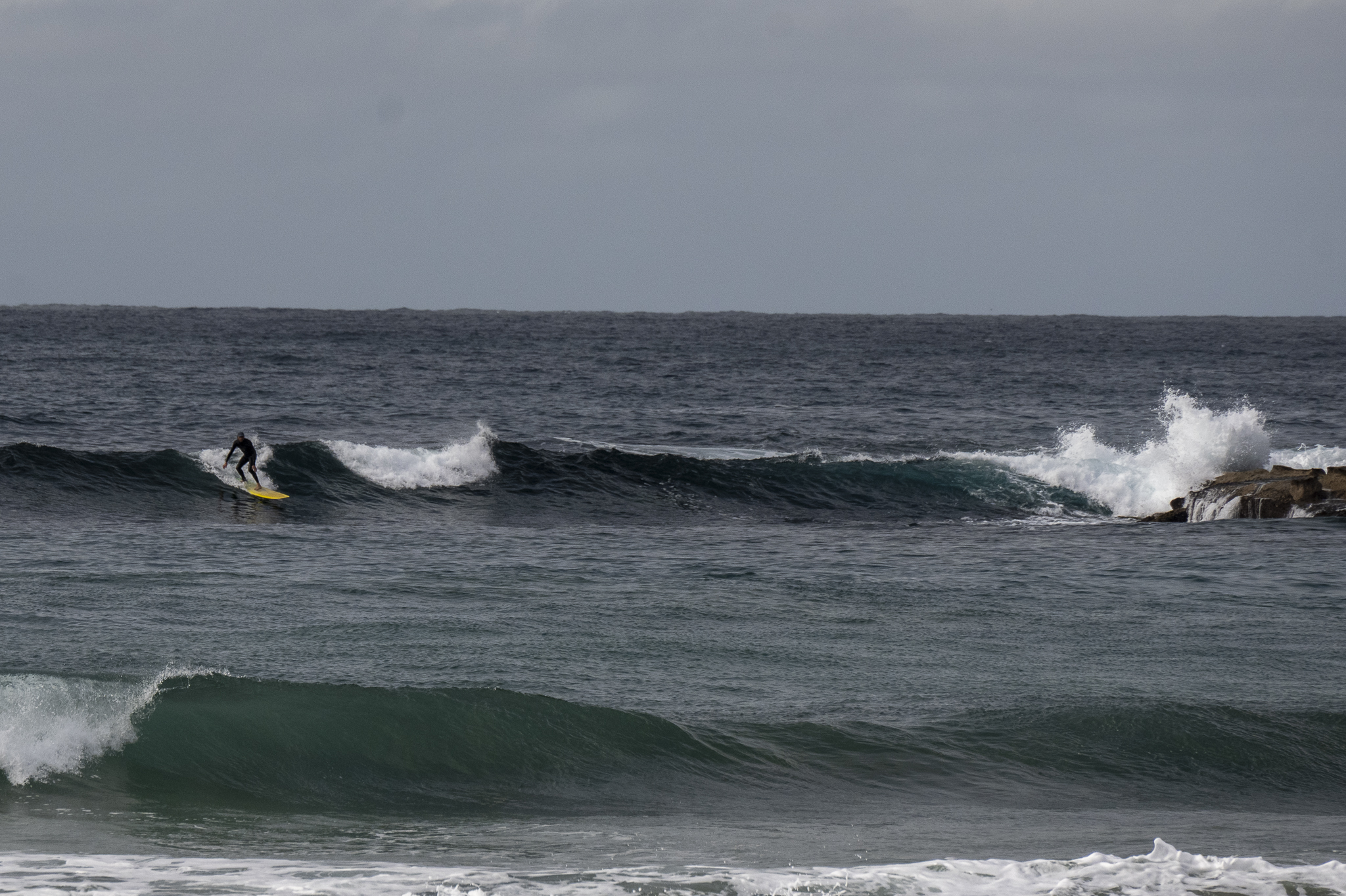
Swell’s still around the 2 metre mark out at sea and coming from the SSE, but the period is now 8 seconds, so set wave faces are mostly below shoulder high. Plus it was rather inconsistent and a bit tide affected when I checked. Wind as of 0900 when the pics were taken, was WSW 8-12 kts. Tide was a moderate 1.3 m high at 0745 and will be back to the 0.5m low at 1320. Air and sea temps are sitting on 18C.
Good news, the Mighty Goat has taken a look at the surf prospects for us. Have a read here.
And go well with your day!
Weather Situation
Fresh southerly winds will gradually ease today as a trough moving along the coast weakens and moves away to the east. Later Friday and during Saturday, a high pressure system will reach the southern Tasman Sea, causing winds to gradually turn east to northeasterly. Winds are then expected to tend northerly and increase on Sunday and Monday as a trough approaches from the west.
Forecast for Friday until midnight
- Winds
- Southerly 15 to 25 knots.
- Seas
- 1 to 2 metres, decreasing below 1.5 metres during the morning, then decreasing to 1 metre by early evening.
- Swell
- Southerly 1.5 to 2 metres, decreasing to 1.5 metres during the afternoon.
- Weather
- Partly cloudy. 95% chance of showers.
Saturday 27 August
- Winds
- South to southeasterly 10 to 15 knots then tending easterly about 10 knots during the afternoon then northeasterly 10 to 15 knots in the late evening.
- Seas
- Below 1 metre.
- 1st Swell
- Southerly 1 to 1.5 metres, decreasing to around 1 metre around midday.
- 2nd Swell
- Southeasterly around 1 metre.
- Weather
- Mostly sunny. 80% chance of showers.
Sunday 28 August
- Winds
- North to northeasterly about 10 knots increasing to 15 to 20 knots during the day.
- Seas
- Around 1 metre.
- Swell
- East to southeasterly around 1 metre.
- Weather
- Mostly sunny.


