Hello Friends,
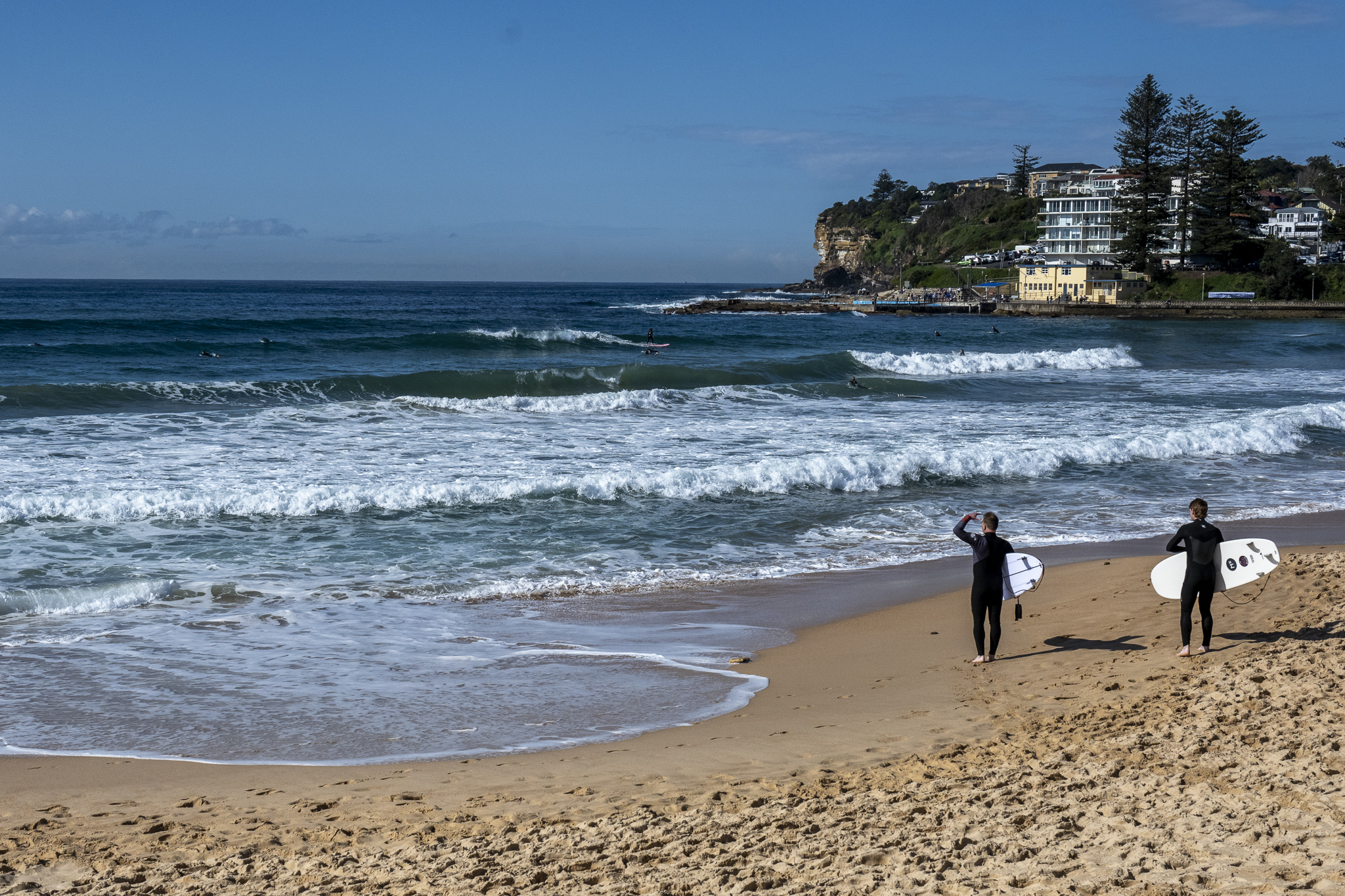
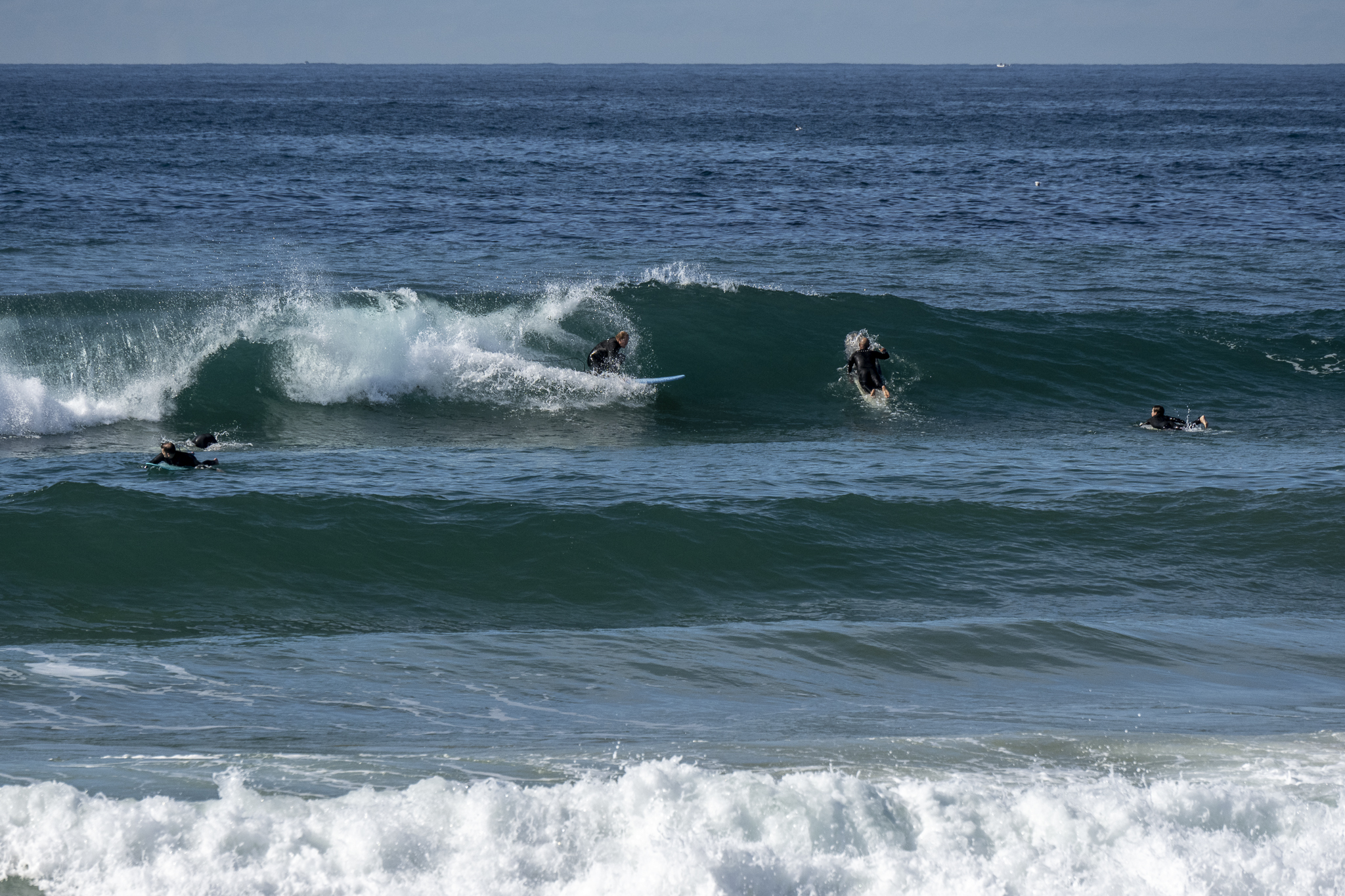
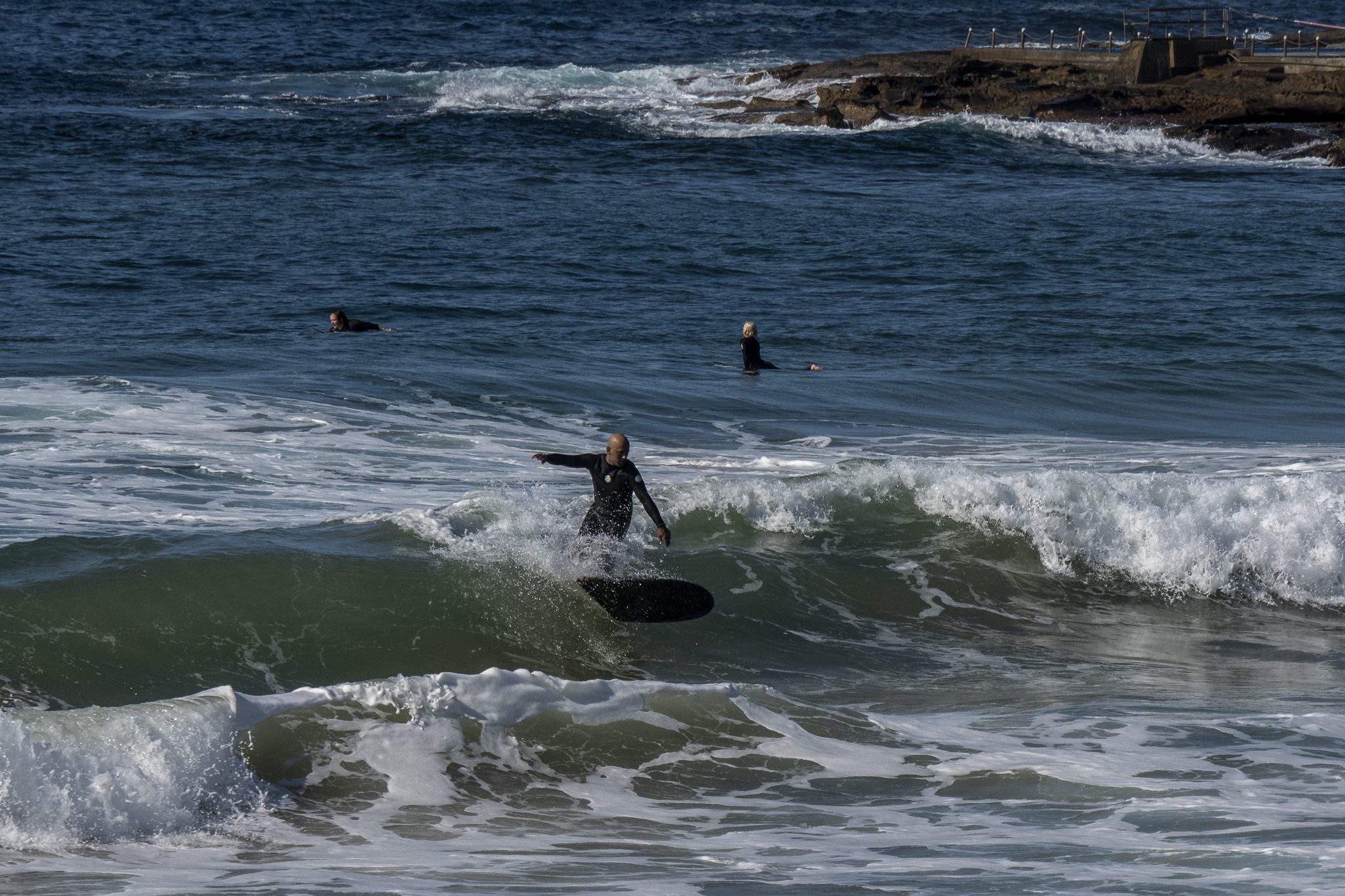
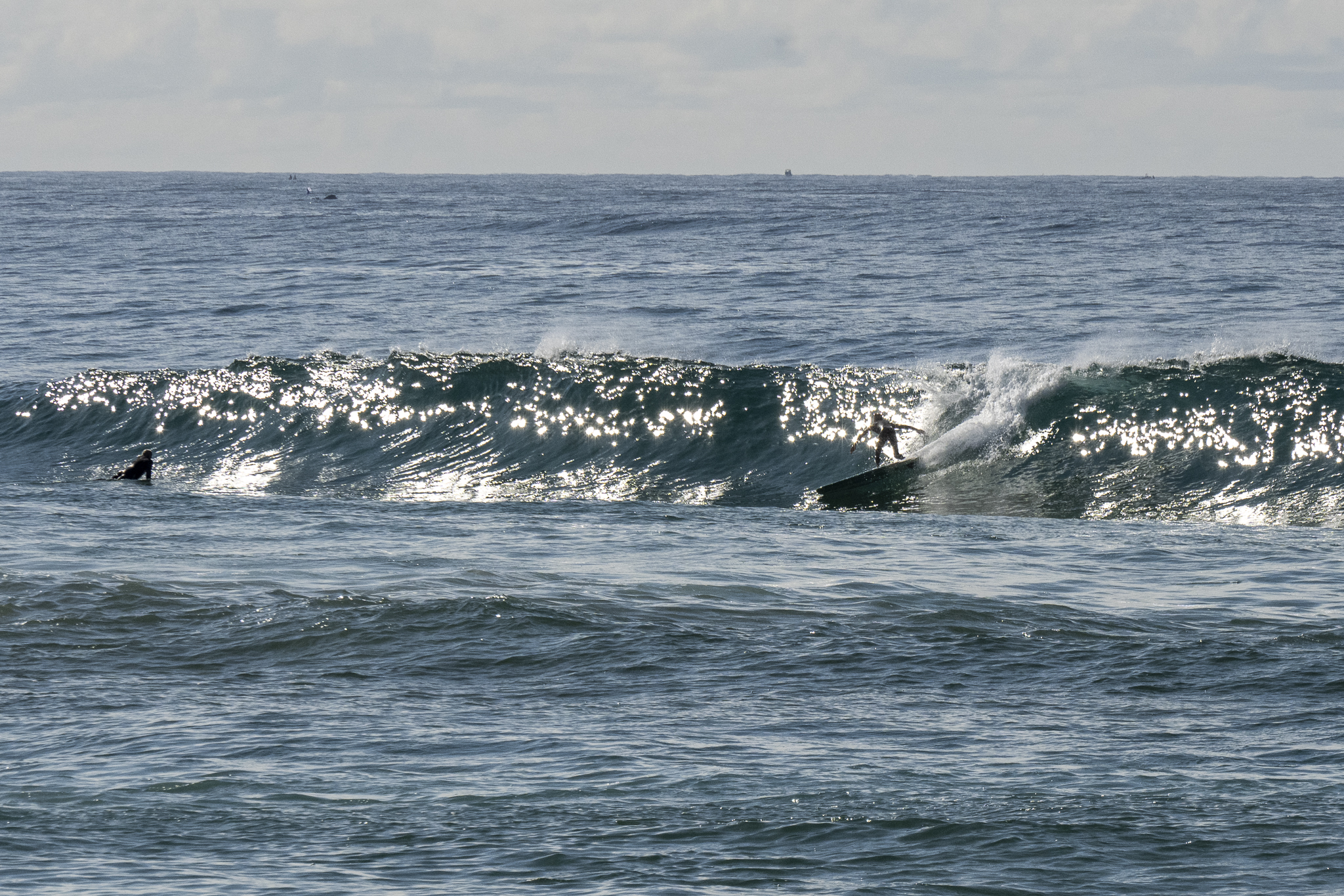
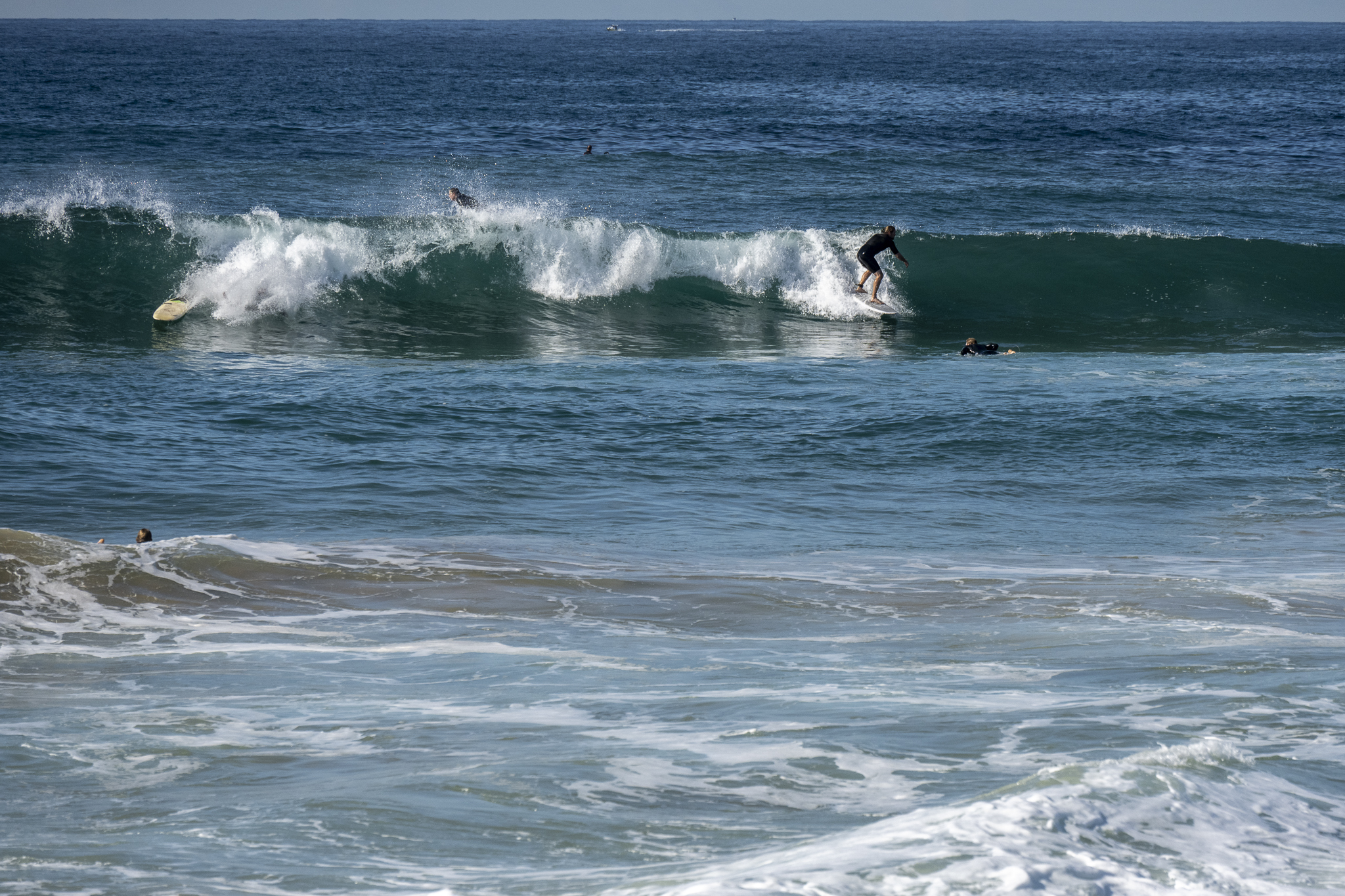
A mild and pretty Sunday morning with some soft looking but occasionally chest high wave faces to be had at the focal points along the better south exposures. At Dee Why the waves had a somewhat disorganised look but there were definitely workable sections – particularly on the take off. Swell at sea was 1.3 metres at 9 seconds from 173°.
Outlook is for it to fade to near flat by tomorrow and right now it looks like it might stay micro until next weekend.
Have a great Sunday everyone and stay safe!
Weather Situation
A high pressure system over the southern Tasman Sea extending a ridge across coastal New South Wales with north to northeasterly winds. Northerly winds are expected to increase during today and Monday, and then shift southwesterly on Tuesday, as a trough approaches and then crosses the state.
Forecast for Sunday until midnight
- Winds
- North to northeasterly about 10 knots increasing to 15 to 20 knots in the middle of the day. Winds tending northwesterly below 10 knots inshore until mid morning.
- Seas
- Below 1 metre, increasing to 1 to 1.5 metres by early evening.
- Swell
- East to southeasterly around 1 metre.
- Weather
- Mostly sunny.
Monday 29 August
Strong Wind Warning for Monday for Sydney Coast
- Winds
- Northerly 15 to 20 knots, reaching up to 30 knots offshore in the evening.
- Seas
- 1 to 1.5 metres, increasing to 1.5 to 2.5 metres during the afternoon.
- Swell
- Southerly below 1 metre.
- Weather
- Partly cloudy.
Tuesday 30 August
- Winds
- Northerly 15 to 25 knots shifting west to southwesterly 15 to 20 knots during the afternoon.
- Seas
- 1 to 2 metres, decreasing to 1 metre during the afternoon.
- Swell
- Northeasterly around 1 metre.
- Weather
- Mostly sunny. 50% chance of showers. The chance of a thunderstorm


