Hello Friends,
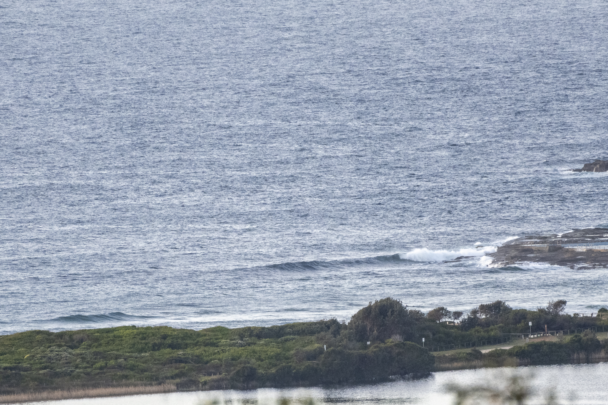
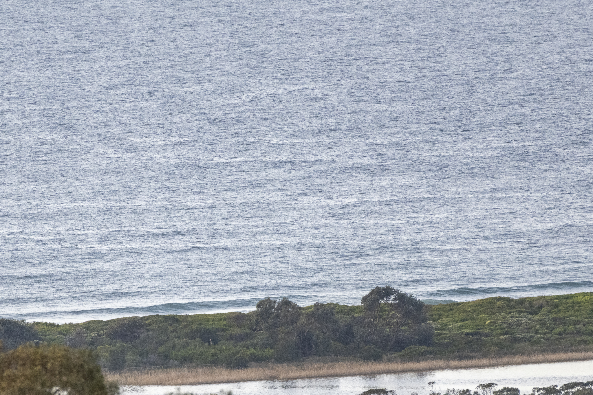
A breezy, partly cloudy start to Monday morning with a light northerly breeze texturing the ocean. There’s a tiny, short period NE wind bump out at sea, but it’s just too weak and tiny to deliver much of anything to Dee Why. Looks like a great day for a swim or a walk on the beach, but surfing’s pretty much off the agenda. Both the GFS and ECMWF swell models are predicting tiny to flat surf prospects through to next weekend. As of this morning the GFS model is showing a solid, long period south pulse arriving late Saturday, but it’ll likely be accompanied by strong south wind too.
Anyway, have a top old Monday everyone!
Weather Situation
A high pressure system over the southern Tasman Sea extending a ridge across coastal New South Wales with north to northeasterly winds. Northerly winds are expected to increase during Monday, and then shift southwesterly on Tuesday, as a trough approaches and then crosses the state.
Forecast for Monday until midnight
Strong Wind Warning for Monday for Sydney Coast
- Winds
- Northerly 15 to 20 knots, reaching up to 30 knots offshore in the evening.
- Seas
- 1 to 1.5 metres, increasing to 1.5 to 2.5 metres during the afternoon.
- Swell
- Northeast to southeasterly below 1 metre.
- Weather
- Partly cloudy.
Tuesday 30 August
Strong Wind Warning for Tuesday for Sydney Coast
- Winds
- Northerly 15 to 20 knots, reaching up to 30 knots offshore early in the morning. Winds turning westerly in the evening.
- Seas
- 1.5 to 2.5 metres, decreasing below 1.5 metres during the afternoon.
- Swell
- Northeasterly around 1 metre.
- Weather
- Partly cloudy. The chance of a thunderstorm.
Wednesday 31 August
- Winds
- Southwesterly 15 to 20 knots shifting east to southeasterly 10 to 15 knots during the afternoon.
- Seas
- 1 to 1.5 metres, decreasing to 1 metre during the morning.
- 1st Swell
- Southerly below 1 metre, increasing to 1 to 1.5 metres during the morning.
- 2nd Swell
- Northeasterly around 1 metre.
- Weather
- Partly cloudy.


