Hello Friends,
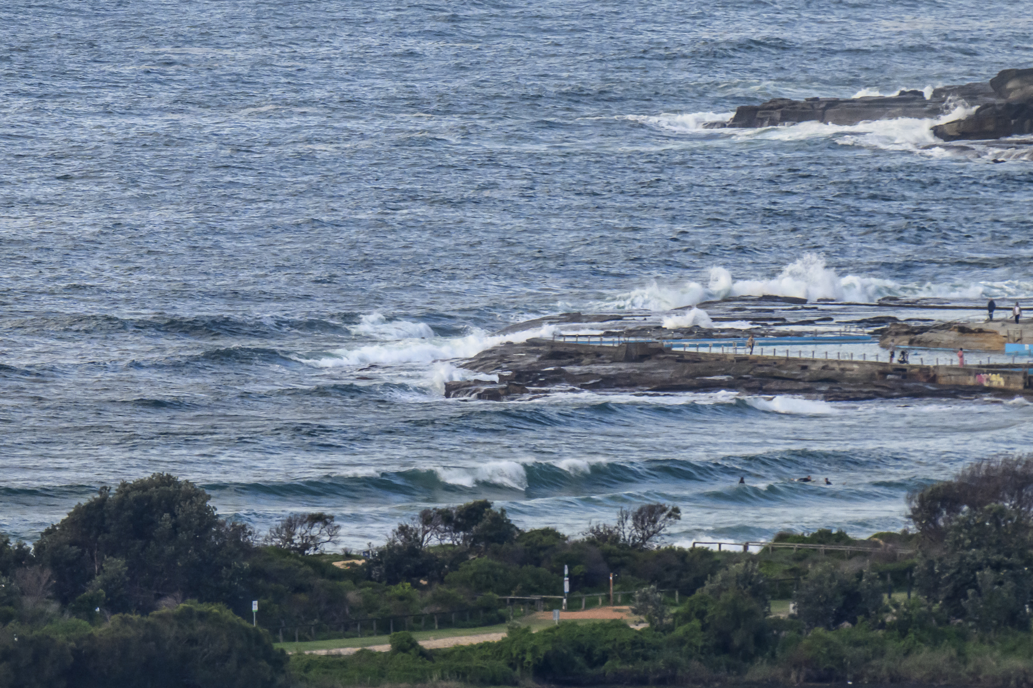
Dull and small around the place this morning. A 1.84 m high tide at 0710 and 15-20 kt SSE wind were doing a demolition job on the decaying south east wind swell. I didn’t see anyone in the water at Dee Why, nor on the Collaroy-Narrabeen stretch. Swell at sea is fading and as of first light was at around the 2 metre mark out at sea with an average period of 8 seconds.
The swell models are still showing a long period pulse hitting tomorrow, but the wind forecast is not looking good. The SE’ly is set to carry on through Thursday evening. It may tail off, so there could possibly be something marginal toward the end of the day. Thereafter, the aforementioned models show us going back to micro conditions through the weekend – and beyond.
Hope your Wednesday is a good one.
Weather Situation
A cold front lies over the far north coast and a high pressure system is located in the Bight. This high will move over the southern Tasman Sea during the day establishing an onshore airstream. A trough extends southwards from Queensland into northern NSW. Another frontal system and associated trough move into southwest NSW later on Friday before moving across the state over the weekend.
Forecast for Wednesday until midnight
Winds
South to southeasterly 15 to 20 knots.
Seas
1.5 to 2 metres.
Swell
Southeasterly about 2 metres.
Thursday 27 October
Winds
Southeasterly 15 to 20 knots tending east to southeasterly 10 to 15 knots during the morning.
Seas
Up to 1.5 metres.
Swell
Southeasterly 2 metres.
Friday 28 October
Winds
South to southeasterly 5 to 10 knots tending easterly during the afternoon then tending northeasterly 10 to 20 knots during the evening.
Seas
Below 1 metre.
Swell
Southeasterly 1.5 metres.