Hello Friends,
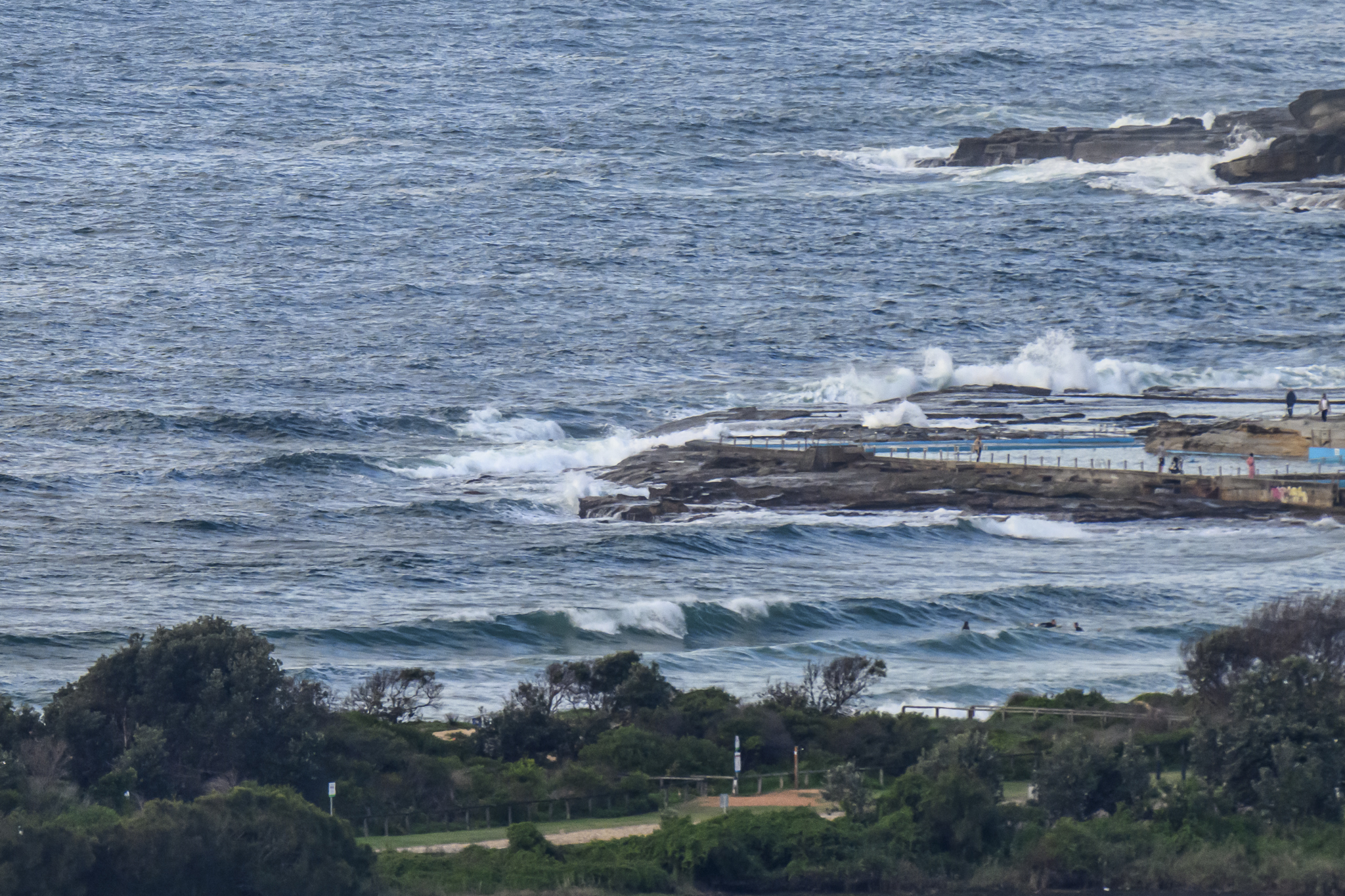
Wind was coming lightly from the NW at daybreak and out at sea the swell was 1.5 metres from 158° at 9 seconds apart. Sea temperature was 20C and tide was coming in to the 1.3 m high at 1035.
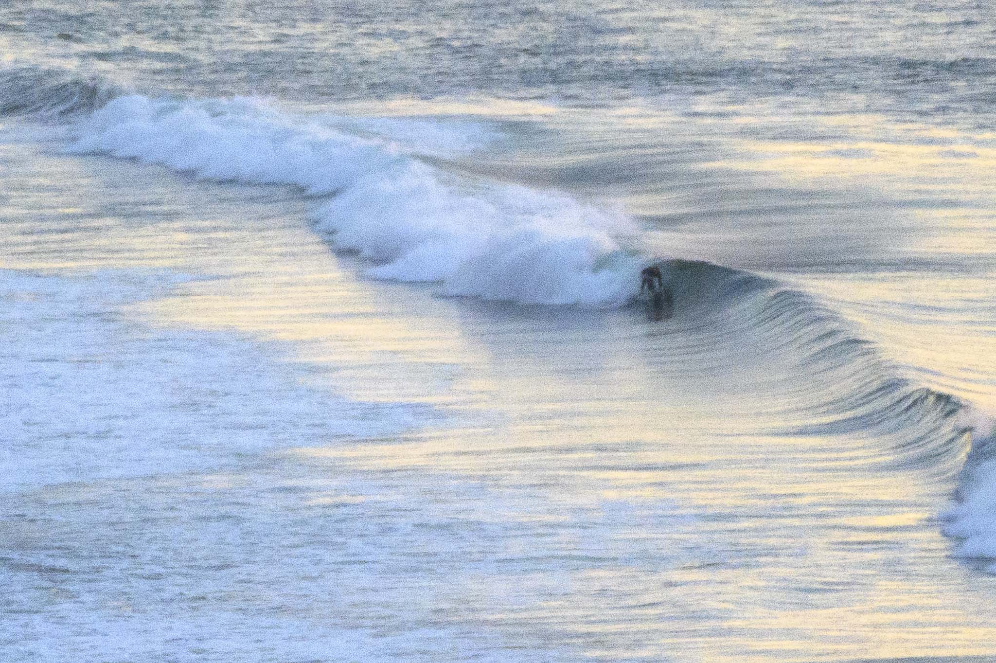
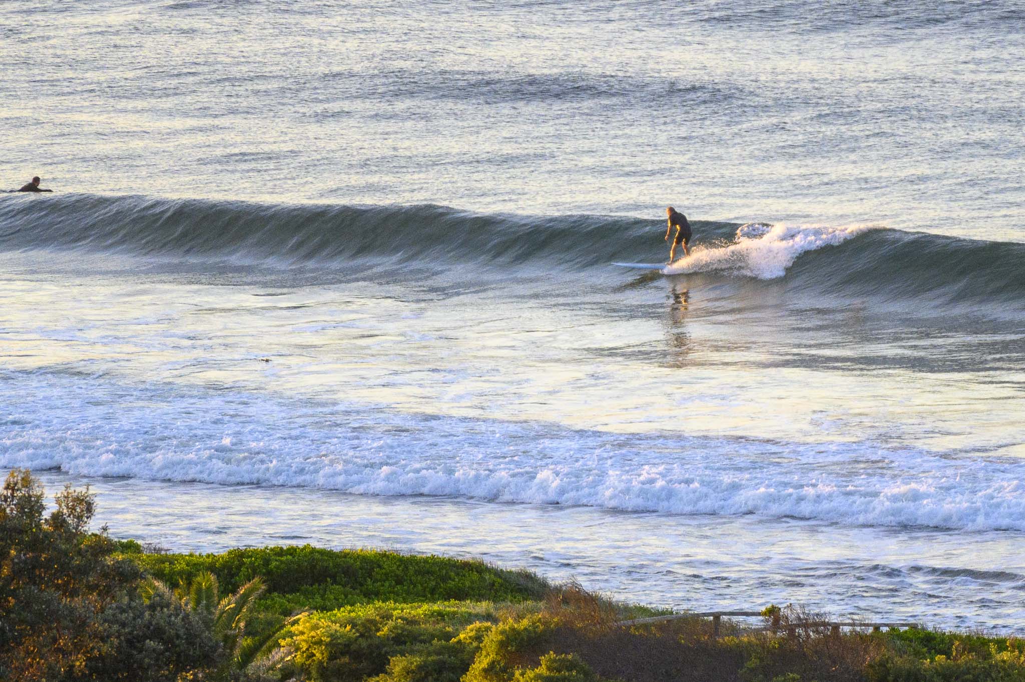
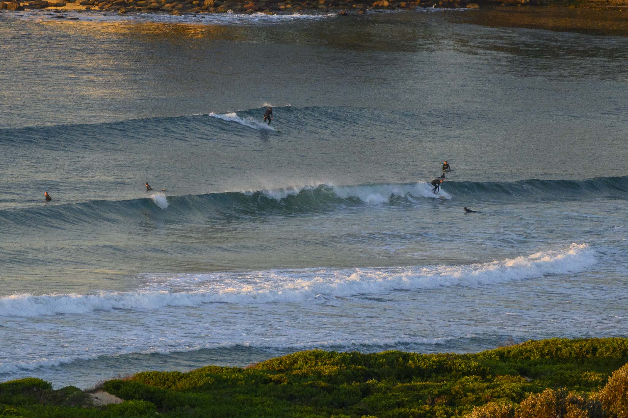
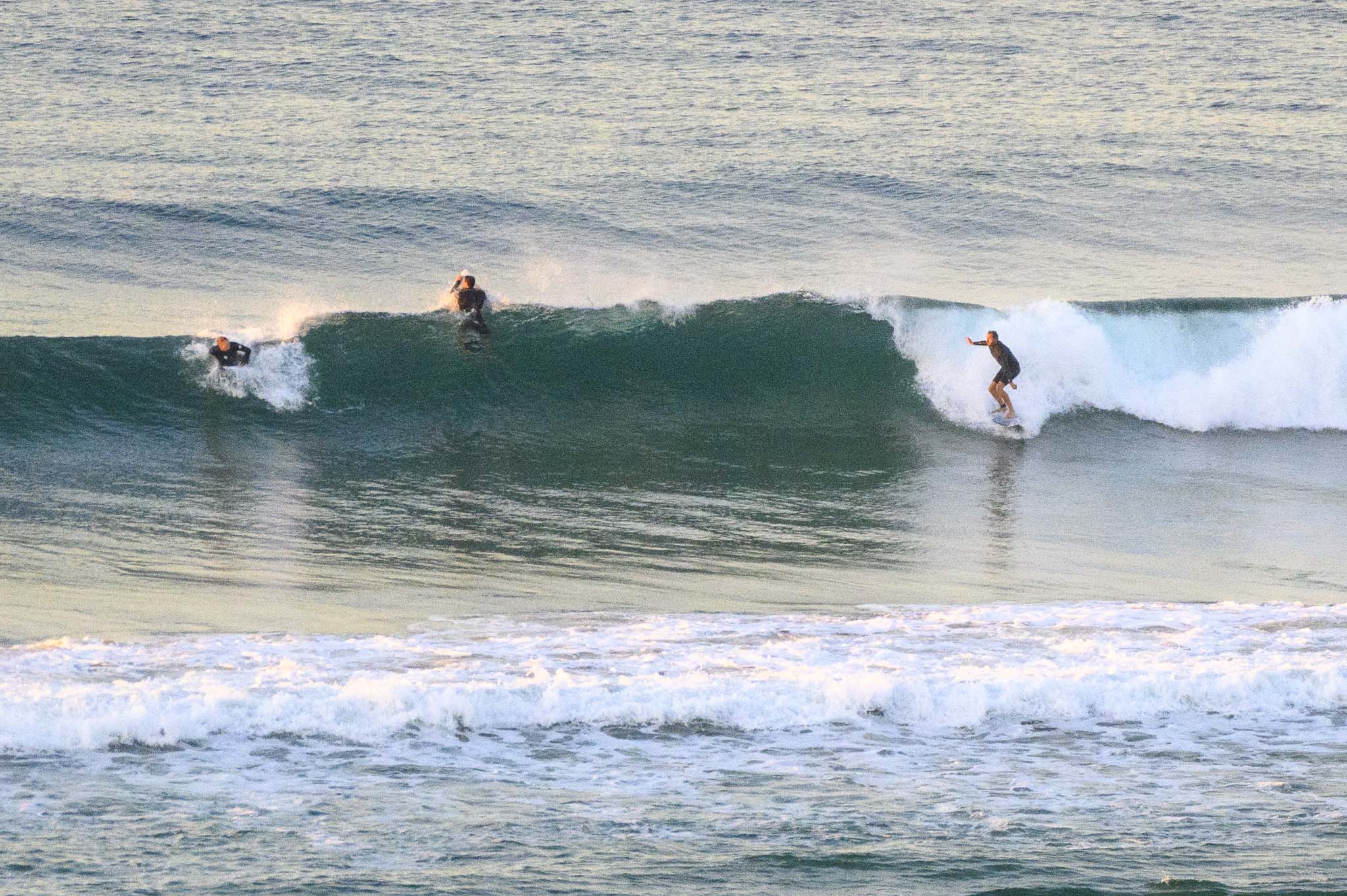
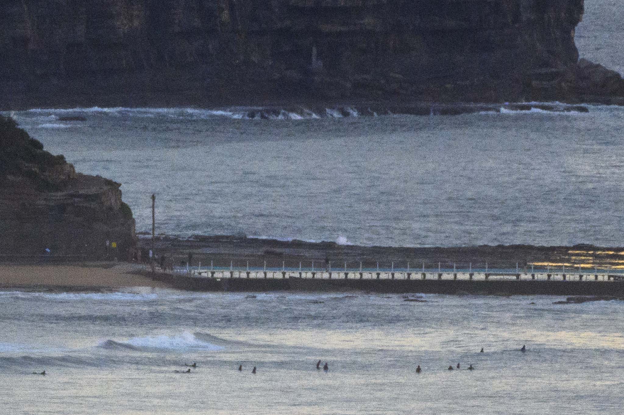
Plenty of chest high surf options around as Saturday got started along the beaches. Surface conditions were smooth and while it was setty, it looked consistent enough to make the dawn patrol crowds tolerable.
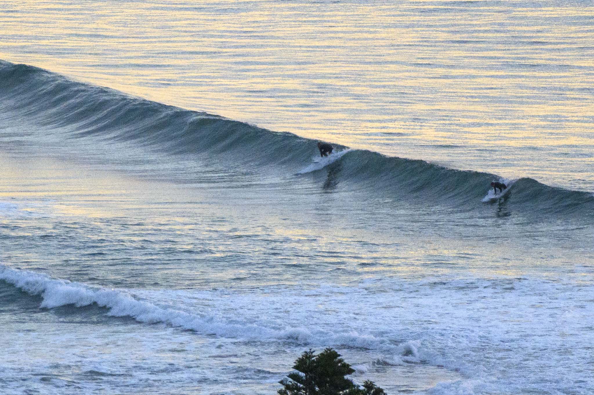
South swell is set to peak at around the 4 metre mark overnight, but should still be above 2 metres for the morning session. Wind should still be coming from the SW too. Could be good…
Right now it looks like Monday will be quiet for the early but some models are showing it picking up in the afternoon (along with south wind though). Tuesday morning looks somewhat hopeful for the dead south magnets with potential for head high sets. With luck, waves will continue into Wednesday and then maybe stick around for Thursday and Friday too. What an autumn we’re having!
Go well with your Saturday everyone!

Weather Situation
A cold front crossed northeastern parts of the state yesterday with fresh to strong southwesterly flow developing across southern and central parts of the coast. Another front is expected to cross southeast NSW today, with strong southwesterly winds increasing along most coastal waters and reaching gale force across the southern half of the coast during the day. Winds should abate on Sunday as a high pressure system moves over the region, though strong winds may persist about the south.
Forecast for Saturday until midnight
Gale Warning for Saturday for Sydney Coast
Winds
Westerly 15 to 25 knots increasing to 20 to 30 knots in the morning then tending southwesterly 25 to 30 knots in the late afternoon. Winds reaching up to 35 knots offshore in the late evening.
Seas
2 to 3 metres.
Swell
Southerly 1 to 1.5 metres, tending southwesterly around 1 metre around midday, then tending southerly 2 to 4 metres by early evening.
Weather
Partly cloudy. 50% chance of showers offshore late this afternoon and evening. Near zero chance of rain elsewhere. The chance of a thunderstorm offshore during this afternoon and evening.
Caution
Large and powerful surf conditions in the evening are expected to be hazardous for coastal activities such as crossing bars by boat and rock fishing.
Sunday 16 May
Strong Wind Warning for Sunday for Sydney Coast
Winds
Southwesterly 25 to 30 knots turning westerly 15 to 20 knots in the late morning and early afternoon.
Seas
2 to 3 metres, decreasing below 2 metres during the morning, then decreasing to 1 metre during the afternoon.
Swell
Southerly 2.5 to 4 metres, decreasing to 1.5 to 2.5 metres during the morning.
Weather
Partly cloudy.
Caution
Large and powerful surf conditions are expected to be hazardous for coastal activities such as crossing bars by boat and rock fishing.
Monday 17 May
Winds
West to southwesterly 15 to 20 knots turning southerly 15 to 25 knots during the afternoon.
Seas
1.5 to 2 metres.
Swell
Southerly around 1 metre, increasing to 2 to 3 metres during the morning.
Weather
Partly cloudy.