Hello Friends,
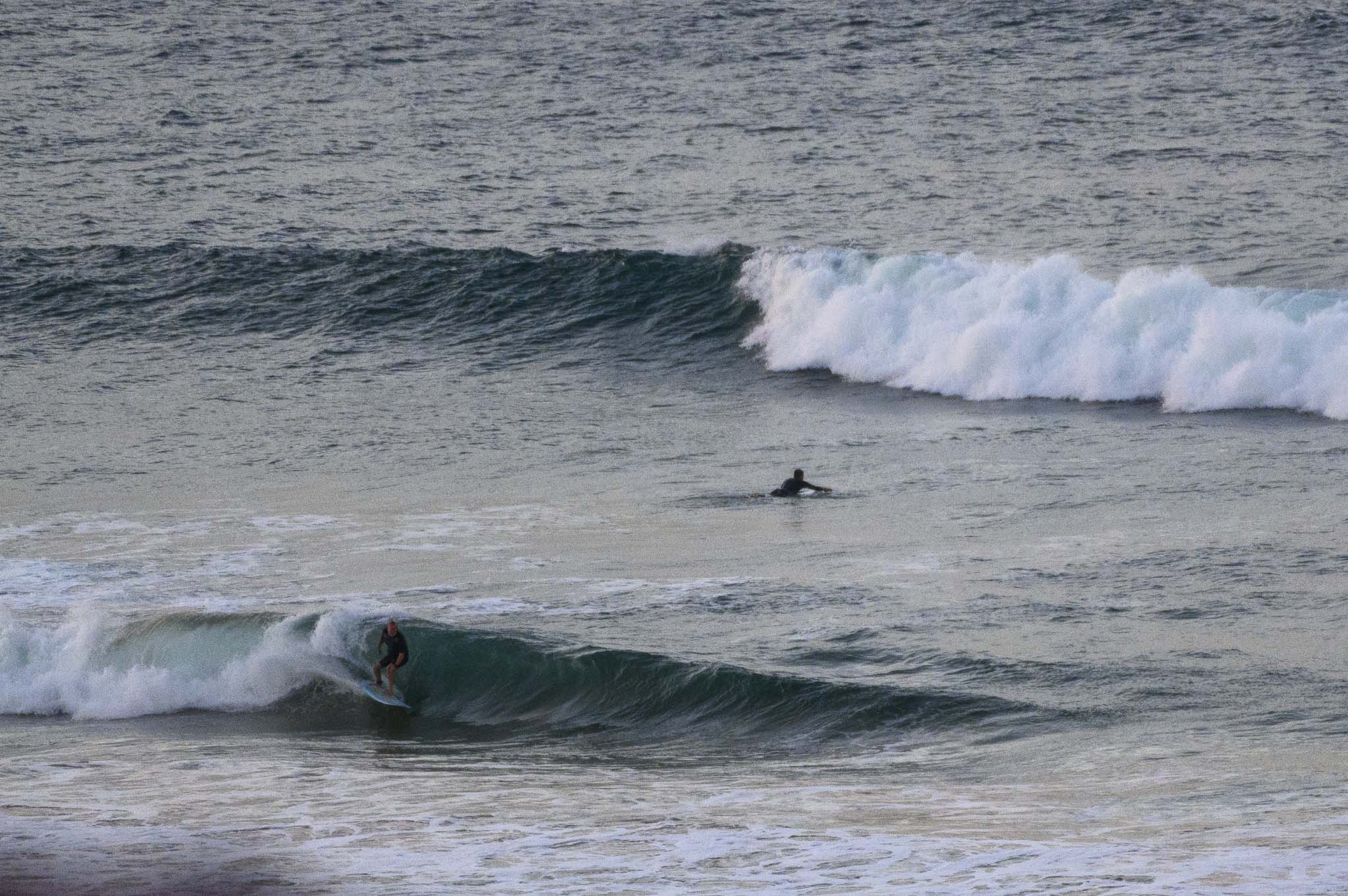
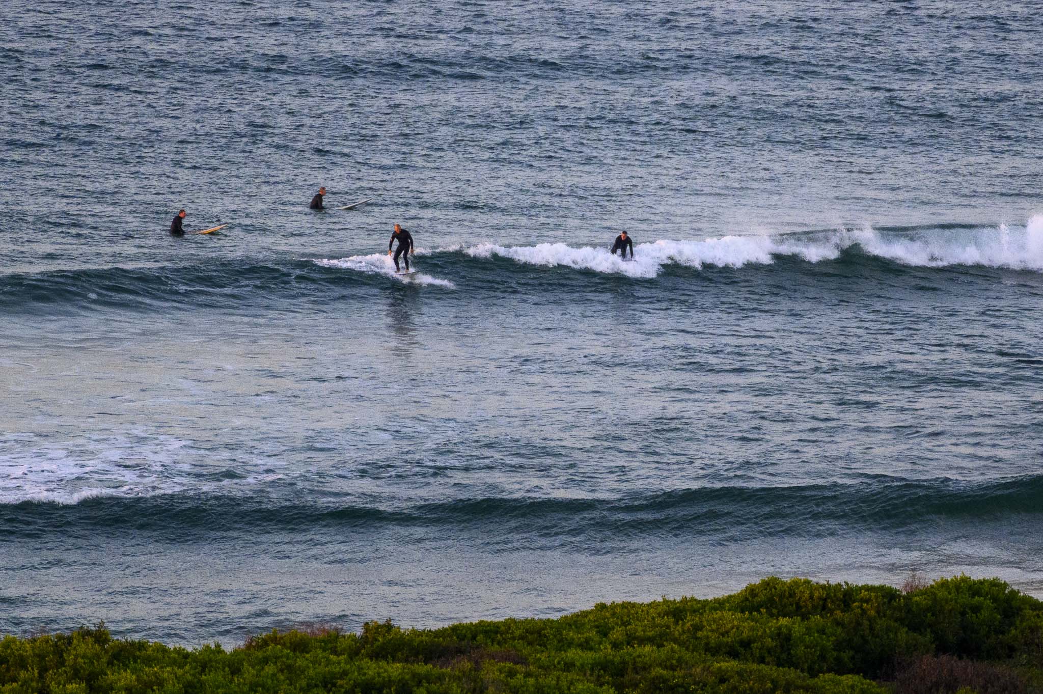
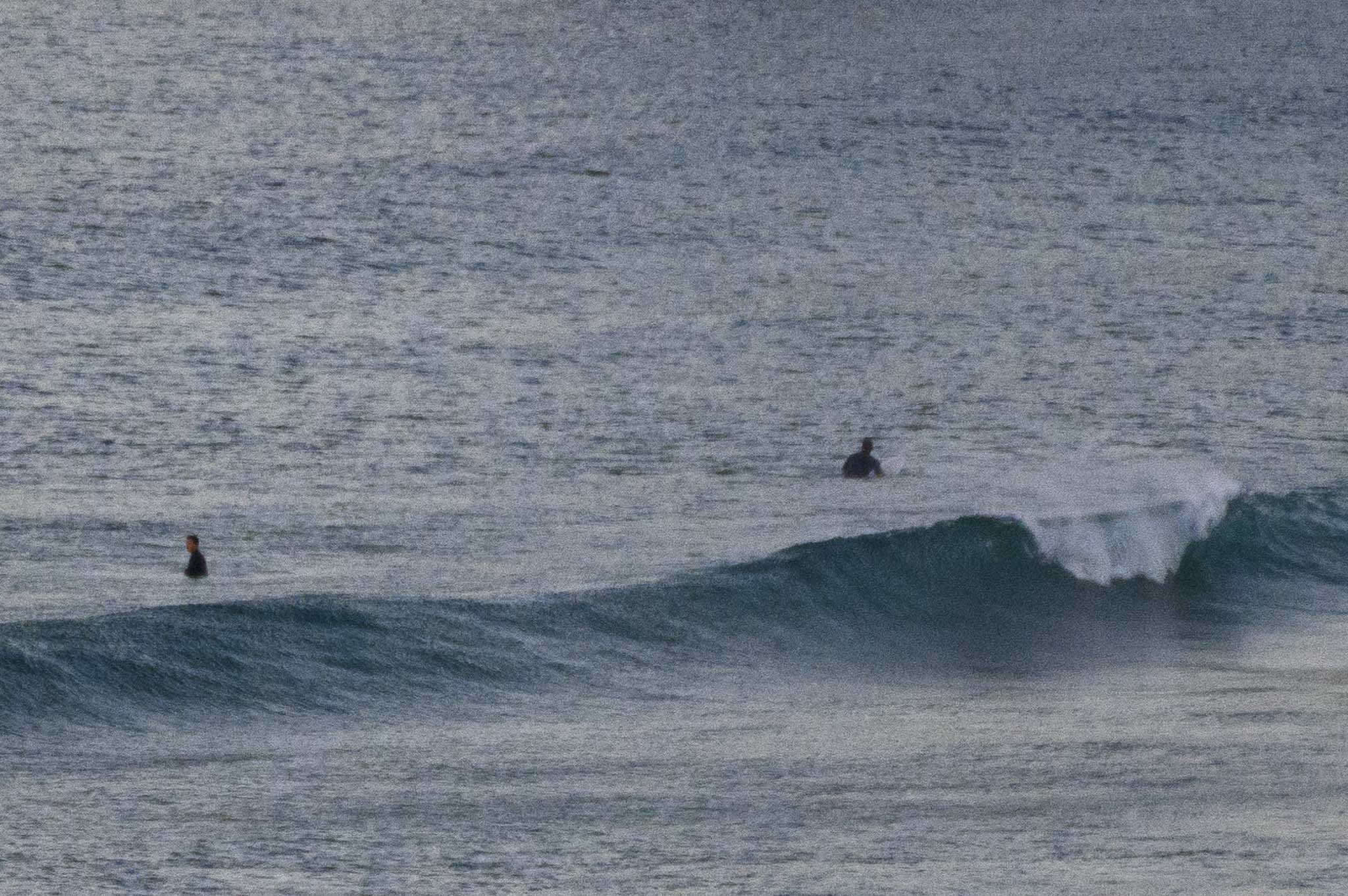
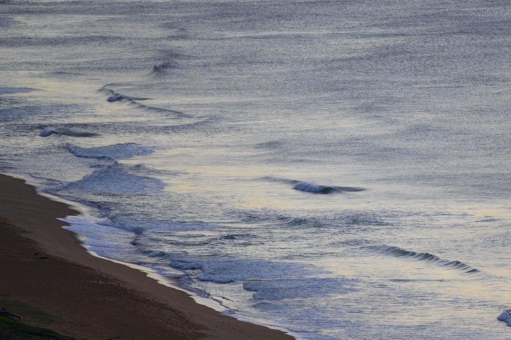
At daybreak the wind was out of the west at 8-9 kts, air temp was 8C and the swell at sea was a metre at 9 seconds and coming from the SSE (168°). Skies were mostly clear and tide was dropping to the 0.45 m low at 1040. The weather forecast is calling for a mostly sunny day with a high of 21C.
Outlook is for swell conditions to rattle along at the current level through the weekend before starting to improve again on Monday and then it’s currently looking hopeful for a little more size on Tuesday and Wednesday as the swell ramps into the shoulder-head high range with light winds for the early sessions.
Weather Situation
A high pressure system lies over the Tasman Sea, and a surface trough lies off the northern coast of New South Wales. The next cold front set to cross the state mid next week.
Forecast for Saturday until midnight
- Winds
- Southerly 10 to 15 knots.
- Seas
- Around 1 metre.
- Swell
- Southerly around 1 metre.
- Weather
- Partly cloudy.
Sunday 23 May
- Winds
- Variable about 10 knots.
- Seas
- Below 1 metre.
- Swell
- Easterly around 1 metre.
- Weather
- Partly cloudy. 60% chance of showers.
Monday 24 May
- Winds
- Easterly 10 to 15 knots decreasing to about 10 knots during the morning.
- Seas
- Below 1 metre.
- Swell
- Easterly around 1 metre, increasing to 1 to 1.5 metres during the evening.
- Weather
- Partly cloudy. 50% chance of showers.


