Hello Friends,
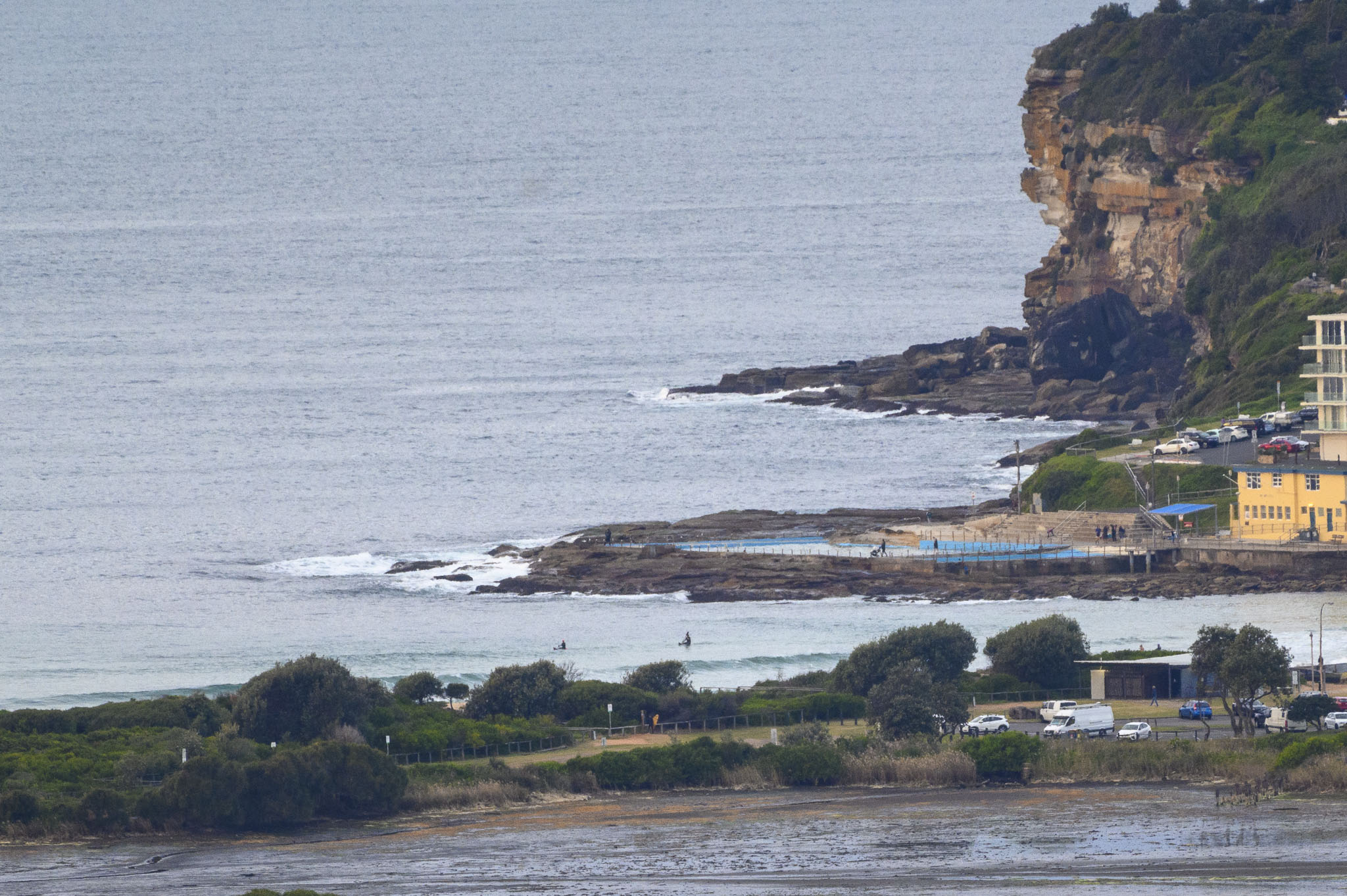
Although it looked to be clouding up this morning, the Bureau says there’s only a 10% chance of rain. And I’d say it looks like only a 10% chance of catching a wave above waist high at Dee Why. Surface conditions were smooth before 0800 and out at sea the buoys were seeing 1.3 metres of 11-12 sec dead south swell. So maybe you could find a waist plus every now and then at optimal exposures. Yesterday Beachwatch was calling water temp 20C.
Swell models are uniformly bleak for the near term. What we have now is likely to be what we have until our next south change arrives on Saturday. And then it’ll be windy and messy for a couple of days from the current predictions.
Go well with your Tuesday everyone!
Weather Situation
A weak high pressure ridge extends across the east, with a trough brushing the central parts of the coast this morning. Winds will turn northerly on Wednesday ahead of the front that will bring a westerly wind change on Thursday.
Forecast for Tuesday until midnight
- Winds
- Southwesterly 10 to 15 knots becoming variable about 10 knots in the evening.
- Seas
- Below 1 metre.
- Swell
- Southerly around 1 metre.
- Weather
- Partly cloudy. 60% chance of showers.
Wednesday 16 June
- Winds
- Northwesterly about 10 knots tending northerly 15 to 20 knots in the afternoon.
- Seas
- Below 1 metre, increasing to 1 to 1.5 metres by early evening.
- Swell
- Southeasterly below 1 metre.
- Weather
- Mostly sunny. 50% chance of showers. The chance of a thunderstorm offshore in the late afternoon and evening.
Thursday 17 June
- Winds
- Northwesterly 20 to 25 knots turning westerly 15 to 25 knots during the morning.
- Seas
- 1 to 2 metres.
- Swell
- Southeasterly around 1 metre.
- Weather
- Mostly sunny. 50% chance of showers. The chance of a thunderstorm in the morning


