Hello Friends,
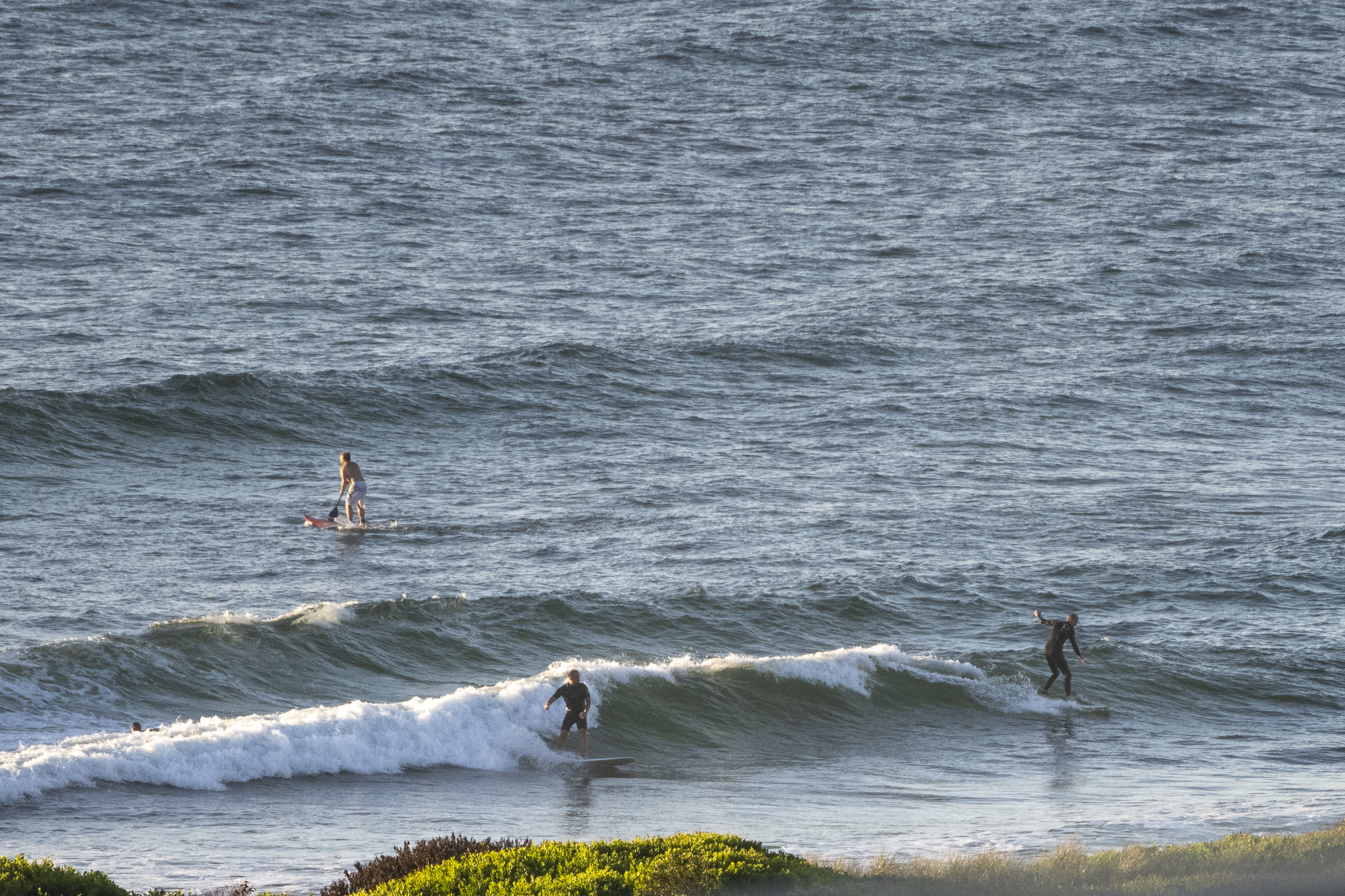
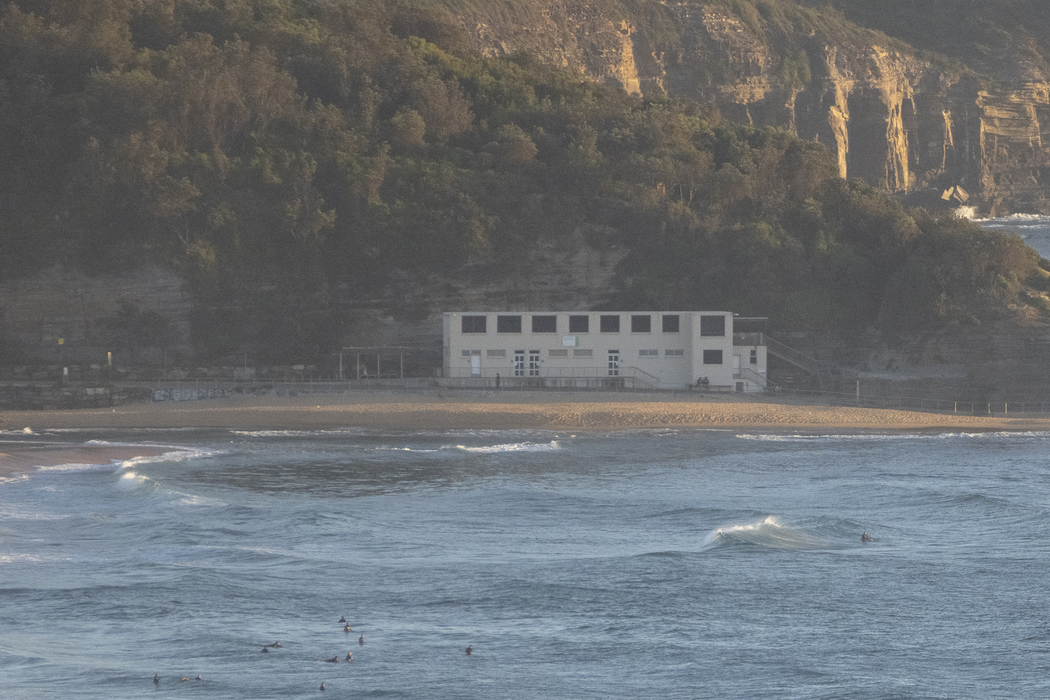
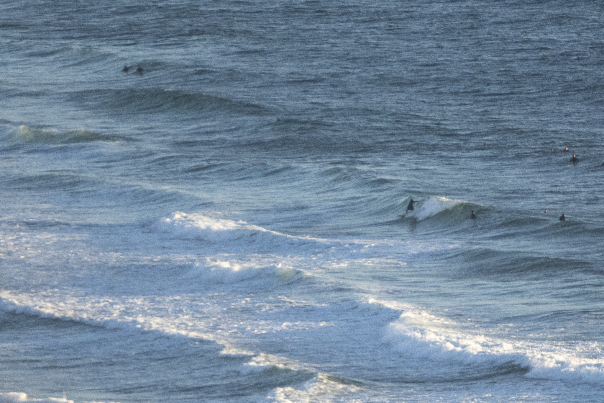
Another sunny start with weak knee to waist high NE wind waves at the focal points. Wind was coming from the NNE at 7-11 kts as of 0700. As the day warms up to the 29C high, the wind will get into the 15-25 kt range. Swell at sea was 1.1 metres at 10 seconds as of 0700. Water is on 23C and our next tide is a low at 1210.
The Goat dropped his latest forecast yesterday, so if you’re wondering about our prospects, check it out.
Go well with your Saturday everyone and stay safe!

Weather Situation
A high pressure system will be the dominant feature over the southern Tasman Sea for the next few days extending a ridge to the northern New South Wales coast. The ridge will maintain east to southeasterly winds along northern parts of the coast and north to northeasterly winds along southern parts.A weak trough is expected to bring a weak and brief southerly change to the South Coast during Saturday, with winds shifting back to the northeast from Sunday.
Forecast for Saturday until midnight
- Winds
- Northeasterly 15 to 25 knots.
- Seas
- 1.5 to 2 metres, decreasing to 1 to 1.5 metres during the morning, then increasing to 1.5 to 2 metres during the afternoon.
- Swell
- Easterly around 1 metre, increasing to 1.5 metres around midday, then tending east to northeasterly around 1 metre during the afternoon.
- Weather
- Mostly sunny.
Sunday 30 January
- Winds
- Northeasterly 15 to 20 knots.
- Seas
- 1 to 1.5 metres, decreasing to 1 metre during the morning.
- Swell
- Easterly around 1 metre inshore, increasing to 1 to 1.5 metres offshore.
- Weather
- Partly cloudy.
Monday 31 January
- Winds
- East to northeasterly about 10 knots increasing to 10 to 15 knots during the day.
- Seas
- Below 1 metre.
- Swell
- Easterly around 1 metre, increasing to 1.5 metres during the morning.
- Weather
- Partly cloudy. 50% chance of showers. The chance of a thunderstorm in the morning and afternoon.


