The Goat’s Surf Forecast

Surf forecast issud Thursday 2 May 2024: Seven day outlook for Sydney Look, there were reasonable looking waves at at couple of places this arvo, which had like about 50 after schoolers out at DY Beachbreak, but quite honestly unless your’e around that age with ridiculous energy to burn and immune systems that will shield […]
The same and more of the same to come
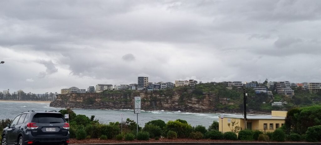
Hello Friends, It’s been raining too frequently for me to get a picture from the RealSurf crows nest, but the shot above captured by the Goat himself of yesterday afternoon at Freshie is still a reasonable approximation of the conditions. We had 54mm of rain at RS HQ yesterday and around dinner time my phone […]
Smooth as a lake at Dee Why
Hello Friends, No surf this morning at Dee Why folks. Too bad, as the surface conditions are smooth and the rain hasn’t set in. There is a tiny south swell offshore, so maybe there’ll be a south magnet with a little wave every now and then. The GFS model is projecting sub-1 metre swell for […]
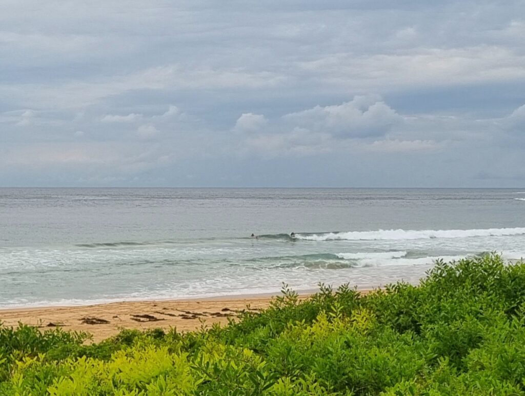
Looking small and scrappy Monday morning
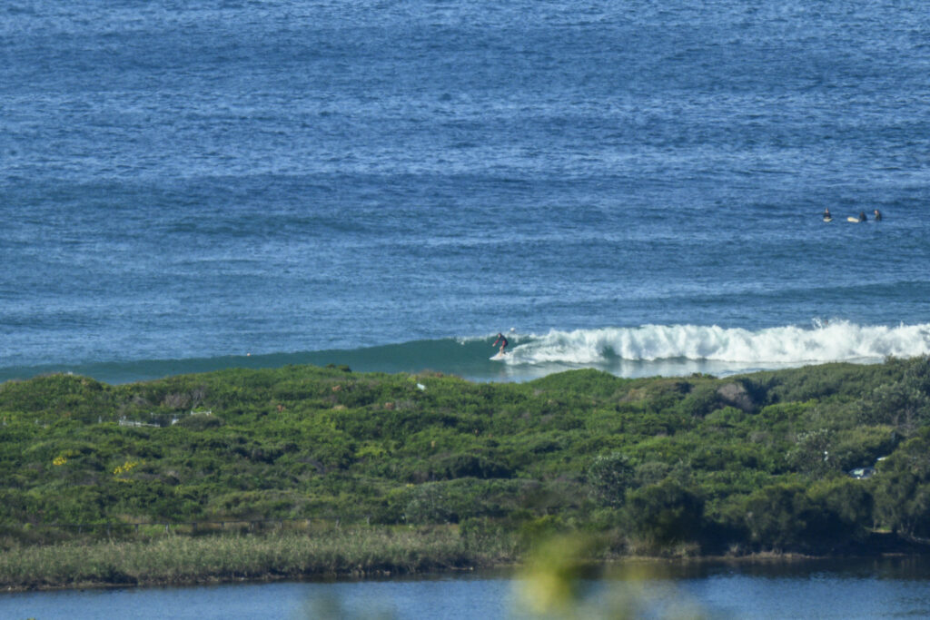
Hello Friends, This morning saw sunny skies and light WNW wind chopping up the metre or so of 9-second SE swell that was washing into Dee Why. It was too small to light up the point and the beach looked, shall we say, undistinguished, with only the occasional choppy knee to waist high set offering […]
Sunny Sunday start with waves to be had
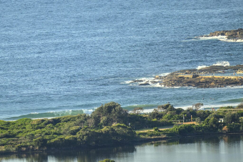
Hello Friends, Sunday kicked off with sunny skies, light WNW wind and a fading 1.3 metre, 10 second dead south swell. Tide was filling into the moderate 1.3 m high at 1110. Given the benign conditions, it didn’t look overly crowded for a weekend morning with waves. Quality was ok, but not exceptional and the […]
There be waves

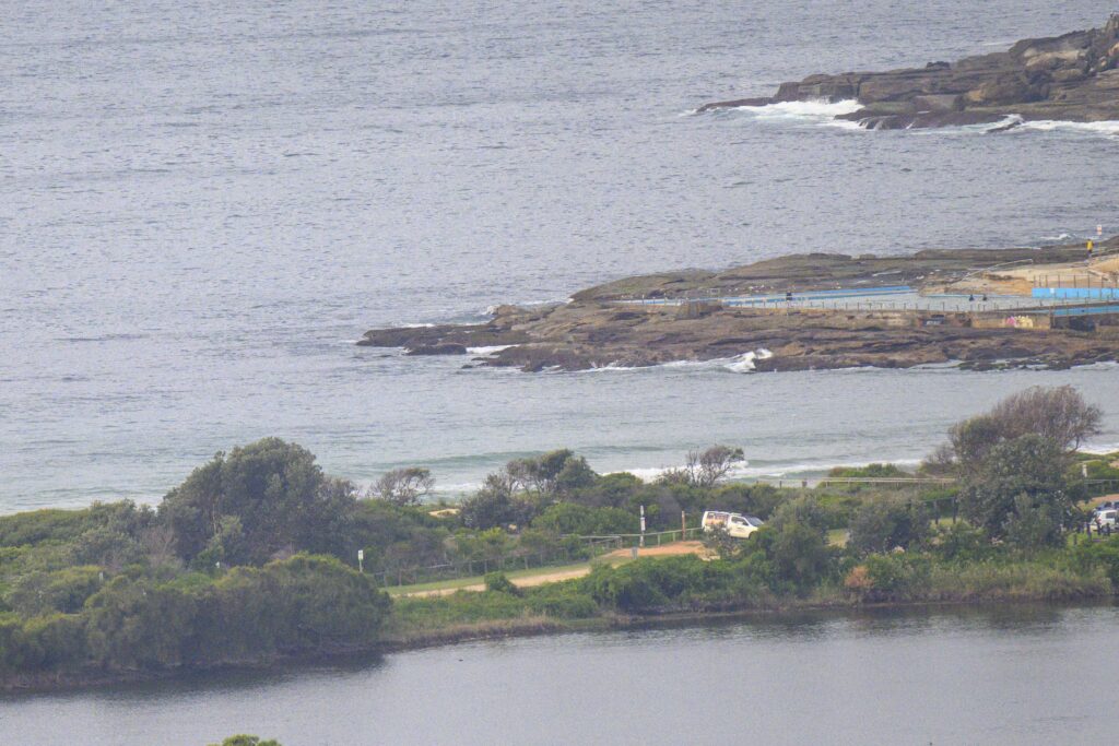
Hello Friends, Looks like there are waves for you this morning and the wind’s still okay as of 1100. Image is shared from MHL. Here’s what the Bureau says about the next three days. Go well, stay safe! Weather Situation A strong high over the Bight extends a ridge over southeast Australia. It is expected […]
Waves and people galore
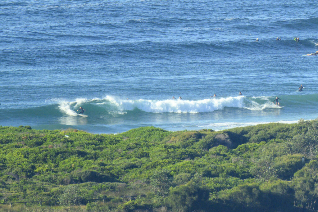
Hello Friends, WSW wind and 3 metres of 9-second south swell were producing waves of a sort at Dee Why this morning. On the Friday morning a couple weeks ago when I was hobbling up the beach following my tussle with the rocks at the point, I noticed that a distinct peak had formed north […]
The Goat’s Surf Forecast
Surf forecast issued Friday 26 April 2024: Seven day outlook for Sydney Heeyy… Just so you know… a Large Surf Warning doesn’t necessarily mean it’ll be good. Not if the reason for it is wind generated by a great big High, with the wind and swell coming up from a long way down south together, […]
Late Friday, tiny waves spotted by the Goat
Two kids find the only wave at a secret surf spot in Sydney and have it all to themselves… Dark clouds loom from the south, possibly with some wind too. Water still stained from the Hawkesbury runout to sea but I guess their young immune system a can handle it. TG
The Goat’s Surf Forecast
Surf forecast issued Thursday 18 April 2024: Seven day outlook for Sydney Well I suppose it had to happen sometime, lamented TG… The change of season time has started to bring cooler weather, more showers and some dullness to proceedings. Water temp is around the air temp or better at times, but a cool breeze […]