Have a laugh, it’ll do you good!

Dogging.#LifeCommentary #LiveCommentary pic.twitter.com/BuRkVWAGjX — Nick Heath (@nickheathsport) March 21, 2020
Fire
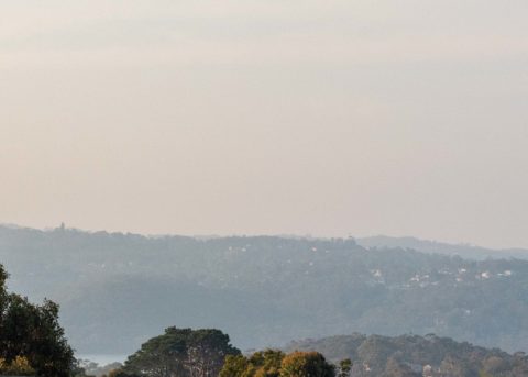
Tuesday’s forecast is horrific. As I write this on Monday evening the blue skies of this morning are gone, replaced by a smoky beige. And the wind is gusting into the 30 kt range. Here’s the latest from the Bureau: Fire Weather Warning for the Far North Coast, North Coast, Greater Hunter, Greater Sydney Region, […]
Swell hasn’t yet arrive at Dee Why
According to the charts, at Dee Why, by now it’s supposed to be 2.3m at 11s with 18kn of wind. but it’s windless and there’s no sign yet of the impending swell.
Warriewood partially treated wastewater bypass event Tuesday night
Tuesday evening at 2122: From Sydney Water “Partially treated discharge at Warriewood at 2121 April 20th. Flows receiving wet weather treatment.”
SE wind from the get-go
Hello Friends, At 0100 this morning there was about 1.3 metres of 8-9 second period ENE wind swell showing on the MHL buoy. A little before 0400 the wind was around 15 kts from the SE and tide was headed to a low at around 0510. So, not the most promising outlook for the dawn […]
Oh spring where is thy sting?
Hello Friends, Pretty quiet out there. Early this morning the MHL buoy was detecting about a metre of 9-sec south wind swell. Wind was 10-15kts from NE and the forecast is calling for partly cloudy and 25 degrees with maybe a shower or two late this afternoon. Next tide is a high at 1140. So, […]
A challenge even for the super keen
Hello Friends, Looking at the numbers for Sydney, I’m not really sure how possible it is to even catch a wave this morning. There’s only the faintest little shading on the MHL buoy spectral data chart. It looks to be under the metre mark at not quite 8 seconds from the ENE. High tide’s at […]
Drifting into the doldrums
Hello Friends, Not great numbers to start with this Tuesday. About a metre of 8-sec south wind swell showing on the MHL Sydney buoy and 10-15 kts of ESE wind along the coast. Throw in a high tide at a little after 1000 and I’m not overconfident about the wave prospects for you. Ankle to […]
Microness for Sunday
Hello Friends, Pre-dawn wind was northerly and it should stay that way for the first few hours of daylight before turning gradually to the NE. The MHL buoy was showing ENE wind swell of about 1.3 metres with some nearly 10 second component. My hunch is that means marginal dribble most places and maybe the […]
Short period stuff
Hello Friends, 15 kts of southerly blowing at 0530 and about 1.6 metres of 6-sec period SSE wind swell hitting the MHL buoy. And there’s a high tide a little after 0800. Not a recipe for great things I’d have to say. In fact, I’d probably-in given those numbers. Best I reckon you could hope […]