Hello Friends,
Running a little late this morning, apologies.
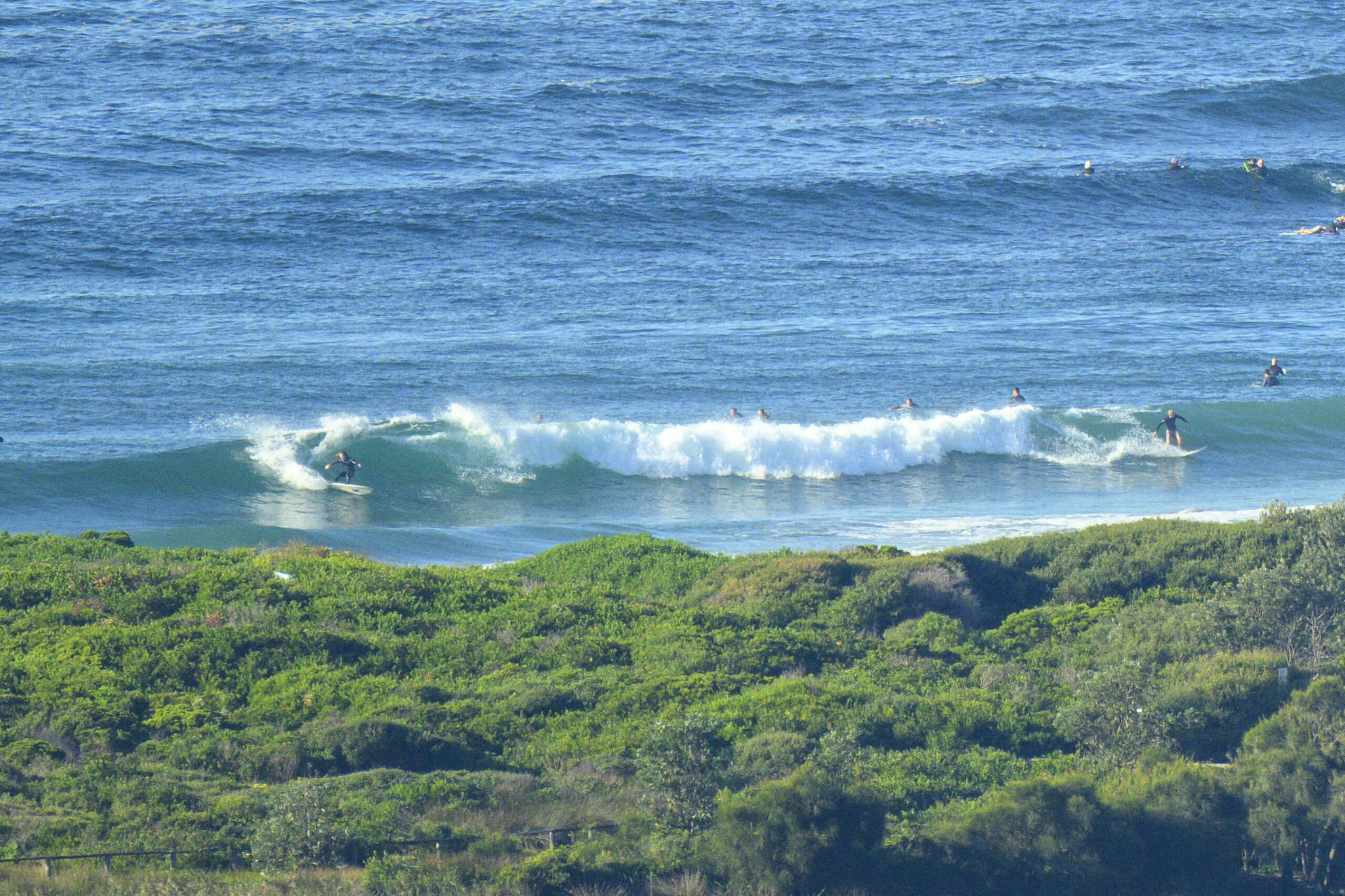
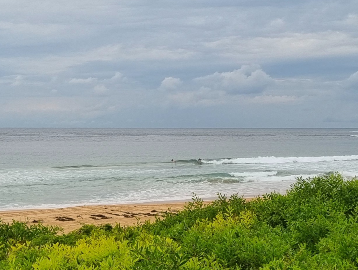
We still have a few scraps of knee to waist plus SSE swell showing along the beaches this morning. At 0700 the MHL Sydney buoy was recording energy from the south around to the east, but the most focuse stuff was at 131 degrees. It was averaging 1.4 metres with a period of 9.8 seconds, so that meant there were waves of some sort from South Steyne to Queensie, at mid-Curly and from about the Pole north along the Dee Why to Longy stretch.
Surface conditions were glassy under high overcast skies and tide will hit high a little before 1030.
This morning’s swell forecast modelling agrees with the Bureau that Weds and Thursday are not likely to be interesting. In fact, Thursday is shaping up to be flat as a tack, so I hope that isn’t your day off this week!
But then… things are looking more promising in terms of swell energy. If the forecasts are correct, we could see a very long fetch deep into the southern ocean developing from around Thursday. By Friday evening the freight train could be with us as the swell ramps into the 3-4 metre range from the south with periods potentially around 10-12 seconds.
The big issue looks to be the wind. which, according to some predictions could be pretty vigorous from the SW. Right now it looks as though the peak will be early in the swell event, but there’s hope that it will persist through to Monday.
Have yourself a great Tuesday!


Weather Situation
A high over the Tasman Sea is drifting slowly east, while a broad trough moves from central Australia into western New South Wales. This trough will cross the coast during Wednesday, with northerly winds shifting westerly in most areas as it passes. Following this, a strong cold front is expected during Friday, bringing strong to gale force southwesterly winds which may linger into the weekend.
Forecast for Tuesday until midnight
- Winds
- Variable below 10 knots, becoming north to northeasterly 10 to 15 knots later in the morning.
- Seas
- Below 1 metre.
- Swell
- Southerly 1 to 1.5 metres.
Wednesday 16 July
- Winds
- Northerly 15 to 20 knots, turning westerly and reaching 25 knots offshore in the late morning.
- Seas
- Around 1 metre, increasing to 1 to 2 metres offshore during the morning.
- Swell
- Southeasterly below 1 metre.
Thursday 17 July
- Winds
- West to northwesterly 15 to 25 knots increasing to 20 to 30 knots during the evening.
- Seas
- 1 to 1.5 metres, increasing to 2 to 3 metres during the afternoon or evening.
- Swell
- Southeasterly below 0.5 metres.
- Weather
- Isolated thunderstorms offshore in the evening.


