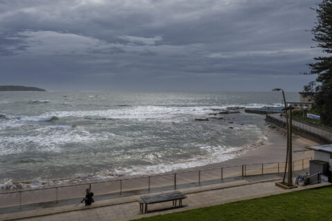
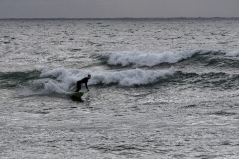
Perfect looking start to Monday at Dee Why
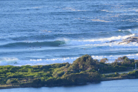
Hello Friends, As of 0730, swell at sea was 4-6 metres at 13 seconds from 174° (ie, south). Wind was west 10-13 kts and tide was coming in to a moderate 1.3m high at 1015. The ocean is 21. Skies were clear and the air temp was around 10C. As the pictures show, the swell […]
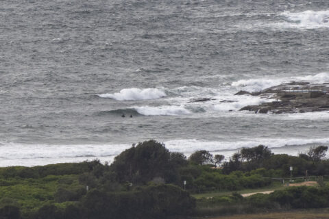
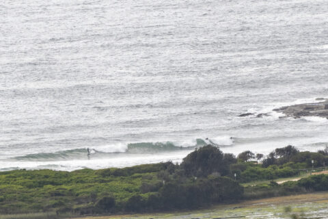
Wild swell conditions this morning
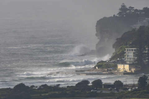
Hello Friends, Pretty crazy looking this morning at Dee Why thanks to 3 metres of 10-second ENE swell and light WNW wind. Definitely not the conditions for beginners or even most intermediates. You’ll need to be fit and experienced to even think about it. And then there’s the water. Yesterday I had an alert from […]
Rainy dribble surf day
Hello Friends, No surf at Dee Why this morning. Swell was 1.3 metres and coming from the E by ENE at 10 seconds as of 0730, so there were messy, weak looking, waist to chest high plusses in the best angled south corners (eg Manly, but not Dee Why). Wind was out of ESE at […]
Dullsville
Hello Friends, Another non-descript, grey, drizzly morning with 10-15 kts of NE wind (that blew all night). The rainy weather is set to continue all day and the wind will stay NE but pick up into the 20-30 kt range. Swell at sea was 2.6 metres at 13 seconds from the SSE and around 6-8 […]
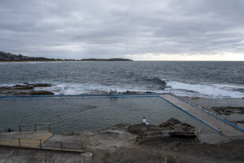
Clearing skies and lumpy size
Hello Friends, No one in the water to speak of from Manly to Dee Why as of 0900. There’s a 2.3 metre 8-sec east wind swell coming in, so there are some reasonable size faces at the better exposures, but as you can see from the pics, the 15-20 kt NNE wind was smashing the […]
Another grey and choppy start
Hello Friends, The NE wind blew all night and was 10-15 kts at daybreak. Swell was 1.8 metres at 11 seconds from the east but as you can see from the pics, the usual situation prevails at Dee Why in a NE’r. Head for the north corners if you’re keen. Tide was low at 0545 […]
Soft and small but not flat this morning
Hello Friends, A light NW breeze was ruffling the surface at Dee Why as of 0800. There were a few people in the water along the beach but evidently the point was too small to attract any hopefuls. The waves looked okay, but not remarkable. Swell at sea was a shade under 1.5 metres and […]
Weak, small and junky this morning
Hello Friends, After blowing steadily through the night, the east wind was 10-15 kts at 0730. Swell has faded to 1.6 metres from the SSE at 10 seconds. So, not a great picture on the surf front. And a swampy 1.7 m high tide at 1000 isn’t helping. Looks like a good day to get […]
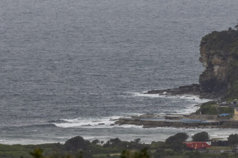
Chilly, choppy and southerly
Hello Friends, Coastal showers, southerly and a brisk 13C at RealSurf HQ as Monday sputtered into life. The ocean has that sideshore, south bump look to it and the 2.5 metre 9-second SSW swell appeared to be pretty much missing the Dee Why end. We’re starting the day with a 1.68 m high tide, so […]
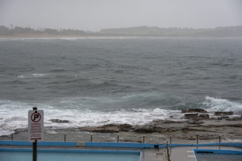
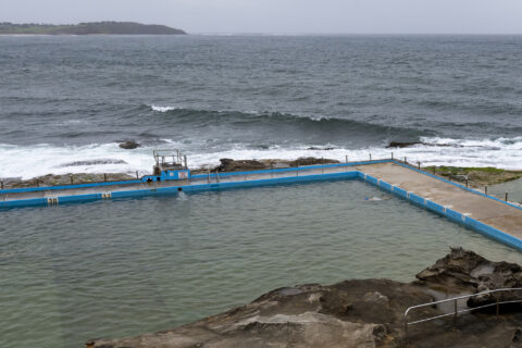
Grey, choppy and small
Hello Friends, Grey skies threatening rain, 12-18 kts of ESE wind and 1.5 metres of 10 second ESE swell do not a pretty picture make. Not a surf day at Dee Why, nor anywhere else along the Sydney region’s coast. The next few days are looking pretty ordinary surfwise but there might be the odd […]